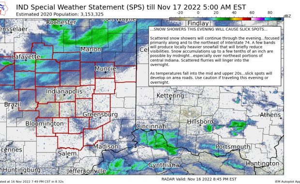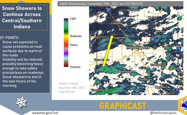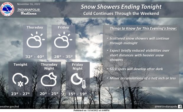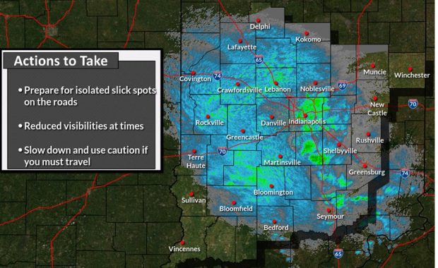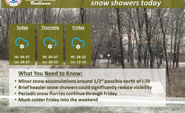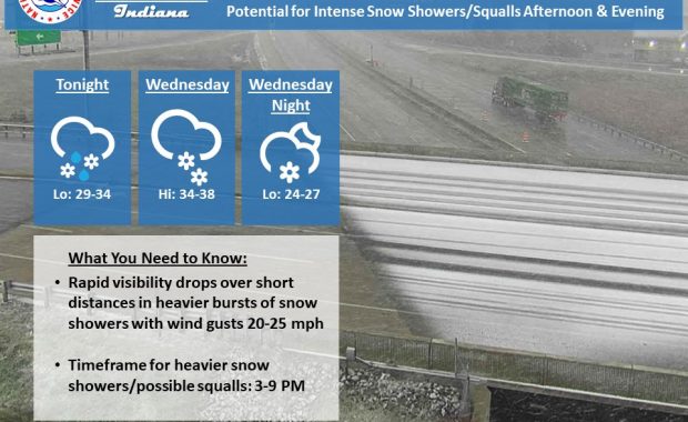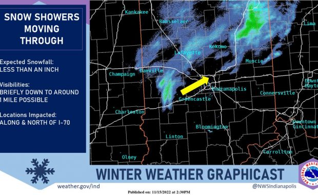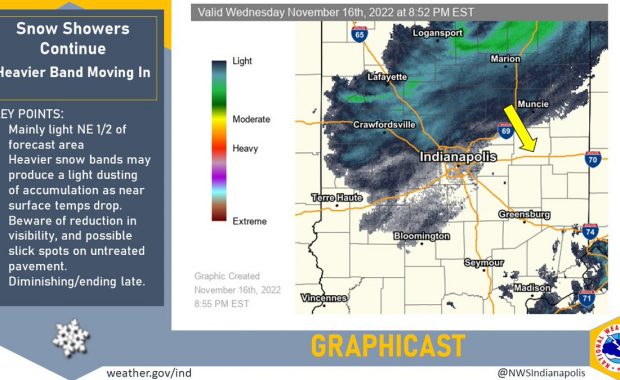
(Via @NWSIndianapolis.) Mainly light snow to pivot across NE 1/2 of forecast area this eve. Heavier bands may produce a dusting of accumulation as air temp drops. Beware of reduced visibility and possible slick spots on untreated pavement. Snow showers will diminish and end late. #INwx #nwsind https://t.co/Wp7X2CE6vS My Huge Radar has real-time weather tracking, […]
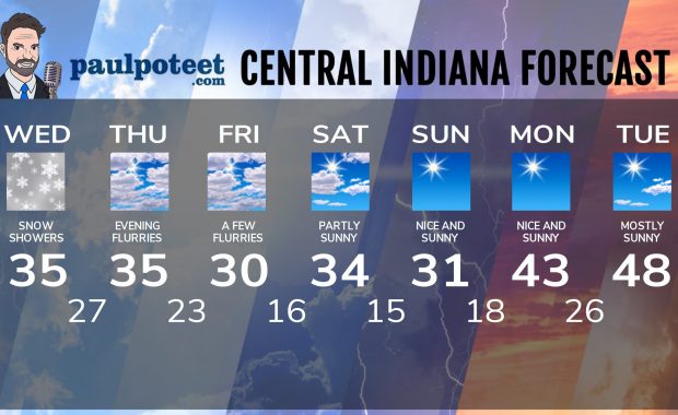
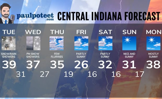
Never miss me! Subscribe for free. My Huge Radar has real-time weather tracking, current temperatures, and severe weather watches and warnings. Get detailed Indiana conditions by clicking here. Click here to see my central Indiana 7-Day Forecast. Follow these links to get my forecasts for Lafayette, Muncie, Hendricks County, and Hamilton County. Need a second opinion? Click here for central Indiana National Weather Service forecasts. (Some charts via WeatherBELL.)