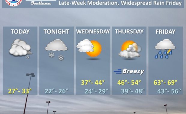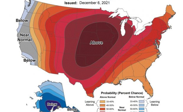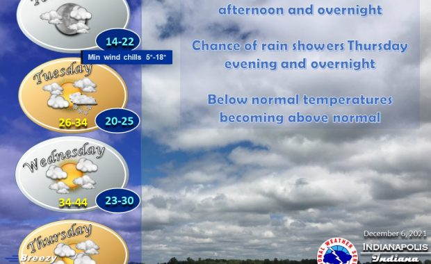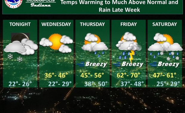
(Via @NWSIndianapolis.) Light snow showers/flurries this eve ending overnight. Temps becoming much above normal thru Fri. Breezy & rain showers/t-storms Thu eve thru Sat night. Best chance of rain Fri PM & overnight. Rain/snow mix possible Sat & Sat night. Highs 36-70°, lows 22-50°. #INwx #nwsind https://t.co/oCkBiydXev My Huge Radar has real-time weather tracking, current […]
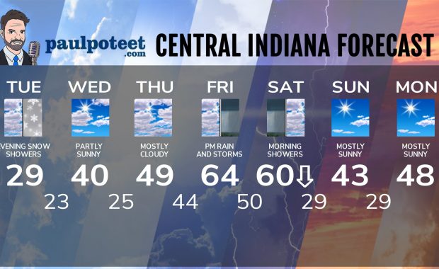
Never miss me! Subscribe for free. My Huge Radar has real-time weather tracking, current temperatures, and severe weather watches and warnings. Get detailed Indiana conditions by clicking here. Click here to see my central Indiana 7-Day Forecast. Follow these links to get my forecasts for Lafayette, Muncie, Hendricks County, and Hamilton County. Need a second opinion? Click here for central Indiana National Weather Service forecasts. (Some charts via WeatherBELL.)