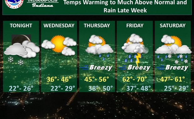
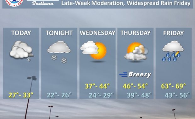
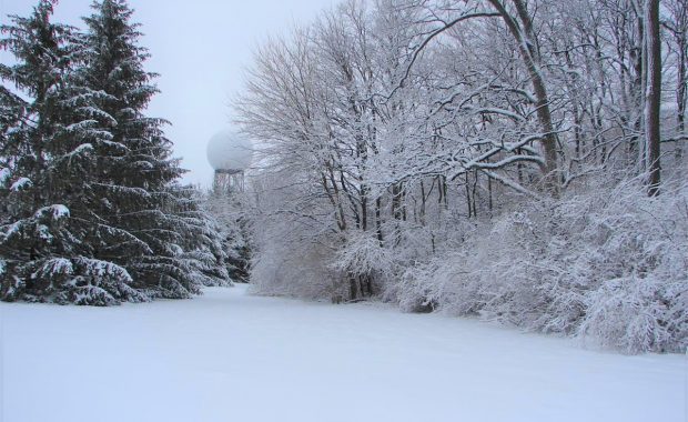
(Via @NWSIndianapolis.) Today’s high of 26F was Indianapolis’ first at 32F or below since a high of 22F back on February 19th amid a 7″ snow pack. Indianapolis’ first sub-freezing day has ranged over 10/29 – 1/5, with the normal date being 11/30. On average 29 days a year are held to 32F or less. […]
Never miss me! Subscribe for free. My Huge Radar has real-time weather tracking, current temperatures, and severe weather watches and warnings. Get detailed Indiana conditions by clicking here. Click here to see my central Indiana 7-Day Forecast. Follow these links to get my forecasts for Lafayette, Muncie, Hendricks County, and Hamilton County. Need a second opinion? Click here for central Indiana National Weather Service forecasts. (Some charts via WeatherBELL.)