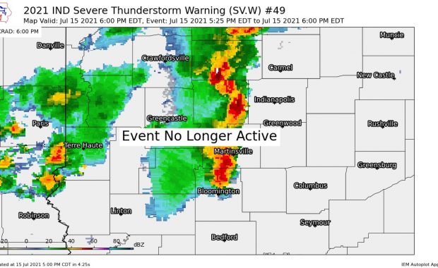
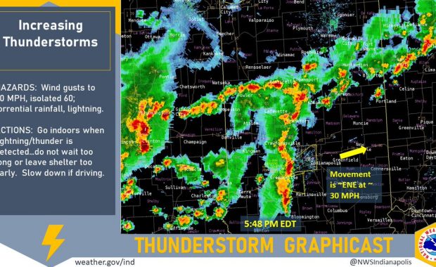
(Via @NWSIndianapolis.) At 8:48 PM EDT scattered t-storms continue across IN & IL, w/ strongest IN storms in Vermillion/Parke & Johnson Co areas. More storms in EC IL headed for Vermillion & NW Vigo counties in IN. Hazards: 50 mph winds, 1/2-inch hail, heavy rain, lightning. #INwx #nwsind https://t.co/QGgexTvcjF My Huge Radar has real-time weather […]
Never miss me! Subscribe for free. My Huge Radar has real-time weather tracking, current temperatures, and severe weather watches and warnings. Get detailed Indiana conditions by clicking here. Click here to see my central Indiana 7-Day Forecast. Follow these links to get my forecasts for Lafayette, Muncie, Hendricks County, and Hamilton County. Need a second opinion? Click here for central Indiana National Weather Service forecasts. (Some charts via WeatherBELL.)