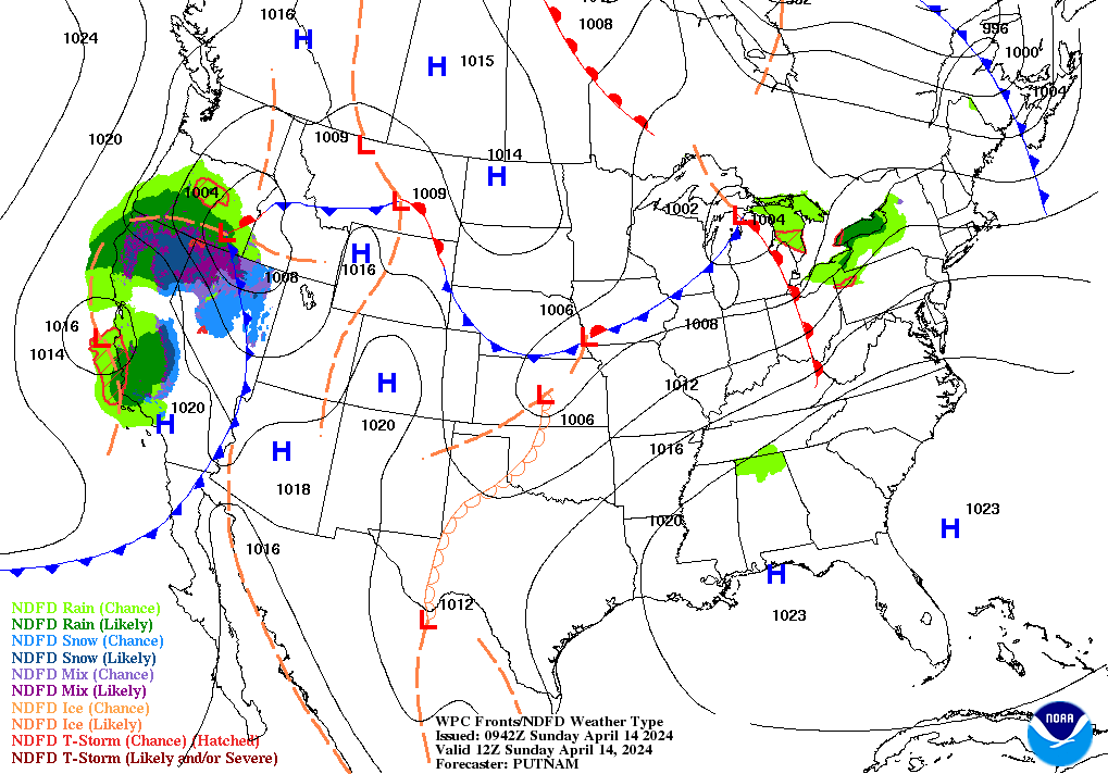
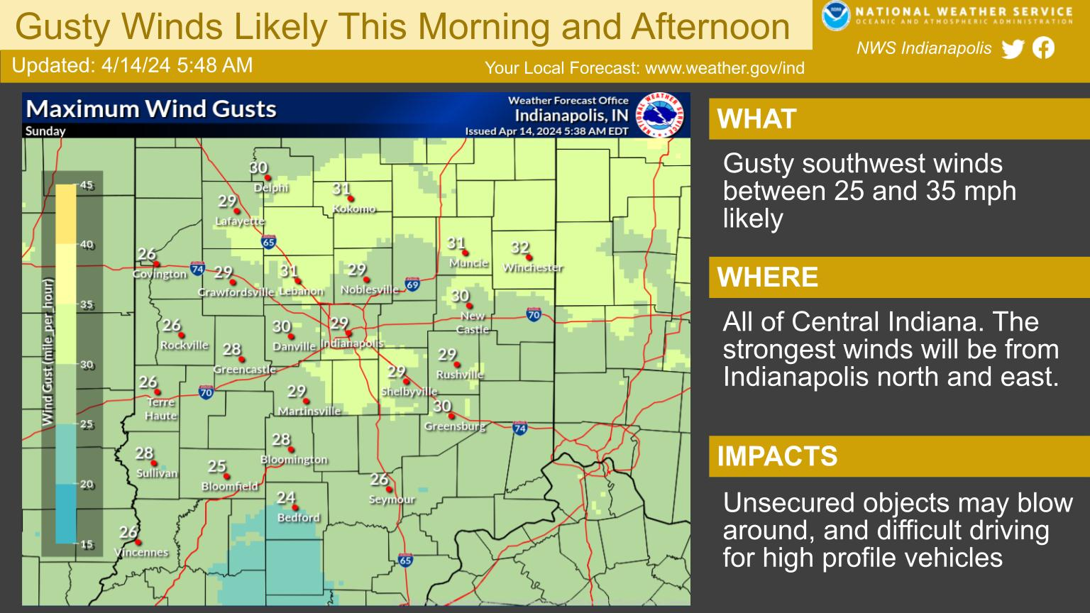
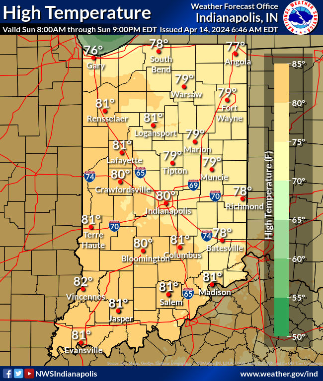
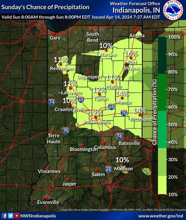
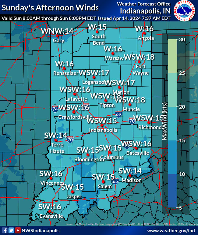
Warm southwest winds will gust to near 35mph at times. The winds should peak in the late morning to early afternoon hours, and help temperatures rise into the upper 70s to near 80. A few showers are possible later tonight from around Muncie eastward as a cold front passes through.
The next threat for strong/severe thunderstorms begins on Tuesday as a western trough of low pressure edges eastward. Convection may occur in two rounds, with round one occurring Tuesday evening/night as activity outpaces the system`s cold front. The second round possibly occurring Wednesday along the cold front itself as it passes through.
Never miss me! Subscribe for free. My Huge Radar has real-time weather tracking, current temperatures, and severe weather watches and warnings. Get detailed Indiana conditions by clicking here. Click here to see my central Indiana 7-Day Forecast. Follow these links to get my forecasts for Lafayette, Muncie, Hendricks County, and Hamilton County. Need a second opinion? Click here for central Indiana National Weather Service forecasts. (Some charts via WeatherBELL.)


Leave a Reply