The biggest snow of the season threatens central Indiana Saturday night and Sunday morning. As much as 8 inches of snow could fall in parts of the state, mixed with rain before and afternoon. The heavy, wet snow will be most intense Saturday evening and overnight into Sunday. Here’s a map of snow totals.

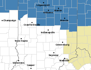
The Weather Service has issued a Winter Storm Watch for areas north of Indiana that are most likely to hit the 6 inch mark.
Never miss me! Subscribe for free. My Huge Radar has real-time weather tracking, current temperatures, and severe weather watches and warnings. Get detailed Indiana conditions by clicking here. Click here to see my central Indiana 7-Day Forecast. Follow these links to get my forecasts for Lafayette, Muncie, Hendricks County, and Hamilton County. Need a second opinion? Click here for central Indiana National Weather Service forecasts. (Some charts via WeatherBELL.)
INDY SEVEN DAY FORECAST
Friday: Mostly sunny. High 34.
Friday Night: Partly cloudy. Low 23.
Saturday: Clouds increasing. Rain and snow in the afternoon. High 38.
Saturday Night: Snow, heavy at times. Snow totals of 3-6 inches. Low 33.
Sunday: Rain and snow. High 38.
Sunday Night: Snow showers. Low 26.
Monday: Cloudy, with snow showers. High 31.
Monday Night: Partly cloudy. Low 21.
Tuesday: Partly sunny. High 33.
Tuesday Night: Partly cloudy. Low 21.
Wednesday: Partly sunny morning. Mostly cloudy afternoon. High 39.
Wednesday Night: Mostly cloudy. Low 33.
Thursday: Showers likely. High 46.

Never miss me! Subscribe for free. My Huge Radar has real-time weather tracking, current temperatures, and severe weather watches and warnings. Get detailed Indiana conditions by clicking here. Click here to see my central Indiana 7-Day Forecast. Follow these links to get my forecasts for Lafayette, Muncie, Hendricks County, and Hamilton County. Need a second opinion? Click here for central Indiana National Weather Service forecasts. (Some charts via WeatherBELL.)


Keep it over there!