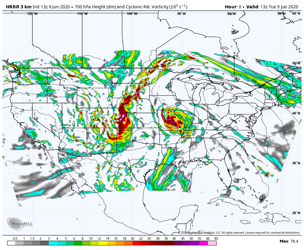
Clouds, humidity, and the breeze are all increasing today with the arrival of the remnants of Cristobal. As the circulation lifts north through the mid Mississippi Valley it will stir the weather pot here. The National Weather Service Indianapolis says Cristobal will be the first June remnant tropical system to impact central Indiana since Arlene in 2005. Arlene brought the heavier rain swath across the forecast area from the south while producing two tornadoes over central Indiana With this system: the heavier swath of rain will remain to our west. But the forecast track will place the forecast area on the right side of the system. That is squarely in the zone for greatest risk for severe weather, including the possibility of a few tornadoes. My Huge Radar shows you the location of rain, thunderstorms, and warnings, plus Storm Prediction Center risk levels. For most of the area today expect a risk level of 2 (out of 5.)
Never miss me! Subscribe for free. My Huge Radar has real-time weather tracking, current temperatures, and severe weather watches and warnings. Get detailed Indiana conditions by clicking here. Click here to see my central Indiana 7-Day Forecast. Follow these links to get my forecasts for Lafayette, Muncie, Hendricks County, and Hamilton County. Need a second opinion? Click here for central Indiana National Weather Service forecasts. (Some charts via WeatherBELL.)


Indiana’s Weather For Tuesday:
Clouds, humidity, and the breeze are all increasing today with the arrival of the… https://t.co/v1VqbK5dF1
RT @PaulPoteet: Indiana’s Weather For Tuesday:
Clouds, humidity, and the breeze are all increasing today with the… https://t.co/ZUTMglGzpb