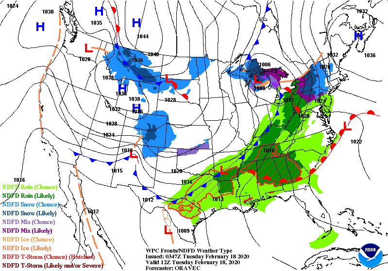
Cloudy and cooler behind a cold front moving off to the east of Indiana Tuesday morning. Amounts south of I-70 were generally under a tenth of an inch. Rainfall was closer to a half-inch around Lafayette, and a third of an inch around Muncie.
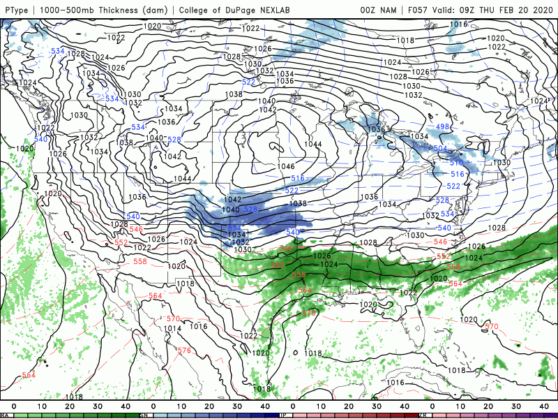
High pressure is large and in charge for the rest of the work week. Enjoy!
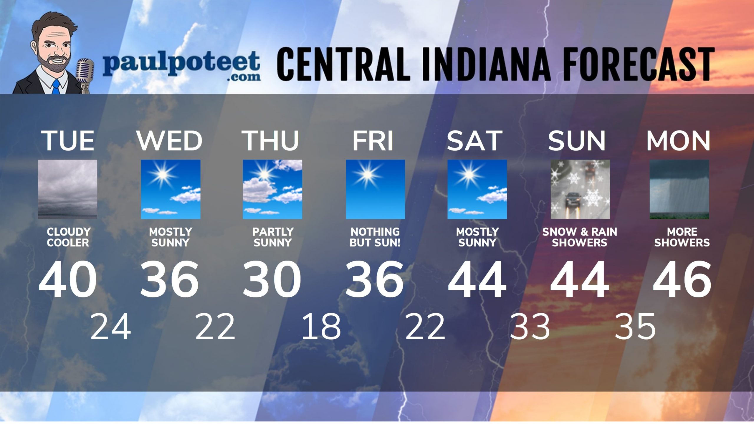
INDY SEVEN DAY FORECAST
Today: Cloudy, with temps falling to around 40.
Tonight: Partly cloudy. Low 24.
Wednesday: Mostly sunny. High 36.
Wednesday Night: Partly to mostly cloudy. Low 22.
Thursday: Partly, then mostly sunny. High 30.
Thursday Night: Clear. Low 18.
Friday: Sunny. High 36.
Friday Night: Mostly clear. Low 22.
Saturday: Mostly sunny. High 44.
Saturday Night: Partly cloudy. Low 33.
Sunday: Mostly cloudy, with some snow and rain showers. High 44.
Sunday Night: Snow and rain showers. Low 35.
Monday: Scattered showers. High 46.
Never miss me! Subscribe for free. My Huge Radar has real-time weather tracking, current temperatures, and severe weather watches and warnings. Get detailed Indiana conditions by clicking here. Click here to see my central Indiana 7-Day Forecast. Follow these links to get my forecasts for Lafayette, Muncie, Hendricks County, and Hamilton County. Need a second opinion? Click here for central Indiana National Weather Service forecasts. (Some charts via WeatherBELL.)


Indiana’s Weather For Tuesday: Cloudy and cooler behind a cold front moving off to the east of Indiana Tuesday morn… https://t.co/wBWNY3F4S3
RT @PaulPoteet: Indiana’s Weather For Tuesday: Cloudy and cooler behind a cold front moving off to the east of Indiana Tuesday morning. Amo…
RT @PaulPoteet: Indiana’s Weather For Tuesday: Cloudy and cooler behind a cold front moving off to the east of Indiana Tuesday morning. Amo…