Stunning Saturday and Sunday across central Indiana. Indy’s high of 66 on Sunday was the warmest since 67 degrees on February 3rd.
Other Sunday highs:
66 Bloomington, Shelbyville
65 Lafayette
64 Muncie, Terre Haute
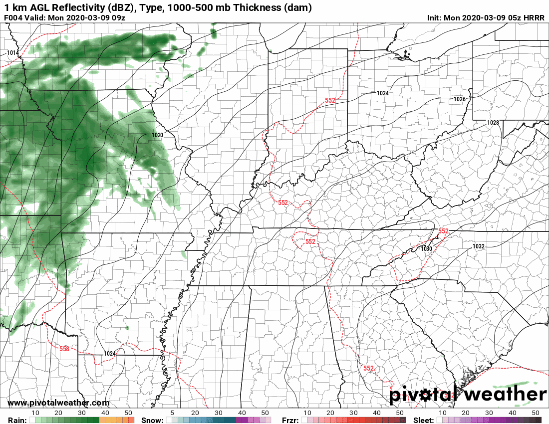
Showers will move in from the west during afternoon drive around Lafayette, and after 6pm for most of central Indiana.
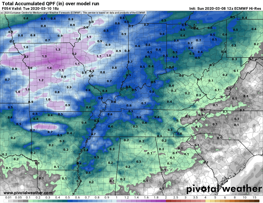
About a half-inch of precipitation looks likely from the Monday evening+Tuesday morning system.
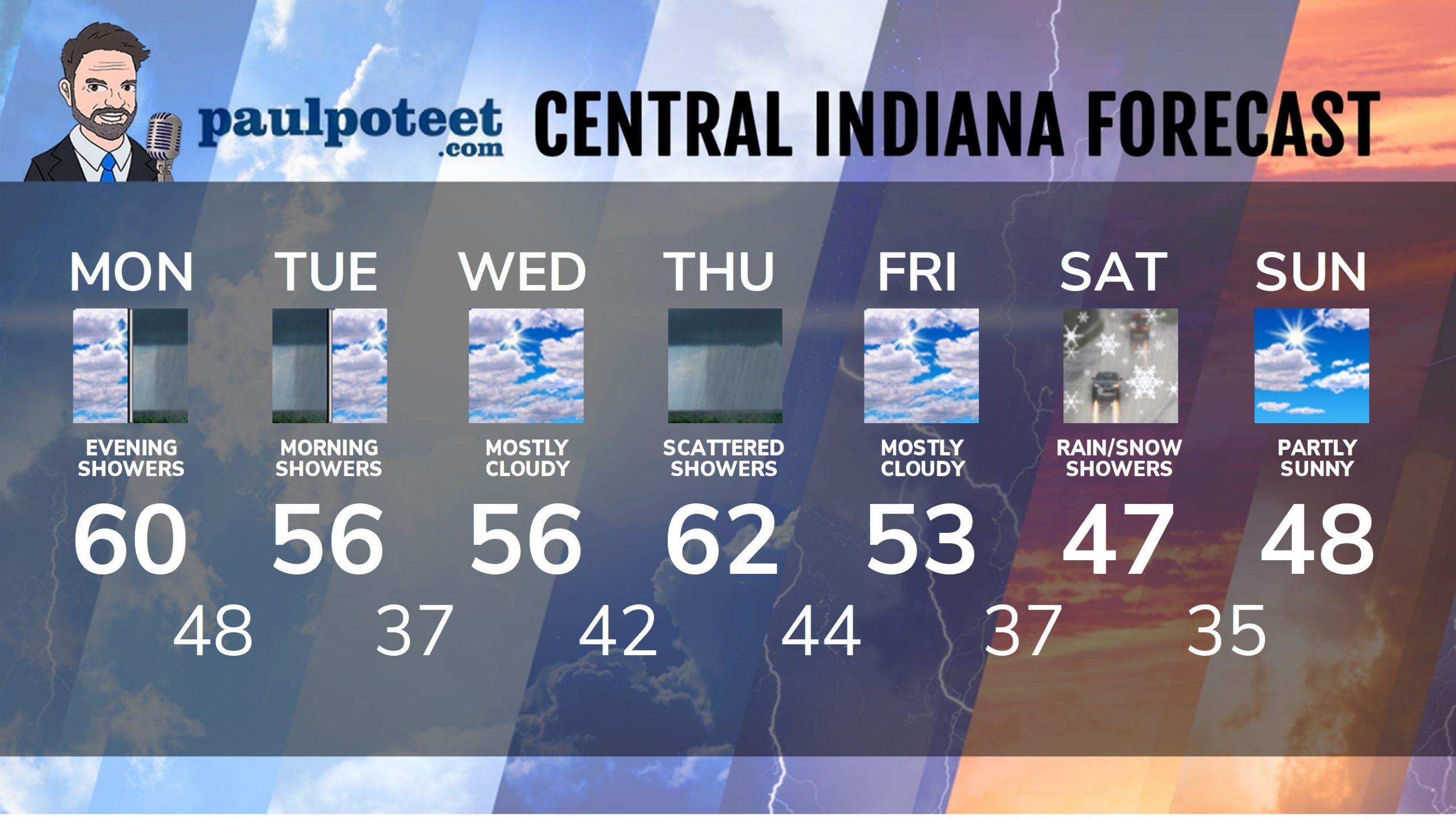
INDY SEVEN DAY FORECAST
Today: Mostly cloudy. High 60.
Tonight: Showers move in. Low 48.
Tuesday: Morning showers and storms. High 56.
Tuesday Night: Mostly cloudy. Low 37.
Wednesday: Mostly cloudy. High 56.
Wednesday Night: Partly cloudy. Low 42.
Thursday: Scattered showers. High 62.
Thursday Night: Scattered showers. Low 44.
Friday: Mostly cloudy. High 53.
Friday Night: Mostly cloudy. Showers after midnight. Low 37.
Saturday: Scattered showers. Snow could mix in. High 47.
Saturday Night: Snow and/or rain showers. Low 35.
Sunday: Partly sunny. High 48.
Never miss me! Subscribe for free. My Huge Radar has real-time weather tracking, current temperatures, and severe weather watches and warnings. Get detailed Indiana conditions by clicking here. Click here to see my central Indiana 7-Day Forecast. Follow these links to get my forecasts for Lafayette, Muncie, Hendricks County, and Hamilton County. Need a second opinion? Click here for central Indiana National Weather Service forecasts. (Some charts via WeatherBELL.)


