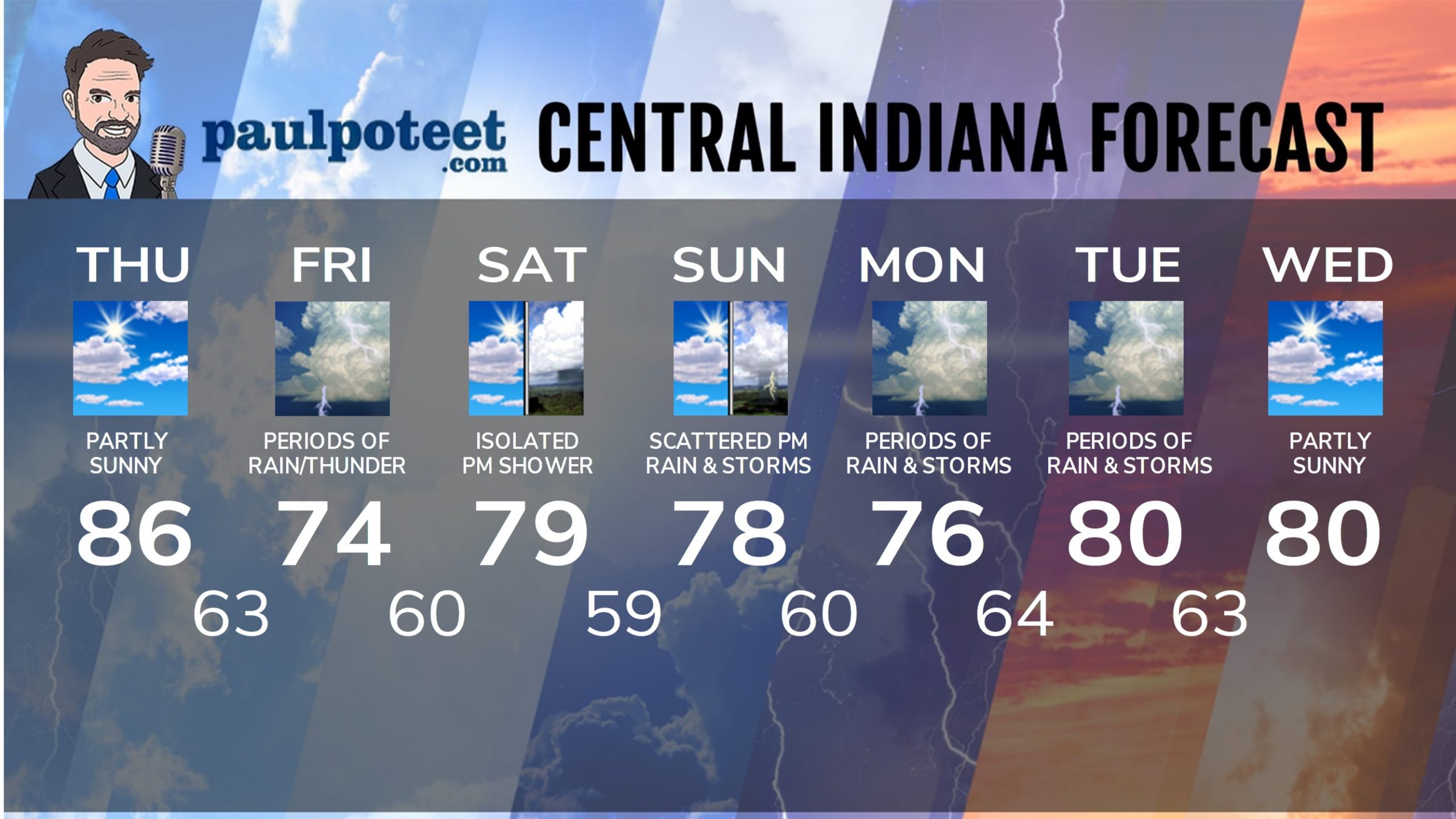
The heat is on! If we hit my forecast it will tie a record today from the late 1950s. Rain likely tomorrow, but unlikely to mess with the runners at the Mini this weekend.

INDY SEVEN DAY FORECAST
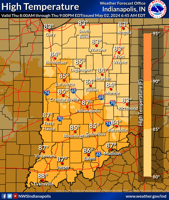
Today: Mostly to partly sunny. Isolated shower or storm possible from around 5pm until sunset. High 86.
Tonight: Partly cloudy evening. Clouds increase overnight. Low 63.
Friday. Widespread showers and some thunder. High 74.
Friday Night: Scattered showers. Thunder possible. Showers end by midnight. Low 60.
Saturday: Partly sunny. Isolated shower possible in the afternoon. High 79.
Saturday Night: Partly cloudy. Spotty showers possible late evening and overnight. Low 59.
Sunday: Partly sunny. Scattered afternoon showers and storms. High 78.
Sunday Night: Scattered showers and storms. Low 60.
Monday: Partly to mostly cloudy. Widespread showers and storms. High 76.
Monday Night: Scattered showers and storms. Low 64.
Tuesday: Partly sunny. Widespread showers and storms. High 80.
Tuesday Night: Scattered showers and storms. Low 63.
Wednesday: Partly sunny. High 80.


Never miss me! Subscribe for free. My Huge Radar has real-time weather tracking, current temperatures, and severe weather watches and warnings. Get detailed Indiana conditions by clicking here. Click here to see my central Indiana 7-Day Forecast. Follow these links to get my forecasts for Lafayette, Muncie, Hendricks County, and Hamilton County. Need a second opinion? Click here for central Indiana National Weather Service forecasts. (Some charts via WeatherBELL.)


