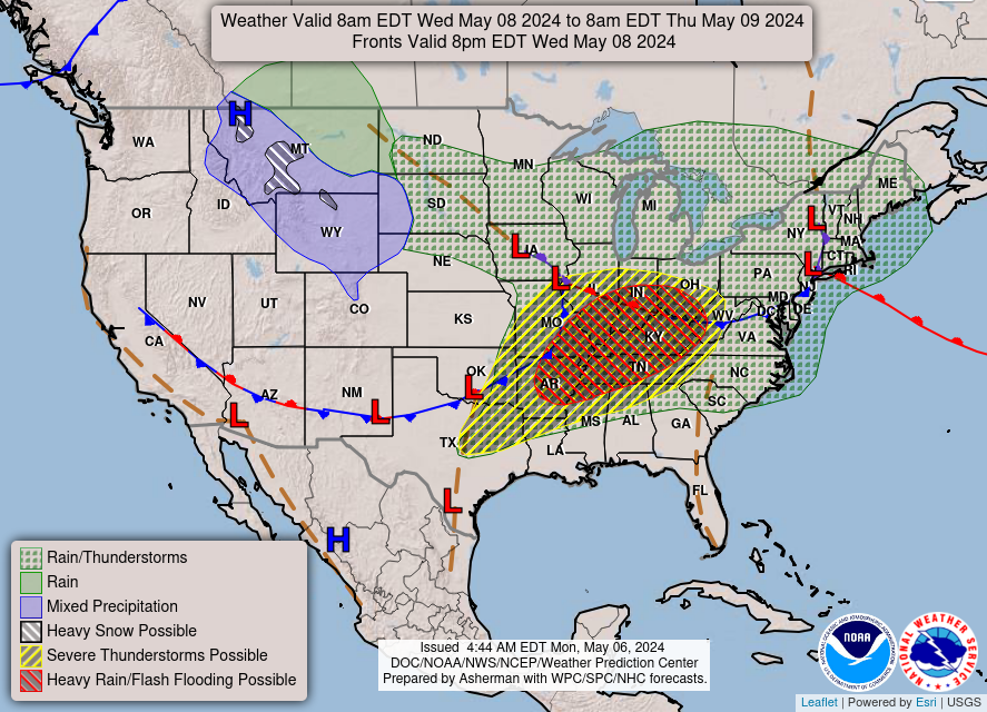
…Scattered showers and thunderstorms push into the central/southern
Appalachians and Southeast today…
…Wet snow and wintry mix over the central High Plains on Saturday as
heavy rain threat develops over parts of Texas and the lower Mississippi
Valley…
…Unseasonably warm across much of the South and Southwest as below
average temperatures expand throughout the Great Plains and Midwest…
The main weather feature and focus for showers and thunderstorms through
this weekend will be a cold front progressing across the East and stalling
between the Southeast and southern Texas. Unsettled weather will start the
short range forecasting period located across the central/southern
Appalachians and Southeast. These locations will have the greatest chances
for isolated thunderstorms to become strong enough to produce locally
damaging wind gusts and hail. Elsewhere, light showers are expected to
extend into the Northeast through tonight.
Precipitation is also expected to become more widespread and increase in
intensity throughout the central High Plains and Colorado Front Range by
tonight. A mix of rain and snow is likely, with heavy snow (greater than 4
inches) most likely along the Front Range and lesser amounts into the
foothills on eastward into the High Plains. Snow chances should gradually
subside by Saturday evening, but chilly temperatures will remain across
much of the Great Plains on Sunday.
Meanwhile, instances of heavy rain and scattered flash flooding are
possible on Saturday across parts of the southern Plains and lower
Mississippi Valley as numerous showers and embedded thunderstorms develop
to the north of a stationary front. Repeating rounds of intense rainfall
and areas with wet antecedent ground conditions have prompted a Slight
Risk (level 2/4) of Excessive Rainfall between central Texas and the
ArkLaMiss region. Fortunately, this system is forecast to quickly exit to
the east on Sunday and shift shower and thunderstorm chances to the
Southeast, limiting the flooding threat somewhat.
A quick-moving system will also swing light precipiation into the
Northwest this weekend, which will continue to promote above average
temperatures over the Southwest. Spring warmth will also be found
throughout much of the South today and Saturday for places avoiding
afternoon rain. For a majority of the Nation; however, well below average
temperatures will remain locked in place this weekend underneath high
pressure streaming in from Canada. Highs are anticipated to range from the
40s in the northern Plains and Upper Midwest to the 60s from the
Mid-Atlantic to the Tennessee Valley. Lows into the 30s could produce
frost and/or freeze conditions in the Midwest as well.
Snell
Graphics available at
https://www.wpc.ncep.noaa.gov/basicwx/basicwx_ndfd.php