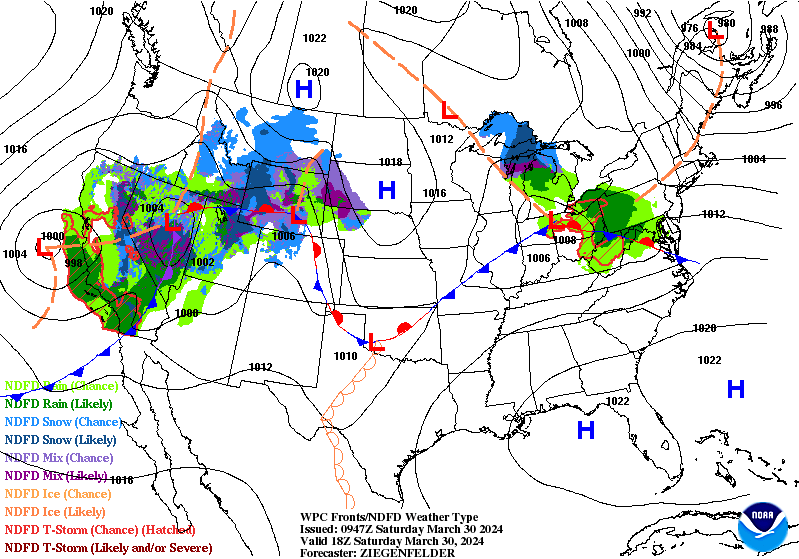
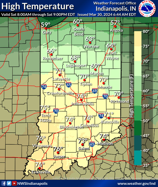
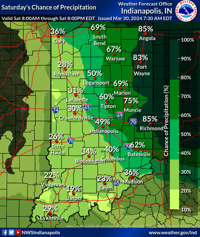
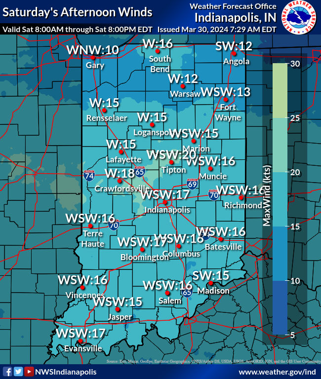
Showers and storms early to mid-morning Saturday give way to some sunshine and unseasonably warm temps this afternoon! Those warmer than normal numbers continue through Tuesday, but a big dipper is coming Wednesday. Wind will be gusty today, but no severe weather is expected. As a front pushes southward tonight, even isolated shower and storm chances will end.
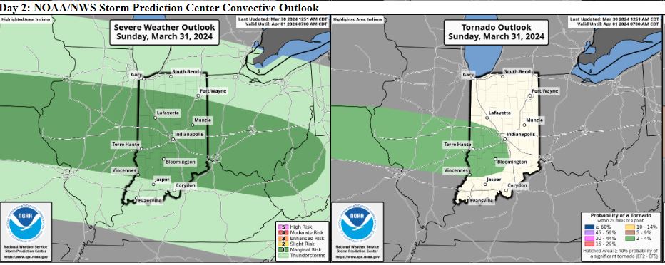
The front will then meander up and down around Indiana for the next few days, helping to focus showers and storms. The threat on Easter Sunday will be highest in the afternoon and evening. A few storms could produce large hail, and even an isolated tornado in parts of western Indiana.
More rain and storms at any time Monday. That’s our best chance for heavy rain, and severe weather of all types across the state. as a deepening low pressure system associated with an upper shortwave moves across the region.
From @NWSIndianapolis: Strong deep-layer shear over a favorable thermodynamic environment with greater overall forcing from the approaching surface low suggests more widespread organized convection is possible. Confidence continues to increase, but uncertainties remain regarding exact details due to differences between guidance. Multiple rounds of convection in a moist environment also leads to hydrologic concerns, particularly with the system early next week. Strong forcing overrunning the west- east oriented stalled front suggest the potential for training efficient rain producing storms Monday into early Tuesday. Models trends will continue to be monitored closely due to the potential for a more significant severe weather threat and flooding. Precipitation chances linger into Wednesday as moisture wraps around the departing surface low. Expect dry conditions to return sometime Wednesday night into Thursday once surface high pressure builds in.
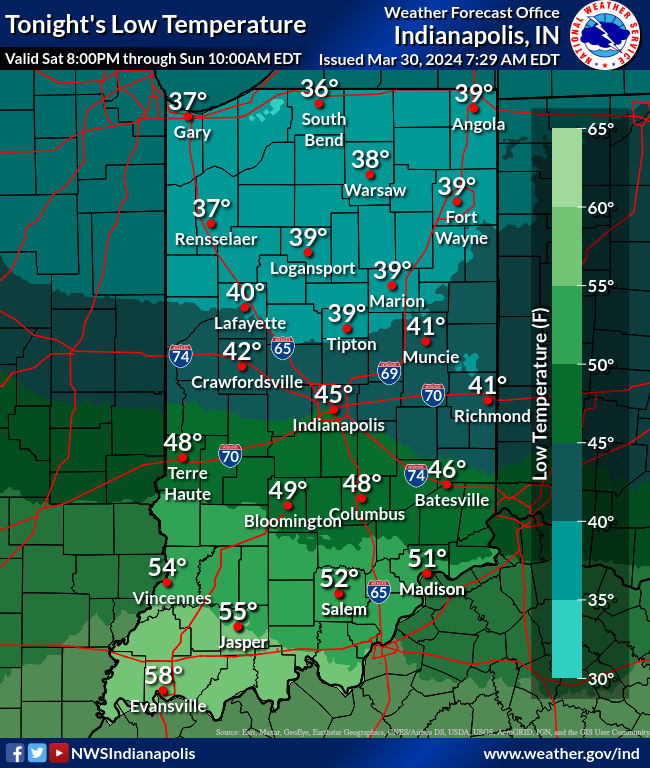
CHARTS FOR TODAY/TONIGHT
Never miss me! Subscribe for free. My Huge Radar has real-time weather tracking, current temperatures, and severe weather watches and warnings. Get detailed Indiana conditions by clicking here. Click here to see my central Indiana 7-Day Forecast. Follow these links to get my forecasts for Lafayette, Muncie, Hendricks County, and Hamilton County. Need a second opinion? Click here for central Indiana National Weather Service forecasts. (Some charts via WeatherBELL.)


