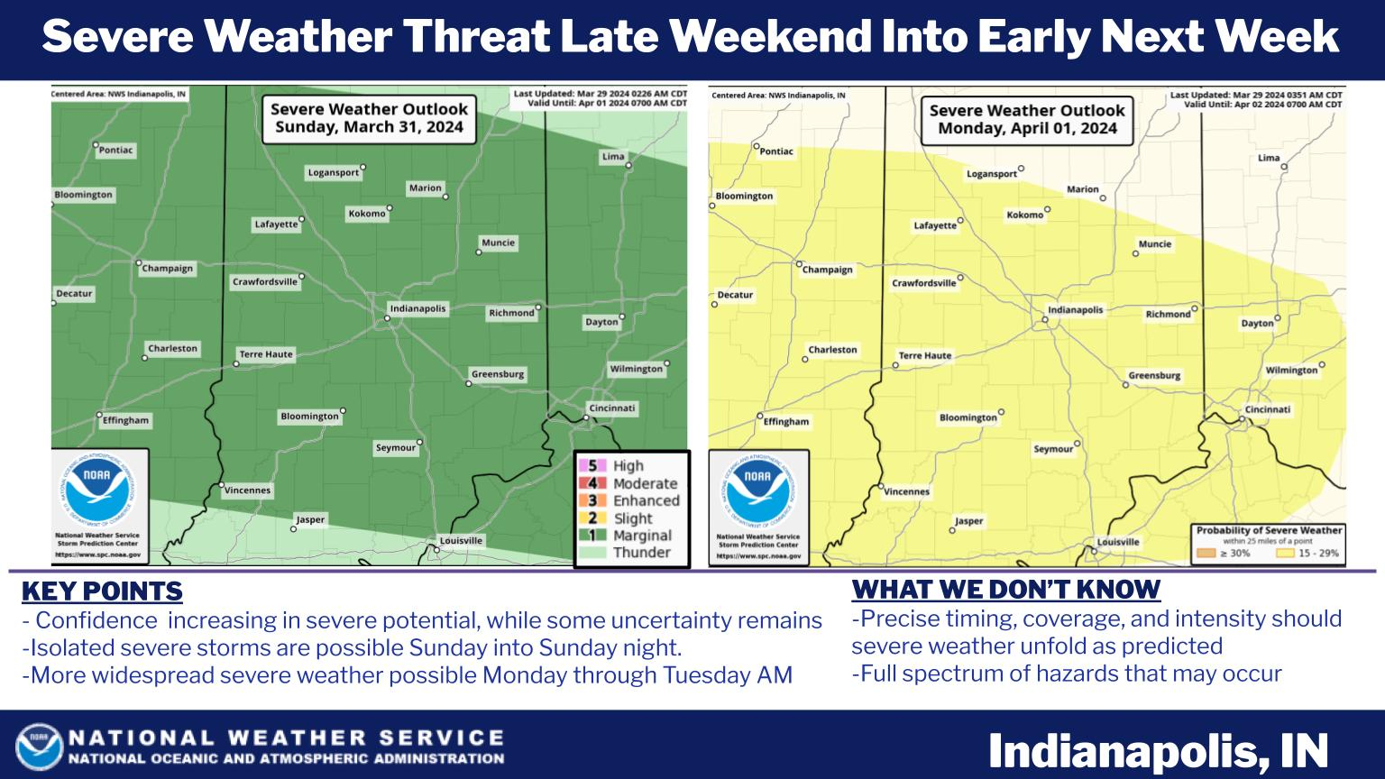
Tonight will be the first round in a series of wet days with widespread showers and a few rumbles of thunder across northern Indiana. Coverage will be scattered closer to I-70 and points to the south with no severe weather expected at this time.


Never miss me! Subscribe for free. My Huge Radar has real-time weather tracking, current temperatures, and severe weather watches and warnings. Get detailed Indiana conditions by clicking here. Click here to see my central Indiana 7-Day Forecast. Follow these links to get my forecasts for Lafayette, Muncie, Hendricks County, and Hamilton County. Need a second opinion? Click here for central Indiana National Weather Service forecasts. (Some charts via WeatherBELL.)


