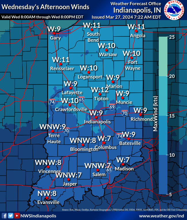
No severe weather in the state yesterday, but wind gusted to 47 mph in Indy, Muncie, and Terre Haute. The peak gust was 45 mph in Lafayette. Still gusting to around 20 mph today, but much quieter, and that goes for radar also.
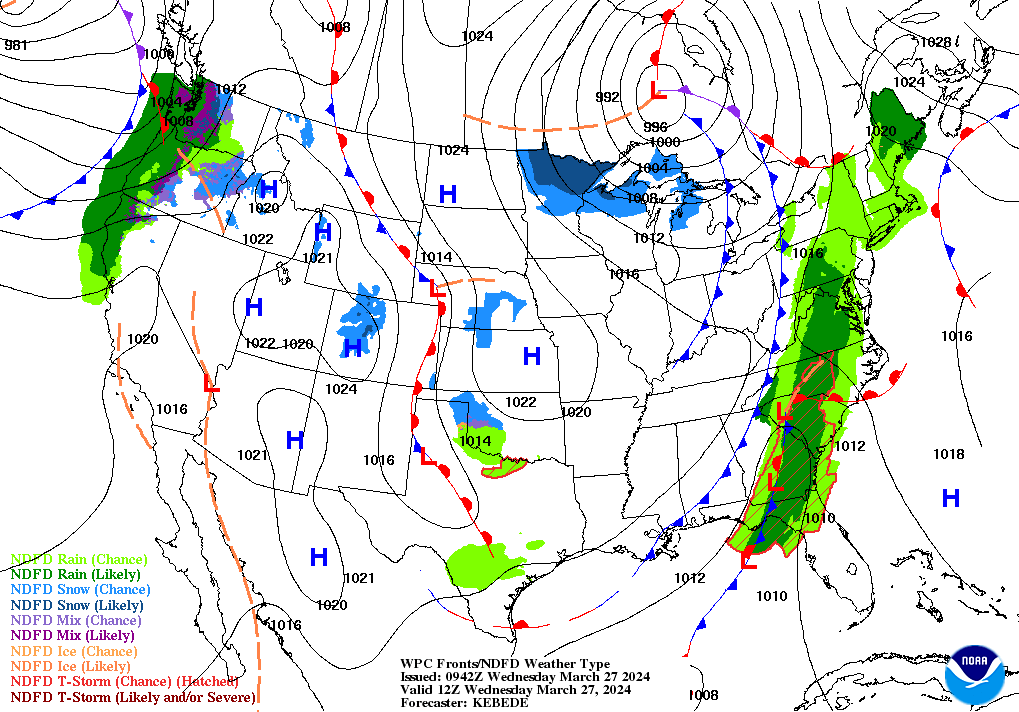
Strong high pressure is in place stretching from the Northern Plains to Easter Texas. Deep low pressure was found north of the Great Lakes. This was resulting in a cool northwest flow across Central Indiana. Satellite shows an extensive area of cloud cover amid cold air rushing in between the two systems. Clouds will decrease this afternoon.
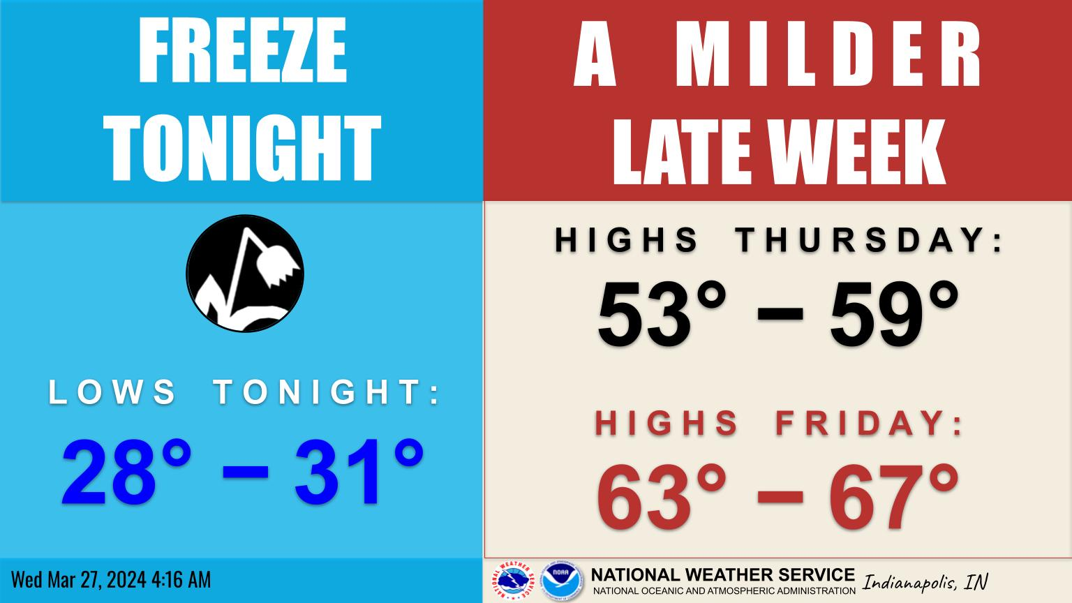
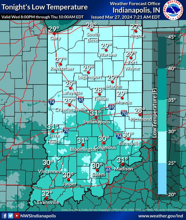
Expect a hard freeze tonight.
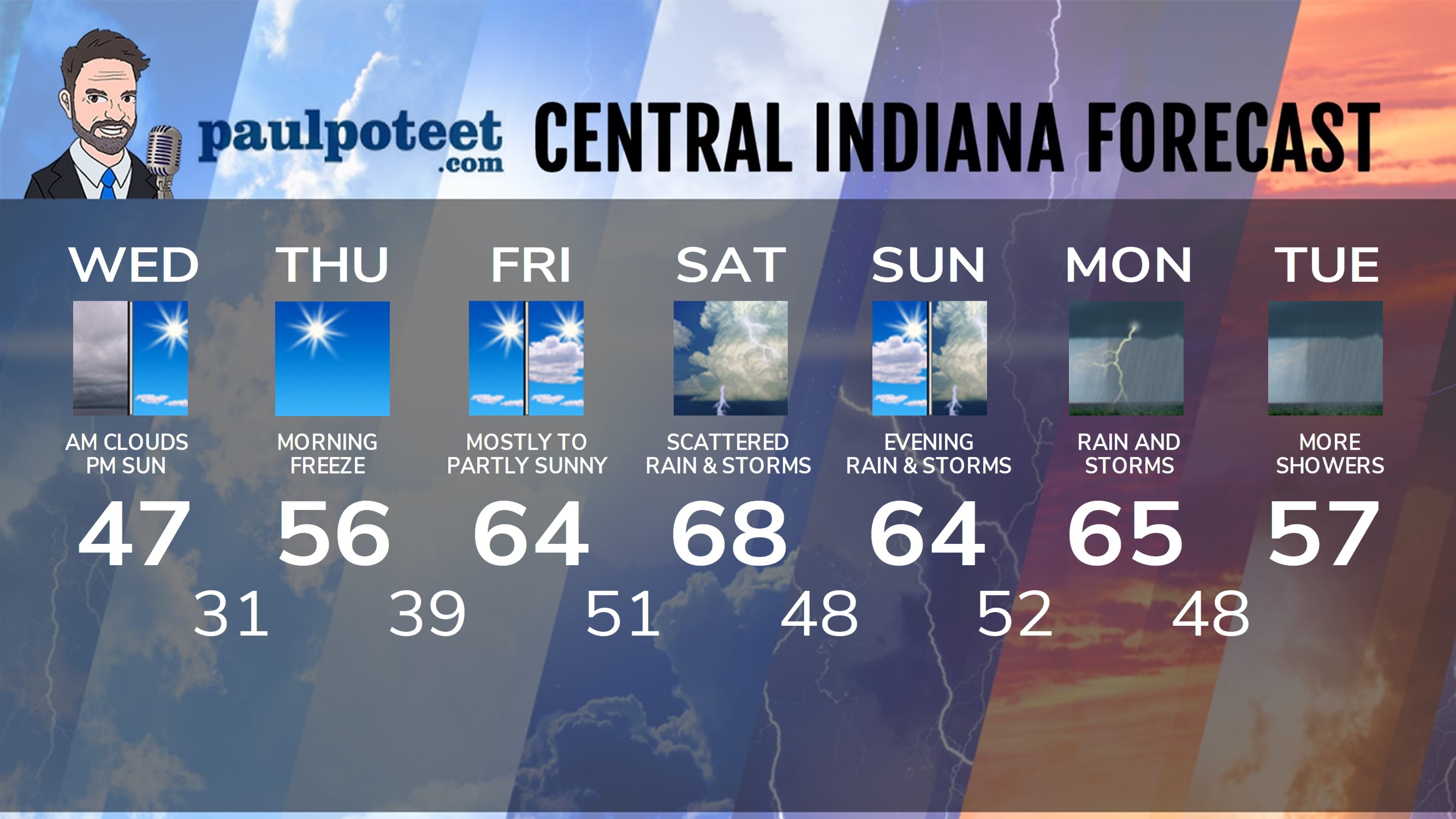
INDY SEVEN DAY FORECAST
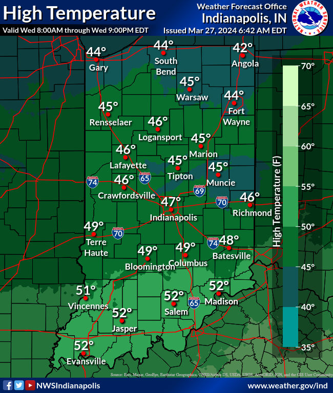
Today: Morning clouds and afternoon clearing. Breezy and colder, although not as windy as yesterday. High 47.
Tonight: Clear sky. Low 31.
Thursday: Sunny. High 56.
Thursday Night: Mostly clear. Low 39.
Friday: Mostly sunny morning. Partly sunny afternoon. High 64.
Friday Night: Mostly cloudy. Scattered showers and storms after midnight. Low 51.
Saturday: Partly to mostly cloudy. Scattered showers and storms, mainly in the morning and midday. High 68.
Saturday Night: Partly to mostly cloudy. Low 48.
Sunday: Partly to mostly cloudy. High 64.
Sunday Night: Scattered showers and storms. Low 52.
Monday: Scattered showers and storms. Heavy rain and strong storms possible. High 65.
Monday Night: Showers and storms. Low 48.
Tuesday: More showers. High 57.
Never miss me! Subscribe for free. My Huge Radar has real-time weather tracking, current temperatures, and severe weather watches and warnings. Get detailed Indiana conditions by clicking here. Click here to see my central Indiana 7-Day Forecast. Follow these links to get my forecasts for Lafayette, Muncie, Hendricks County, and Hamilton County. Need a second opinion? Click here for central Indiana National Weather Service forecasts. (Some charts via WeatherBELL.)


