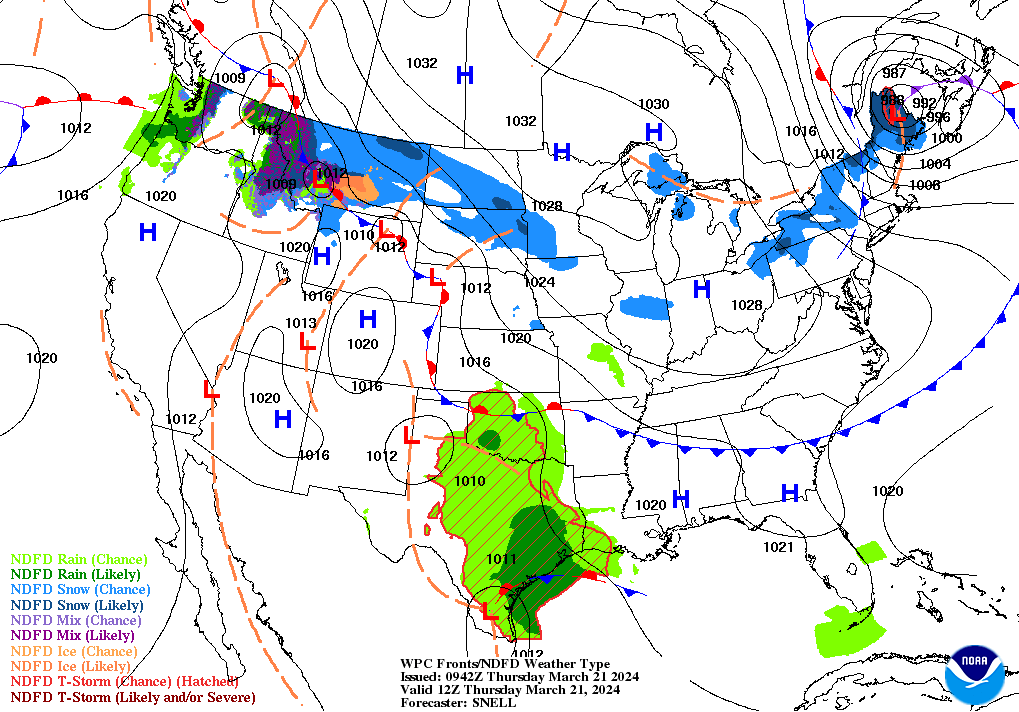
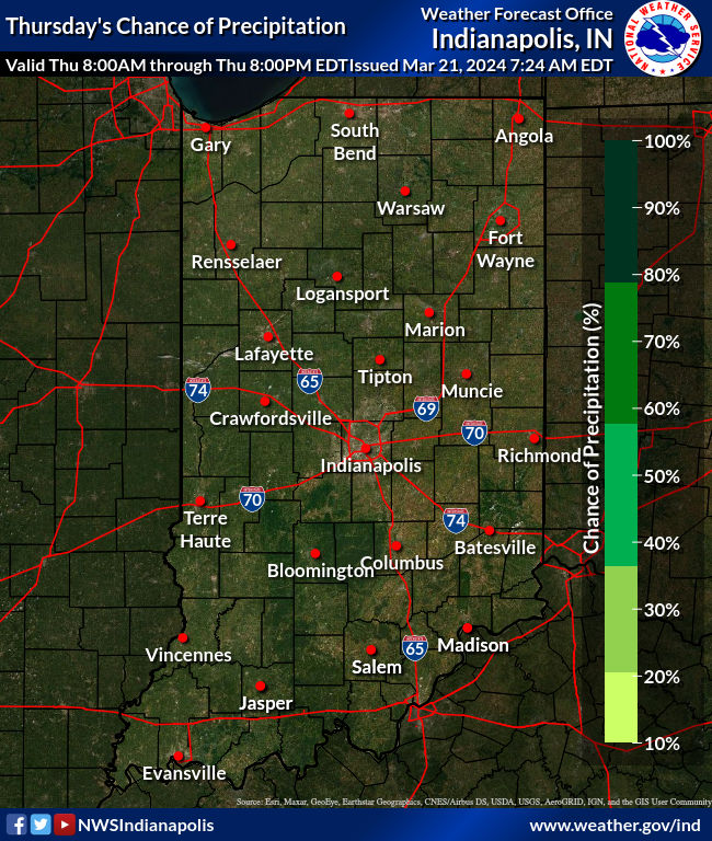
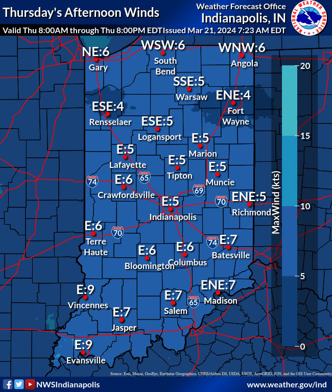
The wind is your friend again today, as surface high pressure sinks south eastward across the Southern Great Lakes region and the sky clears during the afternoon. Light rain is still likely Friday evening, and one more hard freeze is coming Sunday morning.
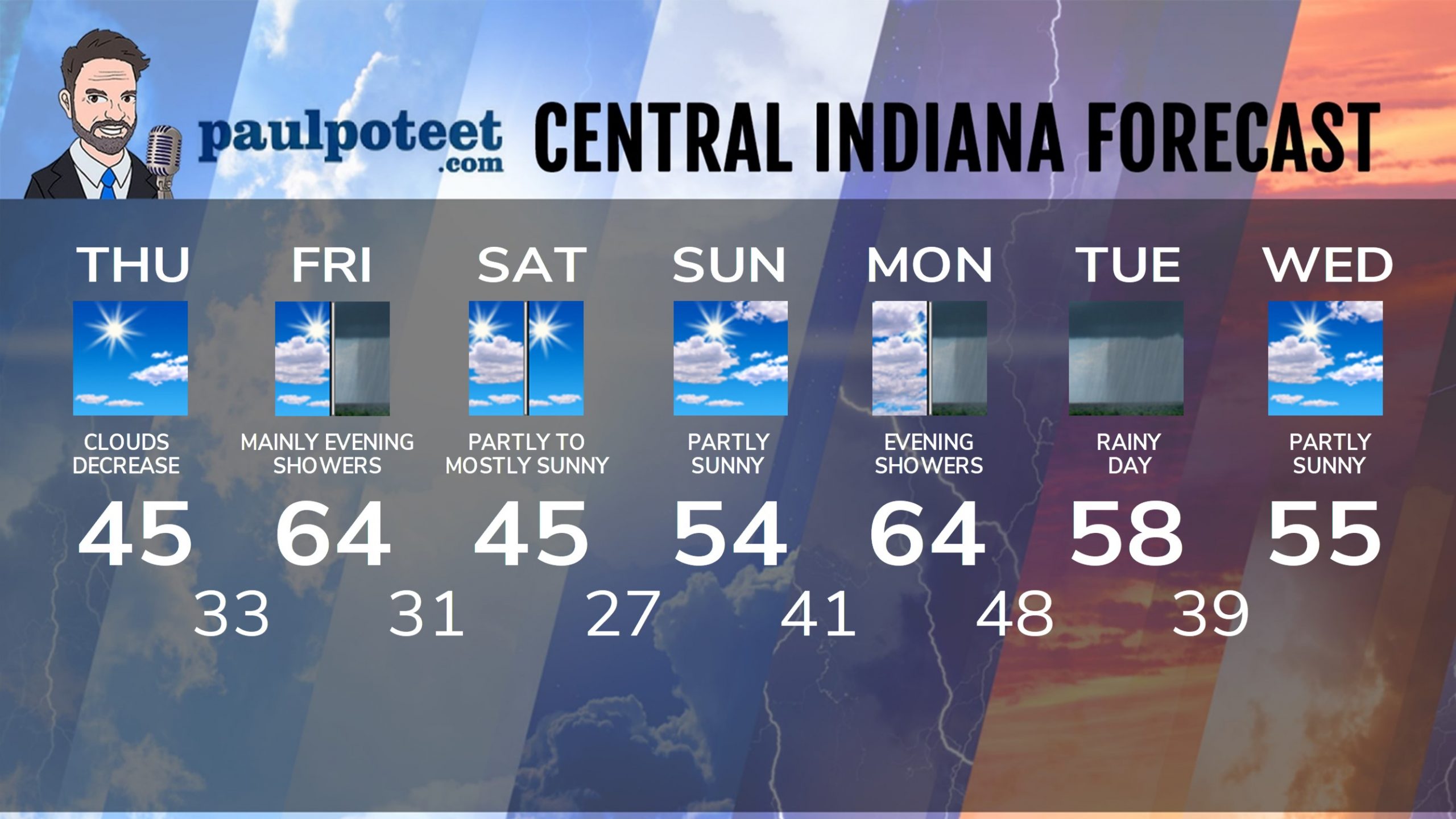
INDY SEVEN DAY FORECAST
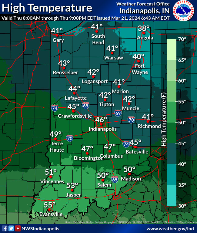
Today: Partly to mostly sunny. Not as windy. Morning chills in the upper teens and 20s. High 45.
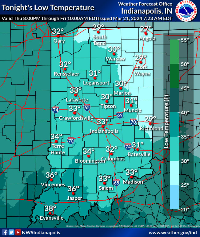
Tonight: Mostly clear. Low 33.
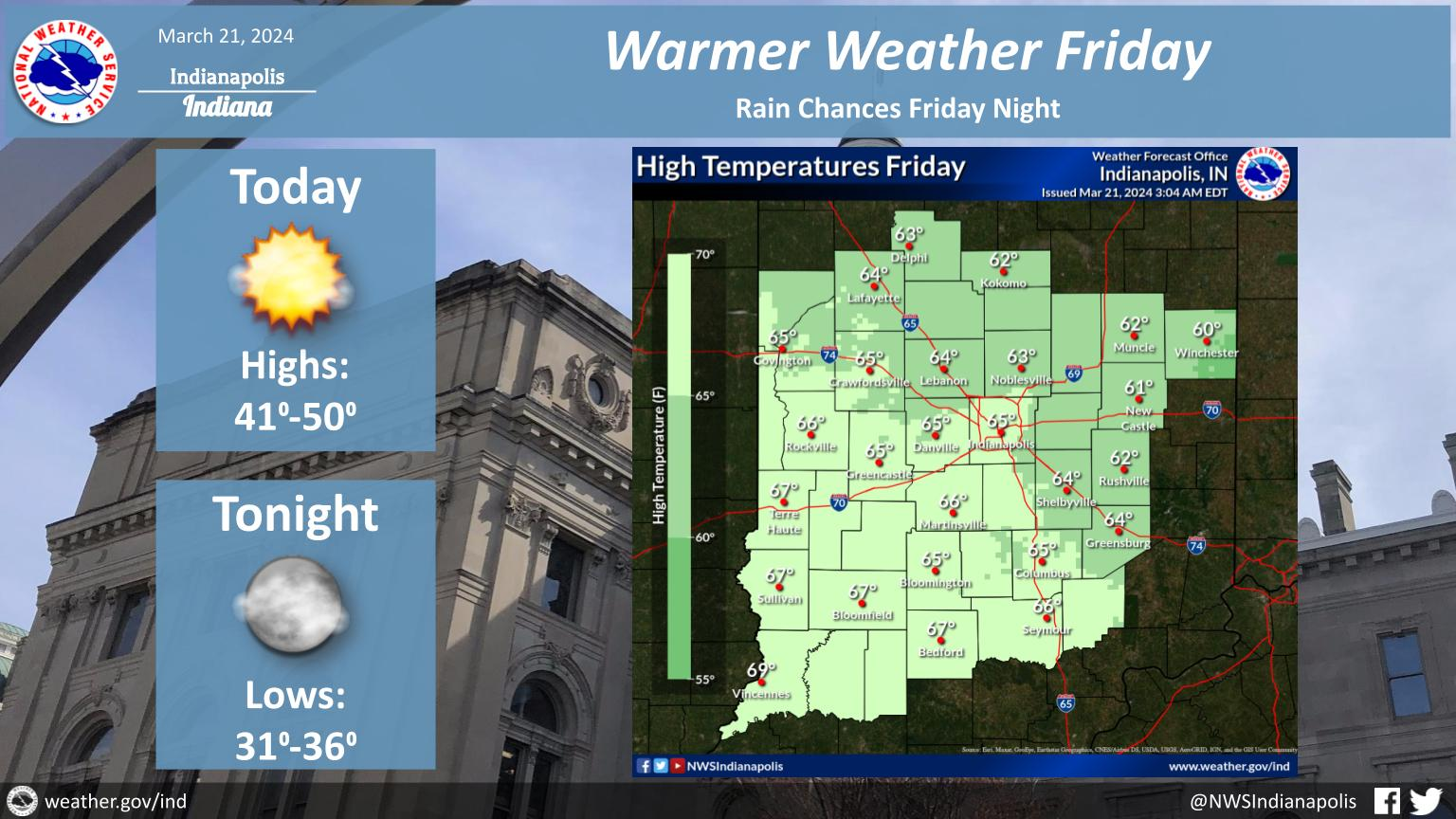
Friday: Sunny start. Spotty light showers possible. High 64.
Friday Night: Scattered light showers. Low 31.
Saturday: Partly cloudy morning. Mostly sunny afternoon. Wind gusts to 30 mph. High 45.
Saturday Night: Mostly clear. Low 27.
Sunday: Partly sunny. High 54.
Sunday Night: Partly cloudy. Low 41.
Monday: Mostly cloudy. Breezes to 35 mph. High 64.
Monday Night: Showers, and breezy. Low 48.
Tuesday: More rain. Gusts to 35 mph. High 58.
Tuesday Night: Scattered showers. Low 39.
Wednesday: Partly sunny. High 55.
Never miss me! Subscribe for free. My Huge Radar has real-time weather tracking, current temperatures, and severe weather watches and warnings. Get detailed Indiana conditions by clicking here. Click here to see my central Indiana 7-Day Forecast. Follow these links to get my forecasts for Lafayette, Muncie, Hendricks County, and Hamilton County. Need a second opinion? Click here for central Indiana National Weather Service forecasts. (Some charts via WeatherBELL.)


