The annual Statewide Tornado Test Drill happens today at 10:15am, so don’t be surprised by sirens!
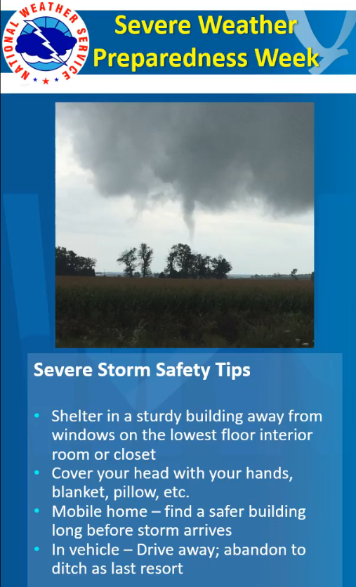
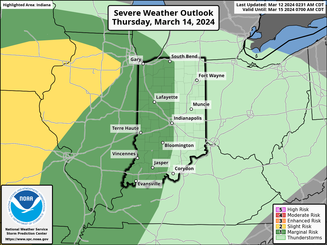
The real thing is a threat on Thursday, with a level one (of five) severe risk already in place for part of the state.
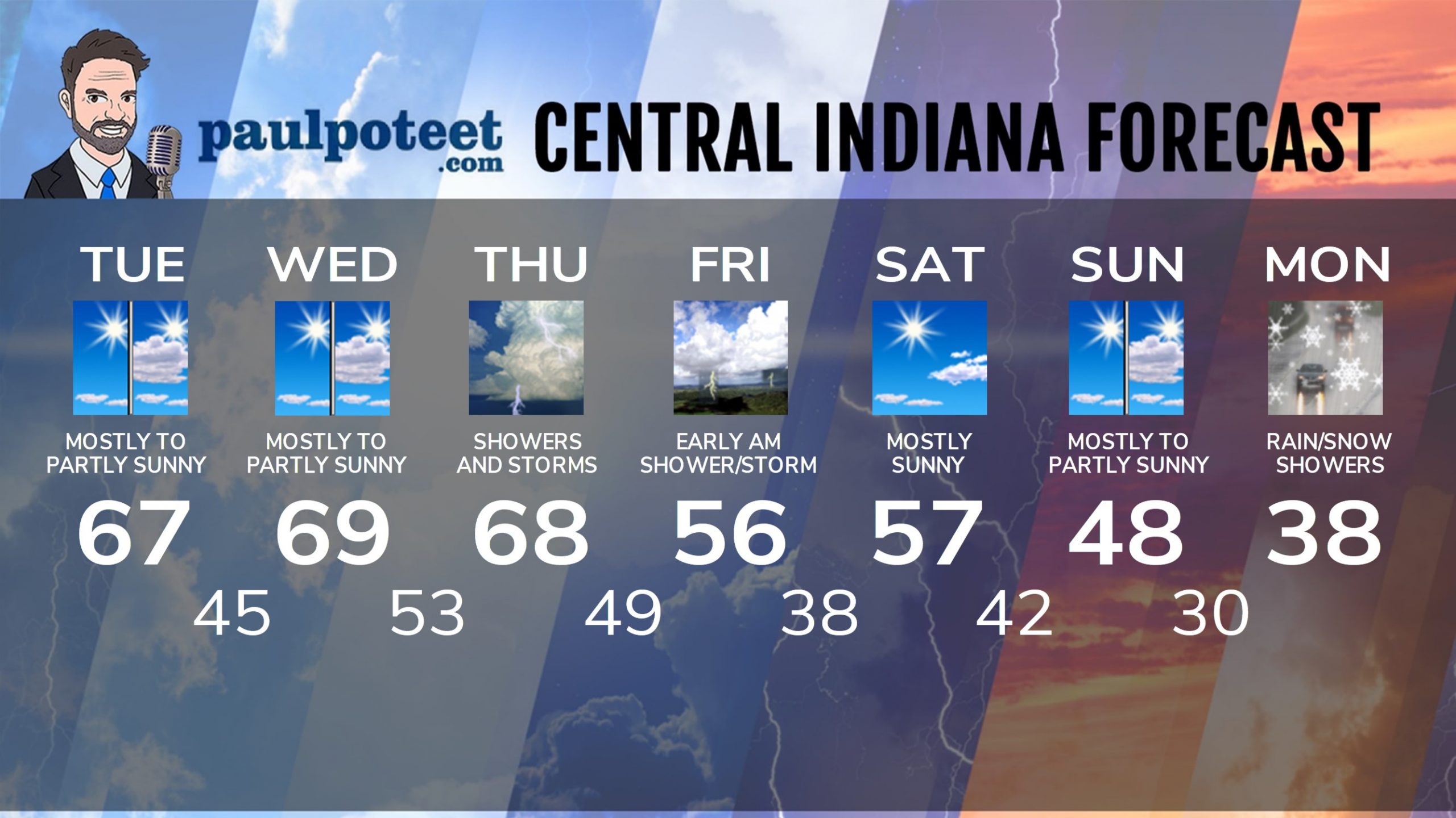
INDY SEVEN DAY FORECAST
Today: Mostly to partly sunny. High 67.
Tuesday Night: Partly cloudy. Isolated shower overnight. Low 45.
Wednesday: Mostly to partly sunny. High 69.
Wednesday Night: Partly cloudy. Scattered shower and storms in the late evening and overnight. Low 53.
Thursday: Mostly cloudy. Periods of showers and storms. A few could be severe. High 68.
Thursday Night: Showers and storms. Low 49.
Friday: Showers and storms end in the morning. Mostly cloudy and cooler. High 56.
Friday Night: Partly cloudy. Low 38.
Saturday: Mostly sunny. High 57.
Saturday Night: Partly cloudy. Stray overnight shower. Low 42.
Sunday: Mostly sunny morning. Partly sunny afternoon. High 48.
Sunday Night: Partly cloudy. Low 30.
Monday: Mostly cloudy and colder. Rain and snow showers possible. High 38.
Never miss me! Subscribe for free. My Huge Radar has real-time weather tracking, current temperatures, and severe weather watches and warnings. Get detailed Indiana conditions by clicking here. Click here to see my central Indiana 7-Day Forecast. Follow these links to get my forecasts for Lafayette, Muncie, Hendricks County, and Hamilton County. Need a second opinion? Click here for central Indiana National Weather Service forecasts. (Some charts via WeatherBELL.)


