High temps are going near to above average for the next week in central Indiana. The weekend is a split decision, and I don’t think the trick-or-treaters will get rained out Monday night.
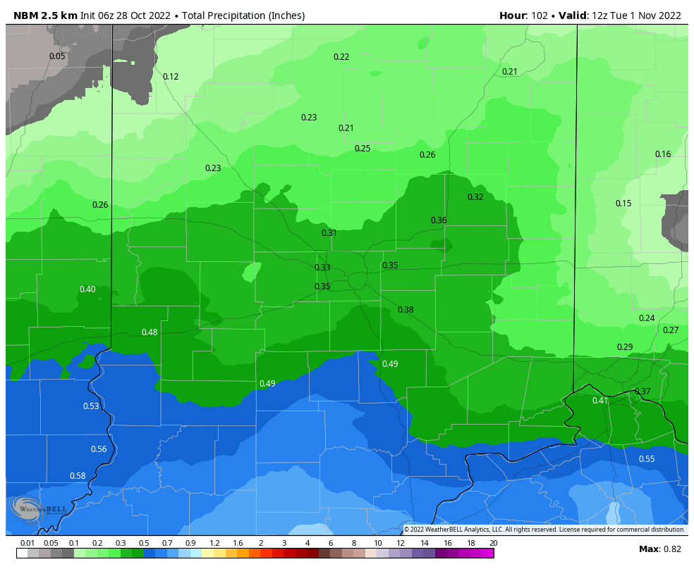
Clouds increase Saturday evening as a strong closed low begins to pivot to the north from Texas. This system is expected to track up the Mississippi Saturday night into early Sunday. About one-third of an inch of rain looks possible. Just rain…no thunder. By Monday evening, the showers are expected to be exiting the eastern counties with gradually clearing skies. Hopefully that means Mister Weatherman won’t get a rock when he trick-or-treats.
Never miss me! Subscribe for free. My Huge Radar has real-time weather tracking, current temperatures, and severe weather watches and warnings. Get detailed Indiana conditions by clicking here. Click here to see my central Indiana 7-Day Forecast. Follow these links to get my forecasts for Lafayette, Muncie, Hendricks County, and Hamilton County. Need a second opinion? Click here for central Indiana National Weather Service forecasts. (Some charts via WeatherBELL.)
INDY SEVEN DAY FORECAST
Friday: Partly sunny morning. Sunny afternoon. High 64.
Friday Night: Clear. Low 40.
Saturday: Sunny. Clouds increase in the late afternoon. High 69.
Saturday Night: Mostly cloudy. Shower chance after midnight. Low 48.
Sunday: Mostly cloudy. Periods of showers. High 62.
Sunday Night: Periods of showers. Low 53.
Monday: Mostly cloudy. Scattered showers, especially in the morning. High 62.
Halloween Evening: Mostly to partly cloudy. Trick to treat temps in the 50s. Low 46.
Tuesday: Mostly sunny. High 67.
Tuesday Night: Mostly clear. Low 44.
Wednesday: Mostly sunny. High 69.
Wednesday Night: Partly cloudy. Low 46.
Thursday: Partly sunny. High 69.

Never miss me! Subscribe for free. My Huge Radar has real-time weather tracking, current temperatures, and severe weather watches and warnings. Get detailed Indiana conditions by clicking here. Click here to see my central Indiana 7-Day Forecast. Follow these links to get my forecasts for Lafayette, Muncie, Hendricks County, and Hamilton County. Need a second opinion? Click here for central Indiana National Weather Service forecasts. (Some charts via WeatherBELL.)


