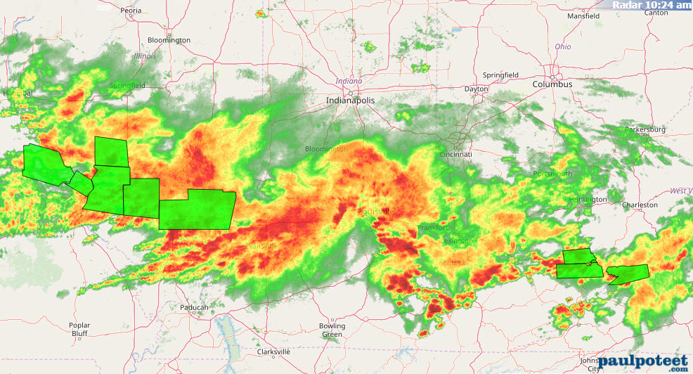
It’s a Civil Weather War, and the South is winning, with respect to rain in Indiana Wednesday. This chart shows the showers as of mid-morning. The green polygons indicate Flash Flood Warnings.
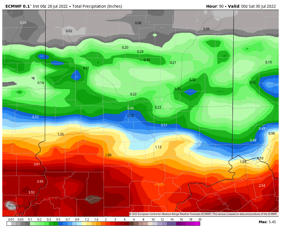
Wednesday and Thursday bring more widespread showers and storms to central Indiana.
Never miss me! Subscribe for free. My Huge Radar has real-time weather tracking, current temperatures, and severe weather watches and warnings. Get detailed Indiana conditions by clicking here. Click here to see my central Indiana 7-Day Forecast. Follow these links to get my forecasts for Lafayette, Muncie, Hendricks County, and Hamilton County. Need a second opinion? Click here for central Indiana National Weather Service forecasts. (Some charts via WeatherBELL.)
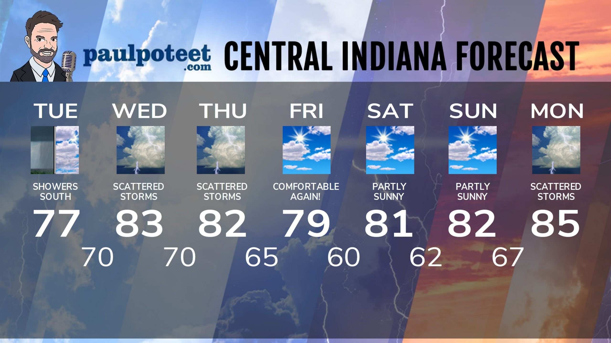
INDY SEVEN DAY FORECAST
Today: Cloudy, with scattered showers, mainly south of Indy, and mainly in the morning and midday. High 77.
Tonight: Cloudy, with a spotty shower possible. Low 70.
Wednesday: Mostly cloudy. Scattered showers and storms. High 83.
Wednesday Night: Scattered showers and storms. Low 70.
Thursday: Scattered showers and storms. High 82.
Thursday Night: Spotty showers or storms. Low 65.
Friday: Partly sunny. Not as humid! High 79.
Friday Night: Partly cloudy. Low 60.
Saturday: Partly sunny. High 81.
Saturday Night: Mostly clear. Low 62.
Sunday: Partly sunny. High 82.
Sunday Night: Partly cloudy. Shower and storm chance after midnight. Low 67.
Monday: Partly to mostly cloudy, with scattered showers and storms. High 85.
Never miss me! Subscribe for free. My Huge Radar has real-time weather tracking, current temperatures, and severe weather watches and warnings. Get detailed Indiana conditions by clicking here. Click here to see my central Indiana 7-Day Forecast. Follow these links to get my forecasts for Lafayette, Muncie, Hendricks County, and Hamilton County. Need a second opinion? Click here for central Indiana National Weather Service forecasts. (Some charts via WeatherBELL.)


