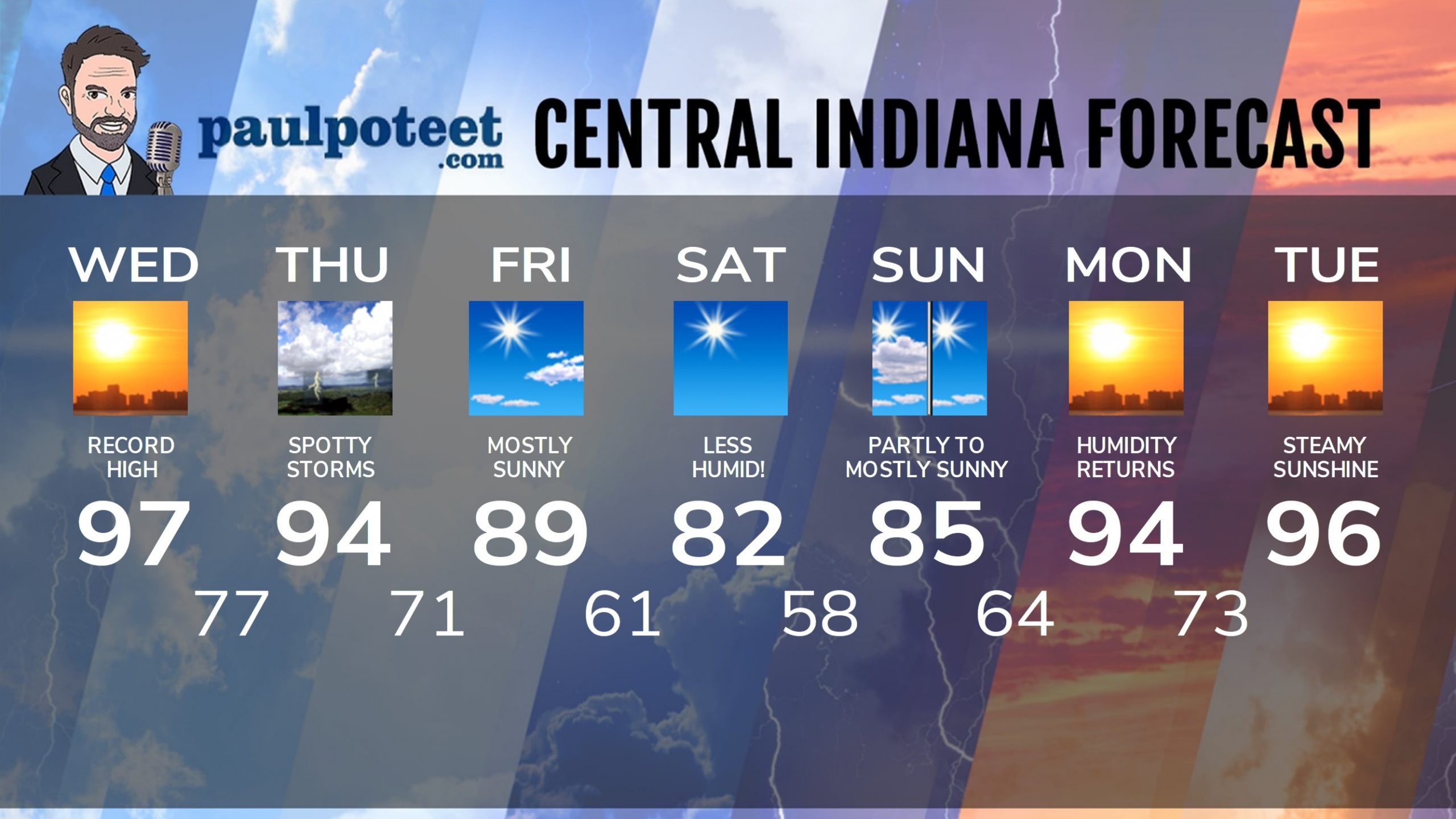
Missed a record high by one degree in Indy yesterday. Feel better now? Didn’t think so. We’ll make another run at the record today. The number to beat: 94. Still a small threat for storms with a cold front tomorrow.
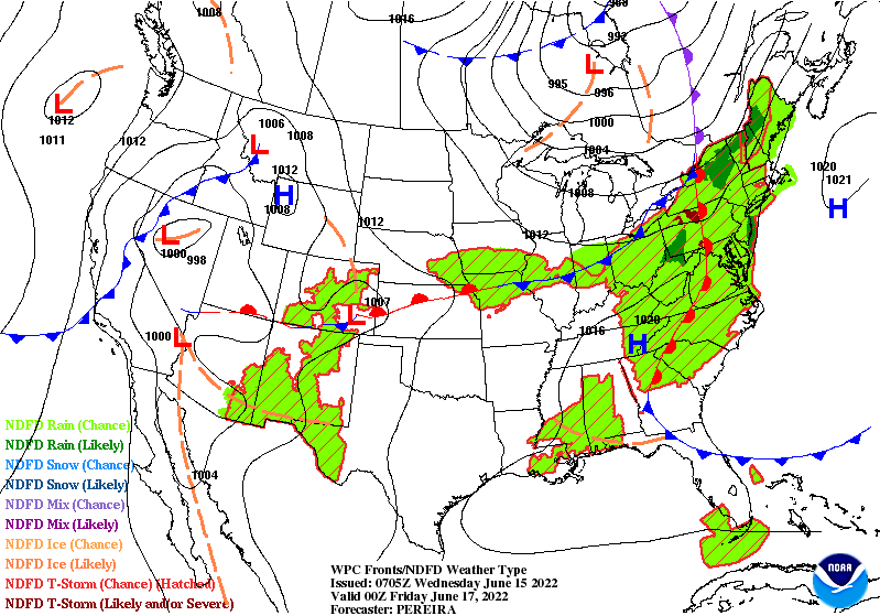
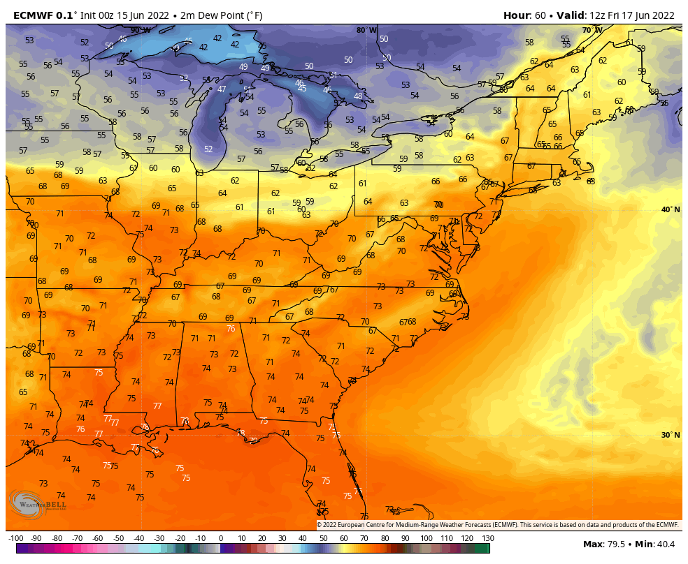
The bigger impact of that front will be dewpoints dropping Friday, setting us up for a comfortable weekend.
Enjoy the weekend. Right back to the soup next week!
Never miss me! Subscribe for free. My Huge Radar has real-time weather tracking, current temperatures, and severe weather watches and warnings. Get detailed Indiana conditions by clicking here. Click here to see my central Indiana 7-Day Forecast. Follow these links to get my forecasts for Lafayette, Muncie, Hendricks County, and Hamilton County. Need a second opinion? Click here for central Indiana National Weather Service forecasts. (Some charts via WeatherBELL.)
INDY SEVEN DAY FORECAST
Today: **EXCESSIVE HEAT WARNING UNTIL 9PM** Sunny, hot, and humid. Record high temperature. High 97.
Tonight: Mostly clear and muggy. Low 77.
Thursday: Partly sunny, hot and humid. Isolated shower or storm possible. High 94.
Thursday Night: Partly cloudy. Spotty showers and storms overnight. Low 71.
Friday: Mostly sunny. Humidity falls in the afternoon. High 89.
Friday Night: Clear. Less humid. Low 61.
Saturday: Sunny. High 82.
Saturday Night: Clear. Low 58.
Sunday: Partly to mostly sunny. High 85.
Sunday Night: Mostly clear. Low 64.
Monday: Sunny. Humidity increases again. High 94.
Monday Night: Clear and muggy. Low 73.
Tuesday: Steamy sunshine. High 96.
Never miss me! Subscribe for free. My Huge Radar has real-time weather tracking, current temperatures, and severe weather watches and warnings. Get detailed Indiana conditions by clicking here. Click here to see my central Indiana 7-Day Forecast. Follow these links to get my forecasts for Lafayette, Muncie, Hendricks County, and Hamilton County. Need a second opinion? Click here for central Indiana National Weather Service forecasts. (Some charts via WeatherBELL.)


