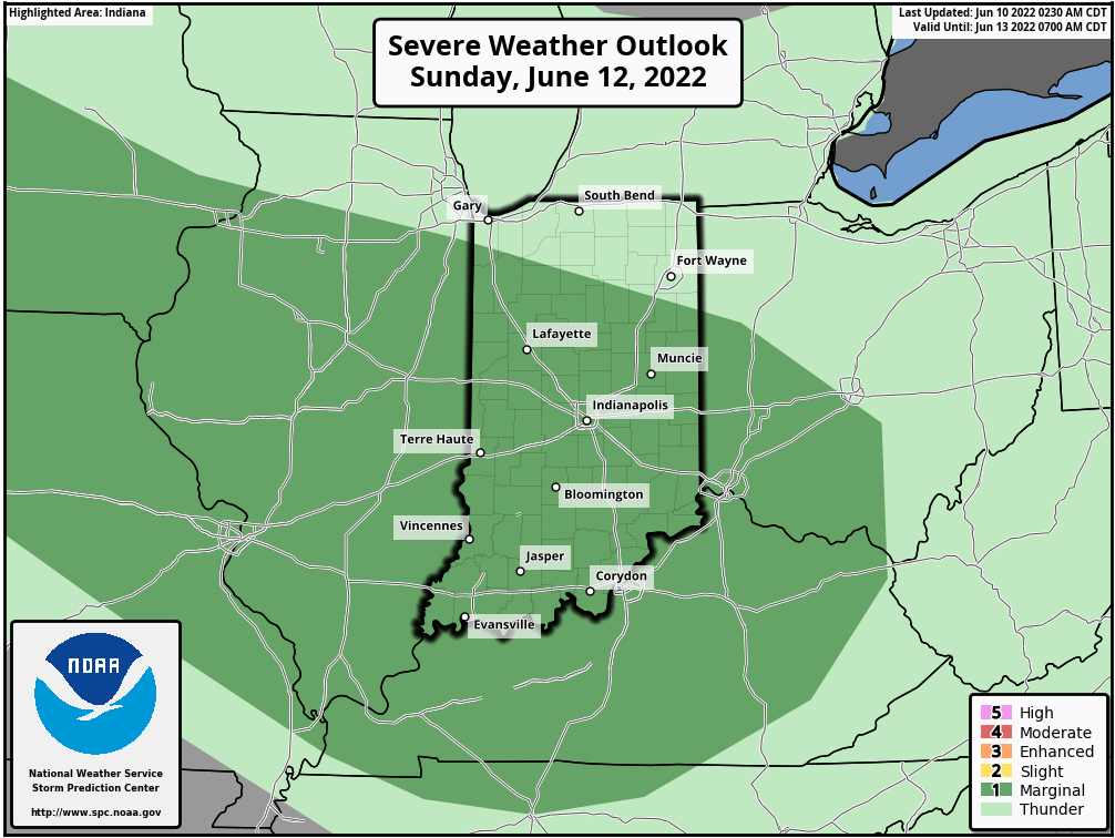
Scattered showers Friday night could contain some a few wind gusts to 40 mph. The shower and storm chance is marginal Saturday, but is up a bit for Sunday, mainly in the afternoon and evening, with a level one (of five) risk of large hail and damaging wind gusts.
FUN FACT: Indianapolis has not surpassed 95F since 2013.
Never miss me! Subscribe for free. My Huge Radar has real-time weather tracking, current temperatures, and severe weather watches and warnings. Get detailed Indiana conditions by clicking here. Click here to see my central Indiana 7-Day Forecast. Follow these links to get my forecasts for Lafayette, Muncie, Hendricks County, and Hamilton County. Need a second opinion? Click here for central Indiana National Weather Service forecasts. (Some charts via WeatherBELL.)
Saturday: Partly sunny. Isolated showers or storms, especially early morning, and later in the afternoon. High 79.
Saturday Night: Partly cloudy. Isolated early evening shower or storm possible. Low 66.
Sunday: Partly sunny, hotter and more humid. Scattered showers and storms, mainly in the afternoon. High 87.
Sunday Night: Partly cloudy. Scattered showers and storms in the early evening. Low 69.
Monday: Partly sunny. Hot and humid. Scattered afternoon showers and storms. High 92.
Monday Night: Scattered early evening shower or storm. Partly cloudy and muggy. Low 76.
Tuesday: Partly to mostly sunny. Hot and humid. Present record high is 94. High 97.
Tuesday Night: Partly cloudy and muggy. Low 77.
Wednesday: Partly to mostly sunny. Hot and humid. Present record high is 94. High 97.
Wednesday Night: Partly cloudy and muggy. Low 75.
Thursday: Partly sunny, hot and humid. Scattered afternoon showers and storms. High 91.
Thursday Night: Scattered showers and storms. Low 67.
Friday: Mostly sunny, hot and humid. High 90.

Never miss me! Subscribe for free. My Huge Radar has real-time weather tracking, current temperatures, and severe weather watches and warnings. Get detailed Indiana conditions by clicking here. Click here to see my central Indiana 7-Day Forecast. Follow these links to get my forecasts for Lafayette, Muncie, Hendricks County, and Hamilton County. Need a second opinion? Click here for central Indiana National Weather Service forecasts. (Some charts via WeatherBELL.)


