Nasty northwest winds today will keep the chills between 5-15, and will spur some lake effect snow showers in northern Indiana. As an upper level wave moves through we could see flurries in central Indiana, especially in the morning.
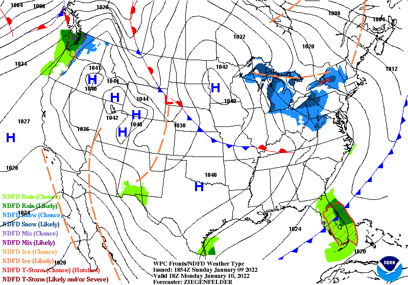
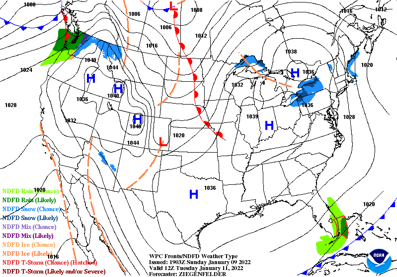
The breeze will ease tonight and tomorrow, with surface high pressure directly over us. Tuesday should be nice and bright.
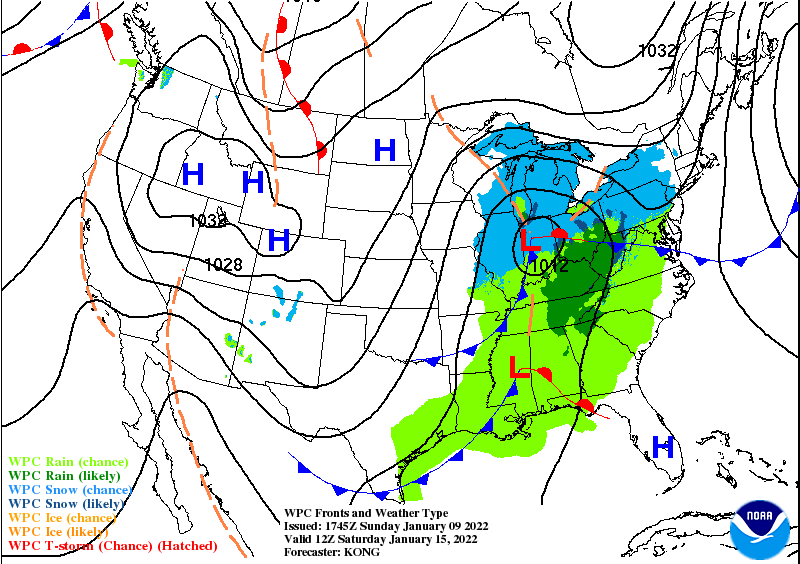
The next big weather maker brings rain later Friday and snow Saturday. There’s a chance it could bring some accumulation…no promises lol. Stay tuned!
Never miss me! Subscribe for free. My Huge Radar has real-time weather tracking, current temperatures, and severe weather watches and warnings. Get detailed Indiana conditions by clicking here. Click here to see my central Indiana 7-Day Forecast. Follow these links to get my forecasts for Lafayette, Muncie, Hendricks County, and Hamilton County. Need a second opinion? Click here for central Indiana National Weather Service forecasts. (Some charts via WeatherBELL.)
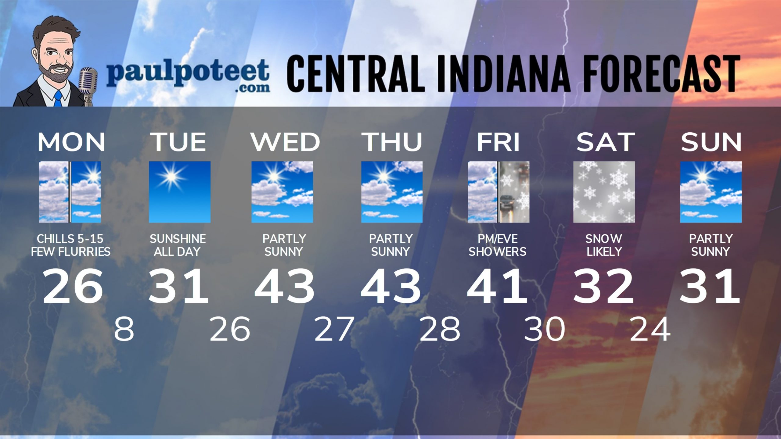
INDY SEVEN DAY FORECAST
Today: Partly sunny, with a few flurries. Chills from 5-15 above. Wind gusting to 20 mph. High 26.
Tonight: Clear. Chills around zero. Low 8.
Tuesday: Sunny. High 31.
Tuesday Night: Mostly clear evening. Partly cloudy overnight. Low 26.
Wednesday: Partly sunny. High 43.
Wednesday Night: Partly cloudy. Low 27.
Thursday: Partly sunny. High 43.
Thursday Night: Partly cloudy. Low 28.
Friday: Partly sunny morning. Spotty showers in the afternoon. High 41.
Friday Night: Rain and/or snow showers. Low 30.
Saturday: Snow likely, possibly accumulating. High 32.
Saturday Night: Snow showers in the evening. Low 24.
Sunday: Partly sunny. High 31.
Never miss me! Subscribe for free. My Huge Radar has real-time weather tracking, current temperatures, and severe weather watches and warnings. Get detailed Indiana conditions by clicking here. Click here to see my central Indiana 7-Day Forecast. Follow these links to get my forecasts for Lafayette, Muncie, Hendricks County, and Hamilton County. Need a second opinion? Click here for central Indiana National Weather Service forecasts. (Some charts via WeatherBELL.)


