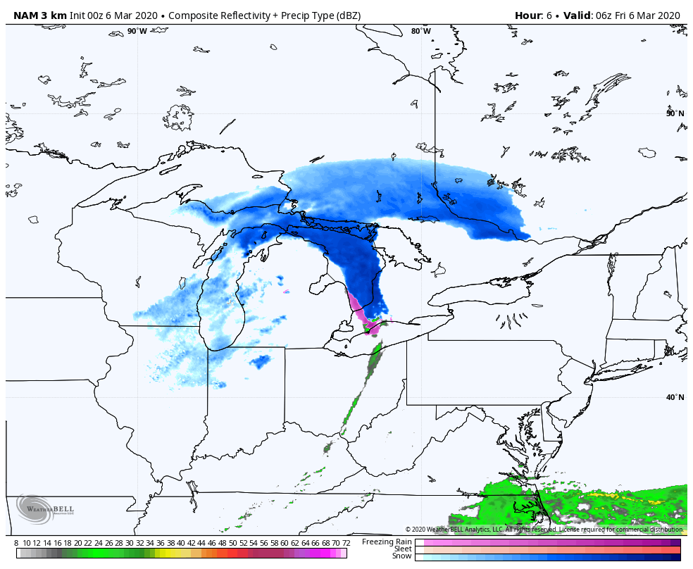
It’s sectional time in Indiana, so a little wintry weather shouldn’t be a surprise. A wave on Friday drives down chills to the 20s, and produces mainly morning and midday snow showers.
This is the fourth consecutive weekend of mostly dry weather for Central Indiana. High pressure will be right over us Saturday, and the day should be clear. As the high moves off to the east Sunday, the clockwise flow around it will shift winds to the south, and temps will begin to jump.
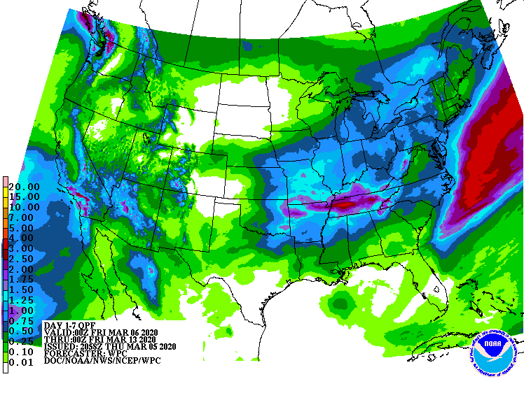
Rain returns Monday and by the time it ends next week we could see another inch of precipitation.
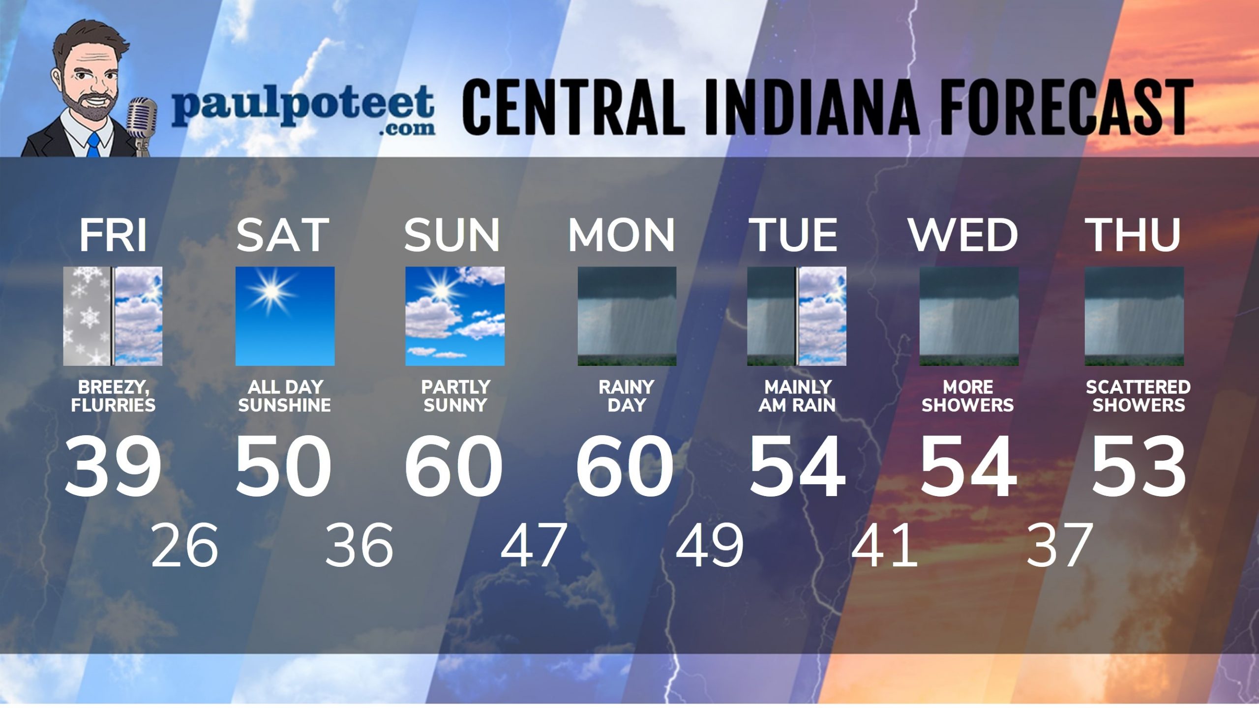
INDY SEVEN DAY FORECAST
Friday: Mostly cloudy. Flurries, snow showers and breezes gusting to 40 mph. Chills in the 20s! High 39.
Friday Night: Clearing and colder. Low 26.
Saturday: Mostly sunny. High 50.
Saturday Night: Partly cloudy. Low 36.
Sunday: Partly sunny. High 60.
Sunday Night: Partly cloudy. Low 47.
Monday: Rainy. High 60.
Monday Night: More showers. Low 49.
Tuesday: Mainly morning showers. High 54.
Tuesday Night: Partly to mostly cloudy. Low 41.
Wednesday: Periods of showers. High 54.
Wednesday Night: Spotty showers. Low 37.
Thursday: Scattered showers. High 53.
Never miss me! Subscribe for free. My Huge Radar has real-time weather tracking, current temperatures, and severe weather watches and warnings. Get detailed Indiana conditions by clicking here. Click here to see my central Indiana 7-Day Forecast. Follow these links to get my forecasts for Lafayette, Muncie, Hendricks County, and Hamilton County. Need a second opinion? Click here for central Indiana National Weather Service forecasts. (Some charts via WeatherBELL.)


