
The Race hasn’t been pushed back a day since the late 90s, and that is unlikely to change today. Could be 80 again by Noon today, as it was yesterday. Note that the breeze won’t be as big as it was Saturday, so you may notice every one of those degrees. Wind will be generally 5-15 mph from the southwest. I’m gonna sell a lot of cold drinks at Paul’s Polish Sausage Stand®.

Here’s the latest Indiana radar via the National Weather Service. (To go interactive, go to My Huge Radar.)

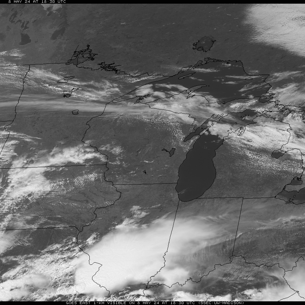
And here’s an updated view from a place even higher than the Blimp. (Or some of the people in the Infield.)
INDY SEVEN DAY FORECAST
Today: Partly to mostly cloudy with a slight chance of showers and storms. High 85.
Tonight: Mostly to partly cloudy. Low 63.
Memorial Day: Mostly sunny and less humid. High 87.
Monday Night: Mostly clear. Low 64.
Tuesday: Mostly to partly sunny. High 87.
Tuesday Night: Partly cloudy. Low 65.
Wednesday: Partly sunny. Slight shower and storm chances in the afternoon. High 86.
Wednesday Night: Slight shower and storm chance. Low 65.
Thursday: Mostly cloudy. Shower and storm chances. High 79.
Thursday Night: Slight shower and storm chances. Low 59.
Friday: Partly sunny. High 75.
Friday Night: Partly cloudy. Low 56.
Saturday: Partly sunny. High 74.
Never miss me! Subscribe for free. My Huge Radar has real-time weather tracking, current temperatures, and severe weather watches and warnings. Get detailed Indiana conditions by clicking here. Click here to see my central Indiana 7-Day Forecast. Follow these links to get my forecasts for Lafayette, Muncie, Hendricks County, and Hamilton County. Need a second opinion? Click here for central Indiana National Weather Service forecasts. (Some charts via WeatherBELL.)


