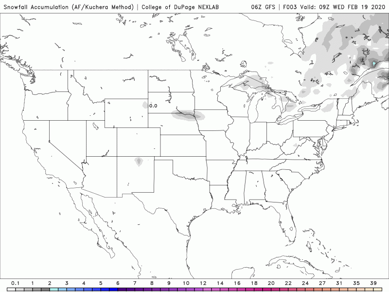
A nice pause in precipitation continues through the work week.
It’s a cool change, with temperatures also running below average through the rest of the work week.
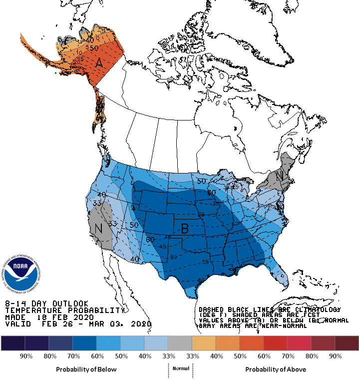
Back to near-average from the weekend into the first few days of next week. Then: cooler than average in the transition from February to March for most of the USA.
There are some snow chances starting in about a week, but at the moment nothing stands out as a shoveler!
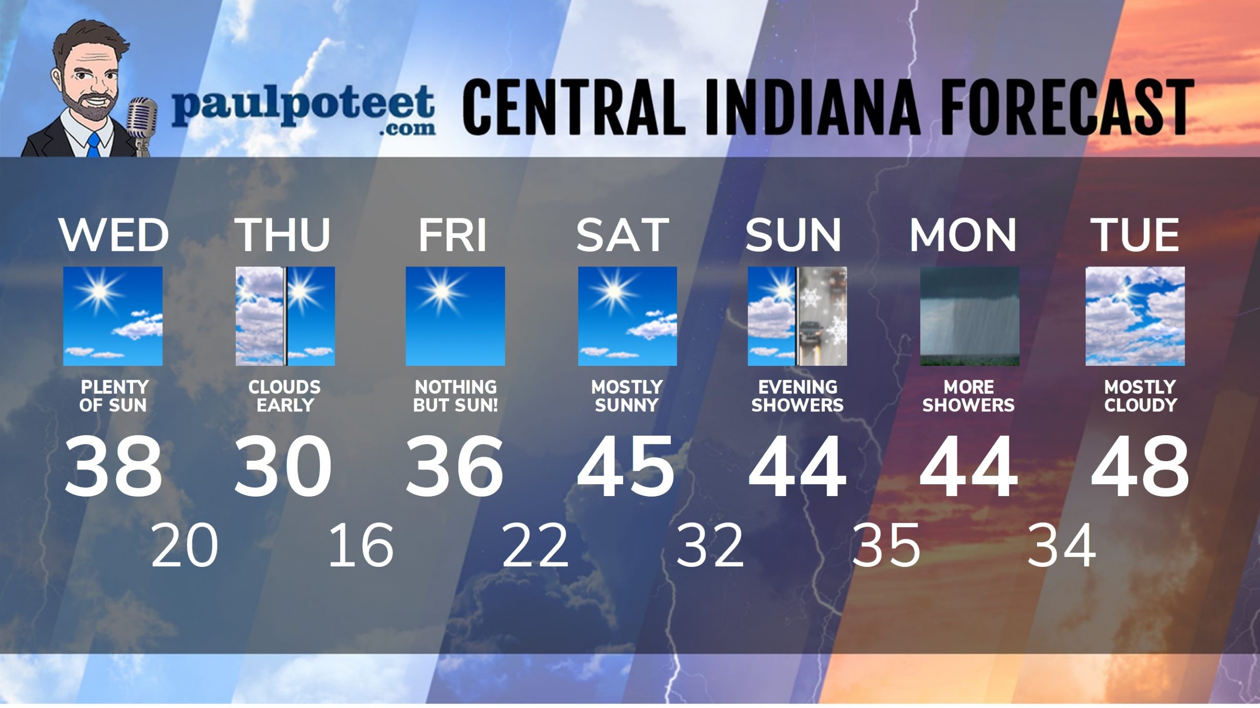
INDY SEVEN DAY FORECAST
Today: Mostly to partly sunny. High 38.
Tonight: Partly to mostly cloudy. Low 20.
Thursday: Partly, then mostly sunny. High 30.
Thursday Night: Clear. Low 16.
Friday: Sunny. High 36.
Friday Night: Mostly clear. Low 22.
Saturday: Mostly sunny. High 45.
Saturday Night: Partly cloudy. Low 32.
Sunday: Partly sunny. High 44.
Sunday Night: Mostly cloudy, with scattered snow and rain showers. Low 35.
Monday: Mostly cloudy, with scattered showers. Some snow mixed in. High 44.
Monday Night: Mostly cloudy. Low 34.
Tuesday: Mostly cloudy. High 48.
Never miss me! Subscribe for free. My Huge Radar has real-time weather tracking, current temperatures, and severe weather watches and warnings. Get detailed Indiana conditions by clicking here. Click here to see my central Indiana 7-Day Forecast. Follow these links to get my forecasts for Lafayette, Muncie, Hendricks County, and Hamilton County. Need a second opinion? Click here for central Indiana National Weather Service forecasts. (Some charts via WeatherBELL.)


RT @PaulPoteet: Indiana’s Weather For Wednesday: A nice pause in precipitation continues through the work week.
It’s a cool change, with t…
RT @PaulPoteet: Indiana’s Weather For Wednesday: A nice pause in precipitation continues through the work week.
It’s a cool change, with t…
RT @PaulPoteet: Indiana’s Weather For Wednesday: A nice pause in precipitation continues through the work week.
It’s a cool change, with t…