Rainfall this morning stayed under a half of an inch, and that’s the most we will see until Friday. Look at this chart of rainfall totals from Wednesday through Saturday morning. Check out those 3-4 inch totals in southern Indiana.

Never miss me! Subscribe for free. My Huge Radar has real-time weather tracking, current temperatures, and severe weather watches and warnings. Get detailed Indiana conditions by clicking here. Click here to see my central Indiana 7-Day Forecast. Follow these links to get my forecasts for Lafayette, Muncie, Hendricks County, and Hamilton County. Need a second opinion? Click here for central Indiana National Weather Service forecasts. (Some charts via WeatherBELL.)
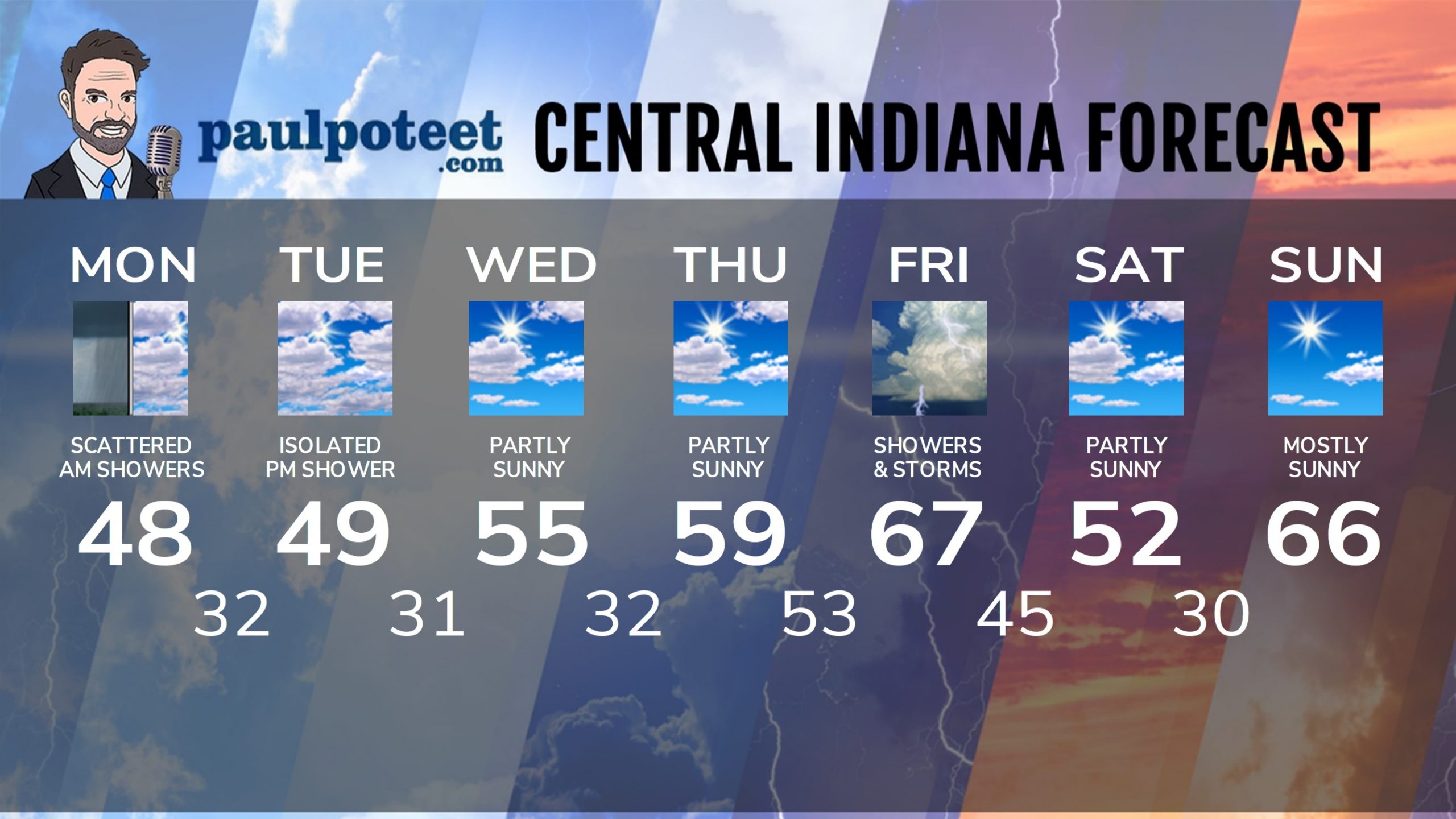
INDY SEVEN DAY FORECAST
Today: Cloudy, with some drizzle and scattered morning showers. High 48.
Tonight: Mostly to partly cloudy. Low 32.
Tuesday: Mostly to partly cloudy. Isolated afternoon shower. High 49.
Tuesday Night: Isolated evening showers, then mostly clear. Low 31.
Wednesday: Mostly to partly sunny. High 55.
Wednesday Night Partly cloudy. Low 32.
Thursday: Partly sunny. High 59.
Thursday Night: Partly cloudy. Showers and storms after midnight. Low 53.
Friday: Windy, with periods of showers and storms. High 67.
Friday Night: Showers and storms. Low 45.
Saturday: Partly sunny. High 52.
Saturday Night: Partly cloudy. Low 30.
Sunday: Mostly sunny. High 66.
Never miss me! Subscribe for free. My Huge Radar has real-time weather tracking, current temperatures, and severe weather watches and warnings. Get detailed Indiana conditions by clicking here. Click here to see my central Indiana 7-Day Forecast. Follow these links to get my forecasts for Lafayette, Muncie, Hendricks County, and Hamilton County. Need a second opinion? Click here for central Indiana National Weather Service forecasts. (Some charts via WeatherBELL.)


