Ho ho ho! It’s the coldest morning since Christmas Day across Central Indiana. At least the wind chills aren’t thirty below. But they *have* run just below zero around Lafayette, where skies cleared earliest, and temperatures dropped most early Tuesday.
MORNING LOWS
13 Indy and Muncie
10 Terre Haute
6 Lafayette
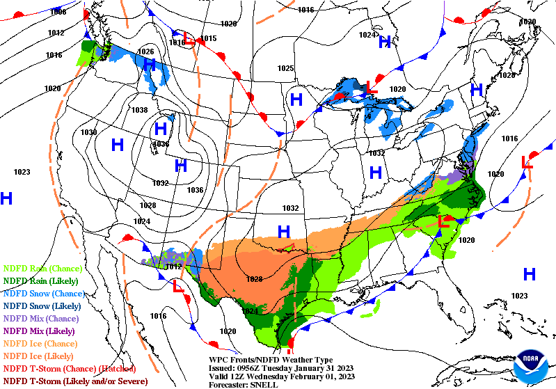
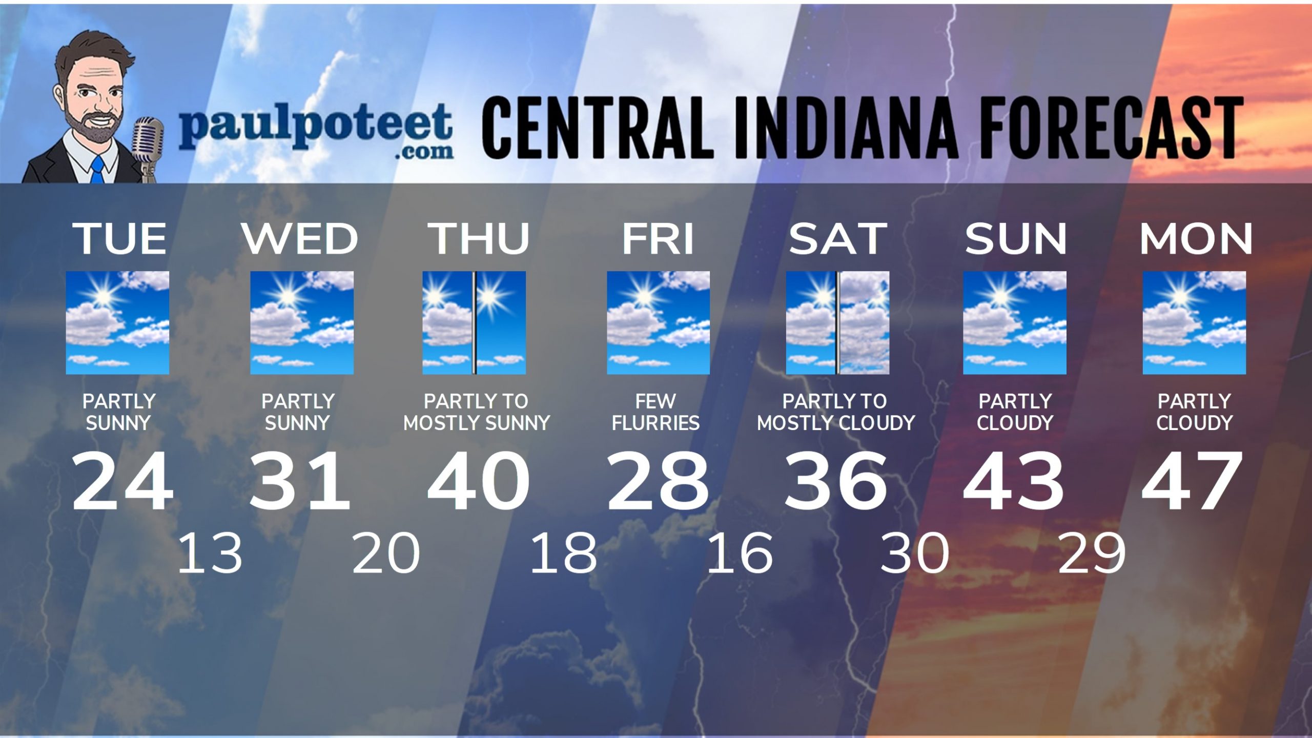
Chills are unlikely to get higher than about 15 Tuesday afternoon. It be a little better Wednesday, a lot better Thursday, and then we get a one-day detour Friday. A cold front zipping past puts us back into the 20s, with a few flurries. Other than that: nothing on the radar through the next seven days, with high pressure in control.
Never miss me! Subscribe for free. My Huge Radar has real-time weather tracking, current temperatures, and severe weather watches and warnings. Get detailed Indiana conditions by clicking here. Click here to see my central Indiana 7-Day Forecast. Follow these links to get my forecasts for Lafayette, Muncie, Hendricks County, and Hamilton County. Need a second opinion? Click here for central Indiana National Weather Service forecasts. (Some charts via WeatherBELL.)
INDY SEVEN DAY FORECAST
Today: Partly sunny. Morning chills near 0. Afternoon chills in the mid teens. High 24.
Tonight: Partly cloudy. Chills around zero. Low 13.
Wednesday: Partly sunny. Not as cold. High 31.
Wednesday Night: Partly cloudy. Low 20.
Thursday: Partly to mostly sunny. High 40.
Thursday Night: Mostly clear. Low 18.
Friday: Partly sunny, with a few flurries north and northeast of Indy. High 28.
Friday Night: Mostly clear. Low 16.
Saturday: Partly to mostly cloudy. High 36.
Saturday Night: Mostly cloudy. Low 30.
Sunday: Partly sunny. High 43.
Sunday Night: Partly cloudy. Low 29.
Monday: Partly sunny. High 47.
Never miss me! Subscribe for free. My Huge Radar has real-time weather tracking, current temperatures, and severe weather watches and warnings. Get detailed Indiana conditions by clicking here. Click here to see my central Indiana 7-Day Forecast. Follow these links to get my forecasts for Lafayette, Muncie, Hendricks County, and Hamilton County. Need a second opinion? Click here for central Indiana National Weather Service forecasts. (Some charts via WeatherBELL.)


