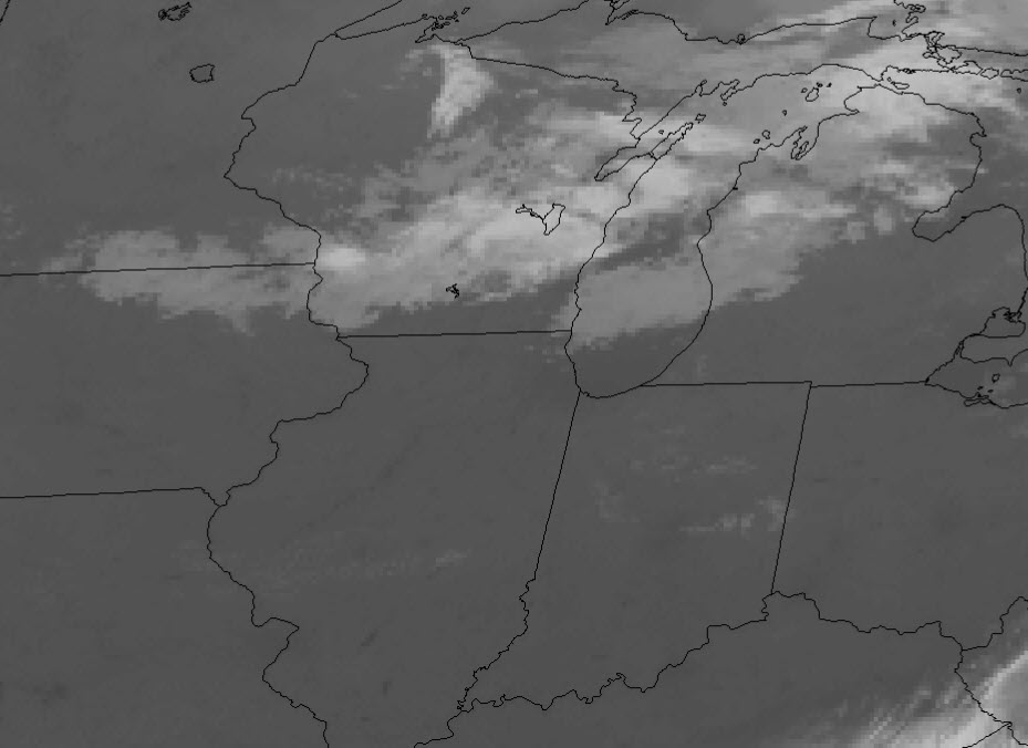
A mostly clear and calm morning for central Indiana. Cumulus clouds will start popping into the afternoon ahead of a weakening cold front, and with upper level shortwave. Some of those clouds could grow into showers, and perhaps a few thunderstorms.
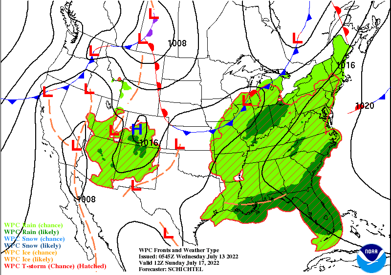
More widespread showers and storms are still expected Sunday and Monday.
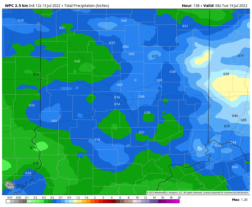
Up to three-quarters of an inch of rain could fall.
Never miss me! Subscribe for free. My Huge Radar has real-time weather tracking, current temperatures, and severe weather watches and warnings. Get detailed Indiana conditions by clicking here. Click here to see my central Indiana 7-Day Forecast. Follow these links to get my forecasts for Lafayette, Muncie, Hendricks County, and Hamilton County. Need a second opinion? Click here for central Indiana National Weather Service forecasts. (Some charts via WeatherBELL.)
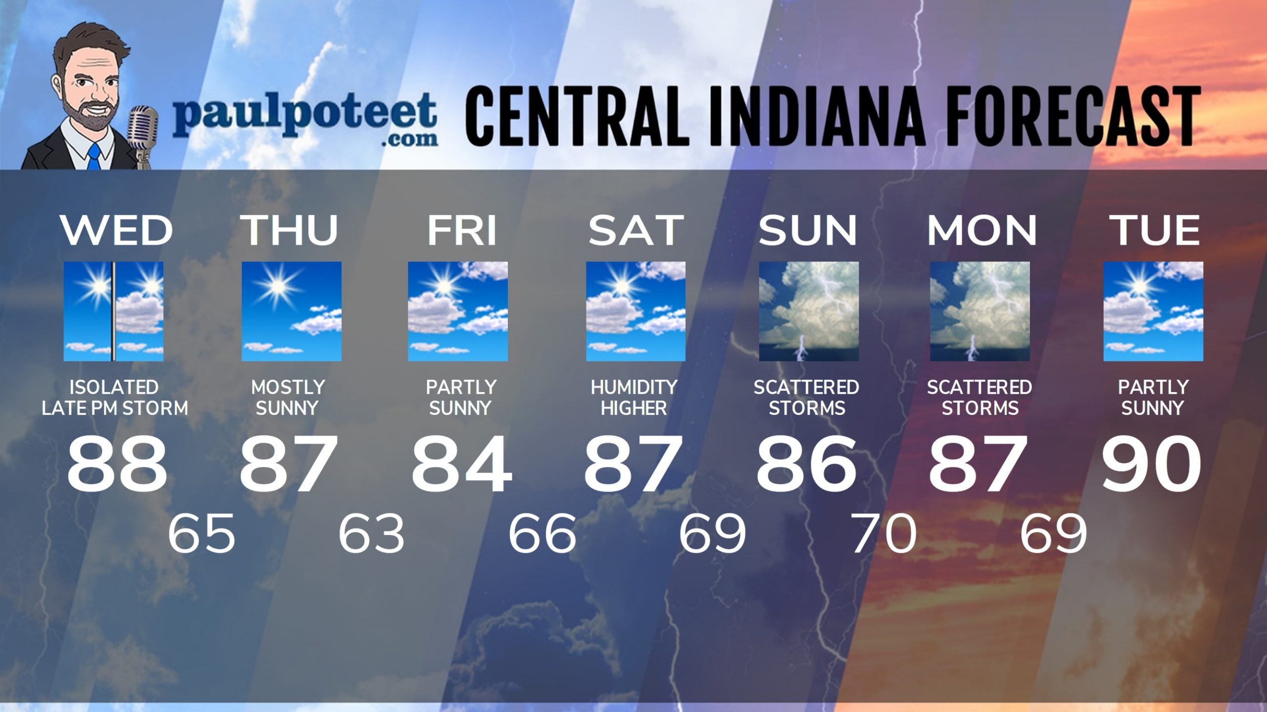
INDY SEVEN DAY FORECAST
Today: Mostly sunny morning. Partly sunny afternoon, with an isolated shower or storm later in the afternoon. High 88.
Tonight: Early evening isolated shower or storm. Clearing, cooler, and less humid after midnight. Low 65.
Thursday: Mostly sunny. High 87.
Thursday Night: Mostly clear. Low 63.
Friday: Partly sunny. High 84.
Friday Night: Partly cloudy. Low 66.
Saturday: Partly sunny and more humid. High 87.
Saturday Night: Partly cloudy. Scattered showers late. Low 69.
Sunday: Partly to mostly cloudy, with scattered showers and storms. High 86.
Saturday Night: Partly to mostly cloudy, with scattered showers and storms. Low 70.
Monday: Partly to mostly cloudy, with scattered showers and storms. High 87.
Monday Night: Partly cloudy. Low 69.
Tuesday: Partly sunny. High 90.
Never miss me! Subscribe for free. My Huge Radar has real-time weather tracking, current temperatures, and severe weather watches and warnings. Get detailed Indiana conditions by clicking here. Click here to see my central Indiana 7-Day Forecast. Follow these links to get my forecasts for Lafayette, Muncie, Hendricks County, and Hamilton County. Need a second opinion? Click here for central Indiana National Weather Service forecasts. (Some charts via WeatherBELL.)


