Peak of the heat and humidity today. A cold front approaches, with showers and storms that have a marginal (level one of five) risk of severe weather.

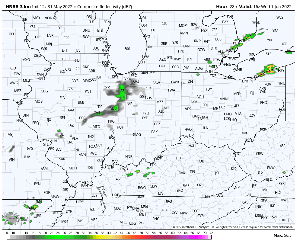
There are two shots at storms. The first is pretty small. It’s near near daybreak Wednesday near and northwest of Lafayette. The better chance is storms firing Wednesday afternoon and evening.
Never miss me! Subscribe for free. My Huge Radar has real-time weather tracking, current temperatures, and severe weather watches and warnings. Get detailed Indiana conditions by clicking here. Click here to see my central Indiana 7-Day Forecast. Follow these links to get my forecasts for Lafayette, Muncie, Hendricks County, and Hamilton County. Need a second opinion? Click here for central Indiana National Weather Service forecasts. (Some charts via WeatherBELL.)
INDY SEVEN DAY FORECAST
Today: Sunny, hot, and humid. Afternoon wind gusts to 25 mph. High 90.
Tonight: Partly cloudy. Low 70.
Wednesday: Partly to mostly cloudy, with scattered showers and storms. A few could be severe. High 83.
Wednesday Night: Scattered showers and storms. Low 60.
Thursday: Partly sunny, with scattered showers in the morning. Not as humid. High 74.
Thursday Night: Mostly clear, and less humid. Low 53.
Friday: Sunny and less humid. High 78.
Friday Night: Clear. Low 55.
Saturday: Mostly sunny. High 80.
Saturday Night: Partly cloudy. Low 58.
Sunday: Partly sunny. High 81.
Sunday Night: Partly cloudy. Low 61.
Monday: Partly sunny. Spotty showers and storms. High 81.

Never miss me! Subscribe for free. My Huge Radar has real-time weather tracking, current temperatures, and severe weather watches and warnings. Get detailed Indiana conditions by clicking here. Click here to see my central Indiana 7-Day Forecast. Follow these links to get my forecasts for Lafayette, Muncie, Hendricks County, and Hamilton County. Need a second opinion? Click here for central Indiana National Weather Service forecasts. (Some charts via WeatherBELL.)


