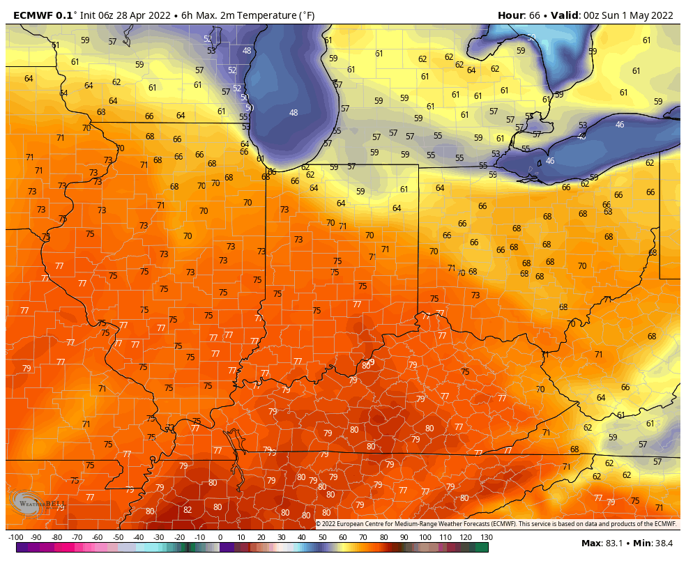
It’s looking like another warm weekend. Not the 80s this time, but not bad–in the mid 70s.
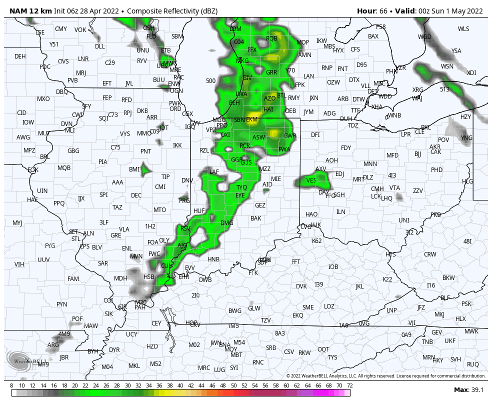
The peak of precipitation chances comes late Saturday afternoon into Saturday’s night – which is all right for stormin’. This particular slice of computer modeling is for 8pm Saturday.
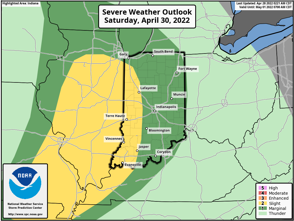
There is a level one/two (of five) risk of severe weather Saturday evening.
Never miss me! Subscribe for free. My Huge Radar has real-time weather tracking, current temperatures, and severe weather watches and warnings. Get detailed Indiana conditions by clicking here. Click here to see my central Indiana 7-Day Forecast. Follow these links to get my forecasts for Lafayette, Muncie, Hendricks County, and Hamilton County. Need a second opinion? Click here for central Indiana National Weather Service forecasts. (Some charts via WeatherBELL.)
INDY SEVEN DAY FORECAST
Today: Mostly cloudy, with a few spotty showers. High 62.
Tonight: Scattered showers. Low 48.
Friday: Mostly cloudy. Scattered late afternoon showers. High 66.
Friday Night: Cloudy, with scattered showers. Low 53.
Saturday: Partly to mostly cloudy. Scattered showers and storms in the afternoon. High 76.
Saturday Night: Showers and storms. Some could be severe. Low 59.
Sunday: Partly sunny. High 74.
Sunday Night: Partly cloudy. Low 50.
Monday: Partly sunny. High 73.
Monday Night: Scattered showers. Low 58.
Tuesday: Periods of showers and storms. High 71.
Tuesday Night: Scattered showers and storms. Low 49.
Wednesday: Partly sunny. High 69.

Never miss me! Subscribe for free. My Huge Radar has real-time weather tracking, current temperatures, and severe weather watches and warnings. Get detailed Indiana conditions by clicking here. Click here to see my central Indiana 7-Day Forecast. Follow these links to get my forecasts for Lafayette, Muncie, Hendricks County, and Hamilton County. Need a second opinion? Click here for central Indiana National Weather Service forecasts. (Some charts via WeatherBELL.)


