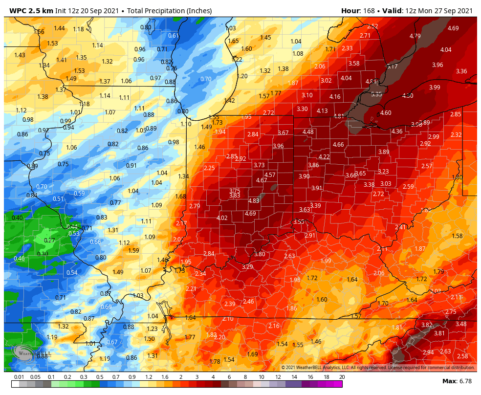
Over two inches of rain is likely to have accumulated by Thursday.
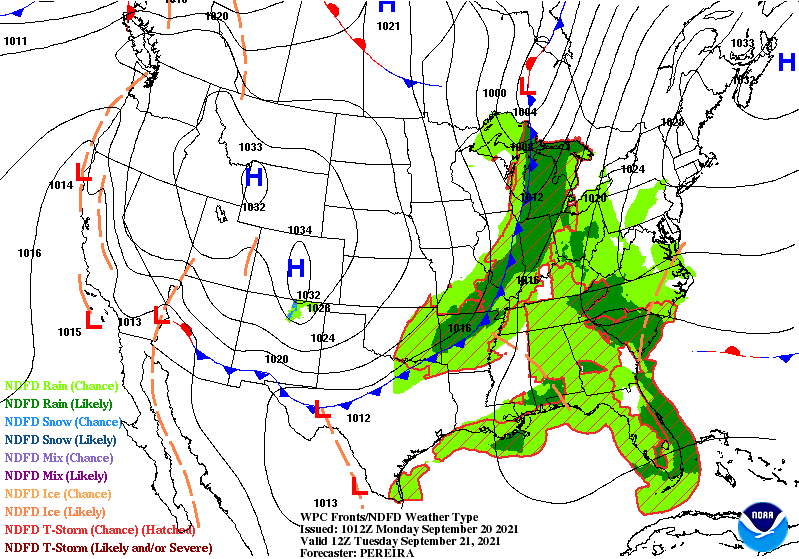
Today’s rain results from upper level energy. Round two for Tuesday is connected to a cold front that will send us into the 50s, with a gusty north wind by Wednesday.
Never miss me! Subscribe for free. My Huge Radar has real-time weather tracking, current temperatures, and severe weather watches and warnings. Get detailed Indiana conditions by clicking here. Click here to see my central Indiana 7-Day Forecast. Follow these links to get my forecasts for Lafayette, Muncie, Hendricks County, and Hamilton County. Need a second opinion? Click here for central Indiana National Weather Service forecasts. (Some charts via WeatherBELL.)
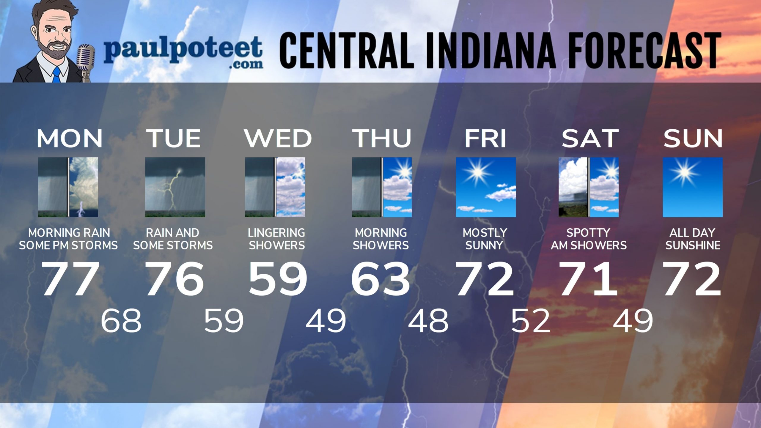
INDY SEVEN DAY FORECAST
Today: Morning showers. Scattered showers and storms in the afternoon. High 77.
Tonight: Mostly cloudy, with a few showers and storms, especially early. Low 68.
Tuesday: Mostly cloudy, with periods of showers and storms. High 76.
Tuesday Night: More showers and storms. Low 59.
Wednesday: Mostly cloudy, with much colder winds gusting to 25 mph. Lingering showers. High 59.
Wednesday Night: Scattered showers. Low 49.
Thursday: Spotty morning showers, then partly sunny. High 63.
Thursday Night: Mostly clear. Low 48.
Friday: Mostly sunny. High 72.
Friday Night: Partly cloudy. Low 52.
Saturday: Spotty showers possible early, then partly sunny. High 71.
Saturday Night: Mostly clear. Low 49.
Sunday: Sunny. High 72.
Never miss me! Subscribe for free. My Huge Radar has real-time weather tracking, current temperatures, and severe weather watches and warnings. Get detailed Indiana conditions by clicking here. Click here to see my central Indiana 7-Day Forecast. Follow these links to get my forecasts for Lafayette, Muncie, Hendricks County, and Hamilton County. Need a second opinion? Click here for central Indiana National Weather Service forecasts. (Some charts via WeatherBELL.)


