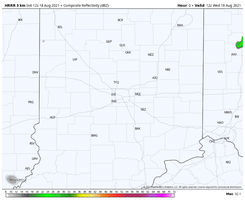
Spotty stuff again this afternoon and evening. One shower parked right over Greater Lafayette yesterday and put *exactly* one inch of rain down in one hour. A steadier rain is possible overnight into early Thursday morning within the southeastern quarter of the state.
Never miss me! Subscribe for free. My Huge Radar has real-time weather tracking, current temperatures, and severe weather watches and warnings. Get detailed Indiana conditions by clicking here. Click here to see my central Indiana 7-Day Forecast. Follow these links to get my forecasts for Lafayette, Muncie, Hendricks County, and Hamilton County. Need a second opinion? Click here for central Indiana National Weather Service forecasts. (Some charts via WeatherBELL.)
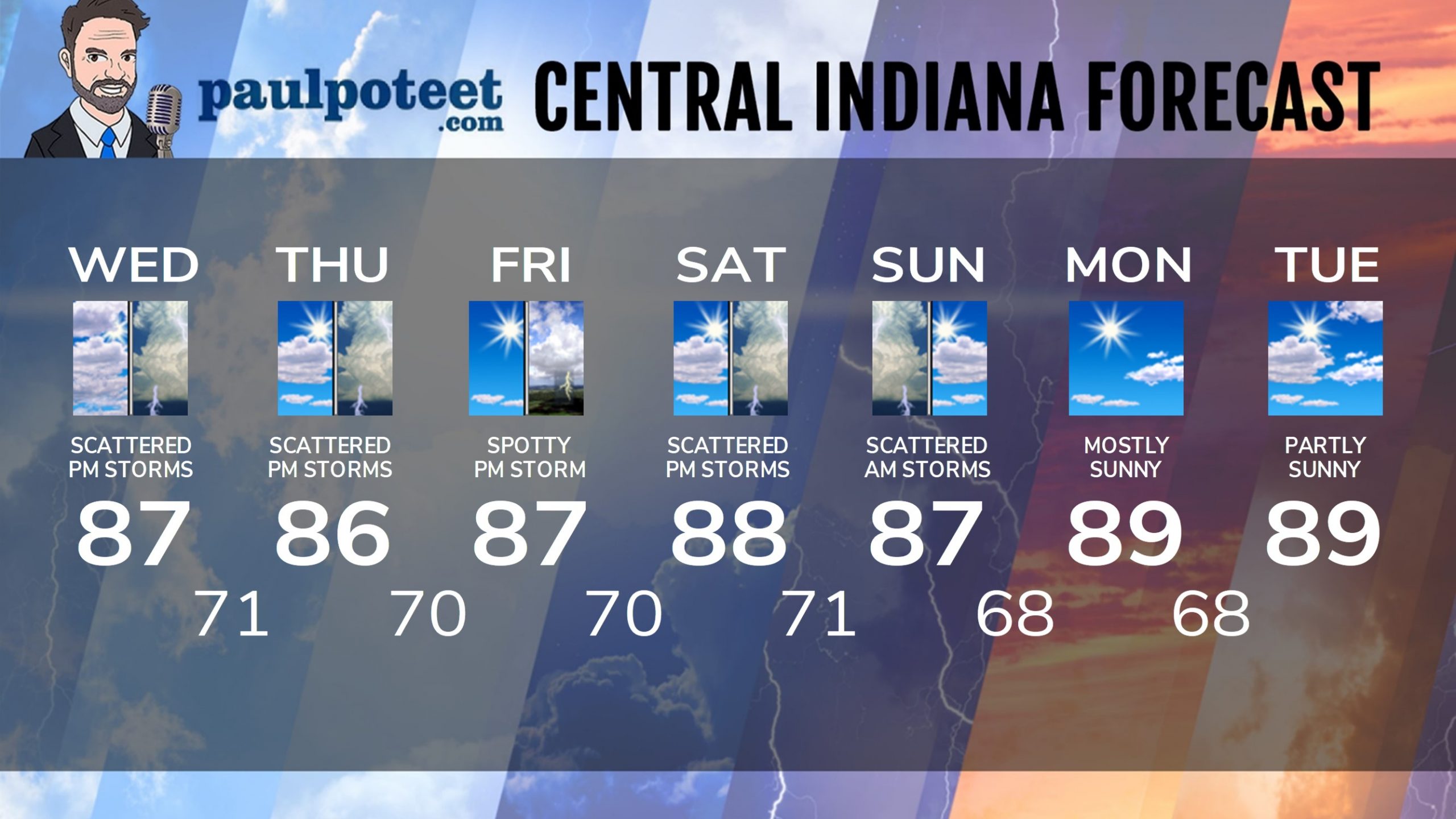
INDY SEVEN DAY FORECAST
Today: Patchy morning fog. Mostly to partly cloudy. Scattered afternoon showers and storms. High 87.
Tonight: Scattered showers or storms in the evening, then partly cloudy. Scattered showers and storms late to the south and southeast of the city. Low 71.
Thursday: Partly sunny. Scattered showers and storms in the early morning south and southeast of Indy. Scattered afternoon showers and storms elsewhere. High 86.
Thursday Night: Scattered shower or storm possible in the evening, then partly cloudy. Low 70.
Friday: Mostly sunny. Spotty shower or storm possible in the afternoon. High 87.
Friday Night: Partly cloudy. Low 70.
Saturday: Partly to mostly cloudy. Scattered showers and storms, mainly in the afternoon. High 88.
Saturday Night: Scattered showers and storms. Low 71.
Sunday: Scattered morning showers and storms, then partly sunny. High 87.
Sunday Night: Partly cloudy. Low 68.
Monday: Mostly sunny. High 89.
Monday Night: Partly cloudy. Low 68.
Tuesday: Mostly sunny. High 89.
Never miss me! Subscribe for free. My Huge Radar has real-time weather tracking, current temperatures, and severe weather watches and warnings. Get detailed Indiana conditions by clicking here. Click here to see my central Indiana 7-Day Forecast. Follow these links to get my forecasts for Lafayette, Muncie, Hendricks County, and Hamilton County. Need a second opinion? Click here for central Indiana National Weather Service forecasts. (Some charts via WeatherBELL.)


