Sunshine, a gentle warm breeze, and a high of 72 today! (Check your calendar.)
Checking the calendar again, I find today will be the coldest high temperature in Indianapolis since…February. Temps in the month of March cruised along at 4.7 degrees above average. We’ll be back to normal by Saturday, and high pressure will be the big player across the entire eastern half of the country. Enjoy…then.
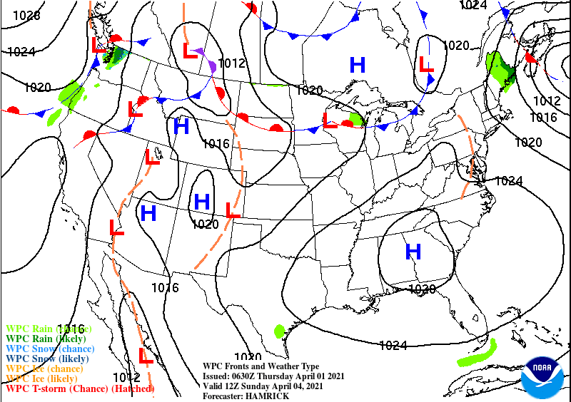
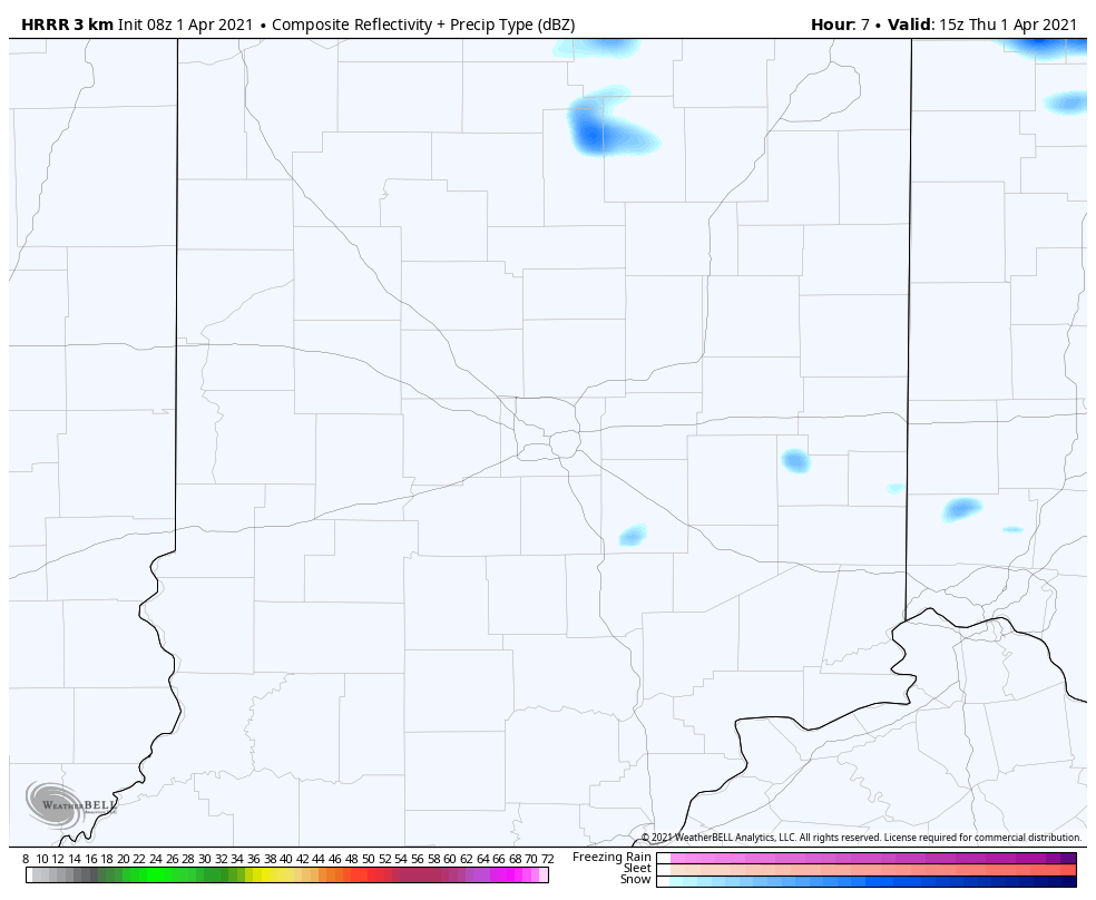
To add to the wintry feel *today*: a few flurries or snow showers, with some lake effect type circulation. Thanks South Bend! The biggest chance of that will be in the afternoon.
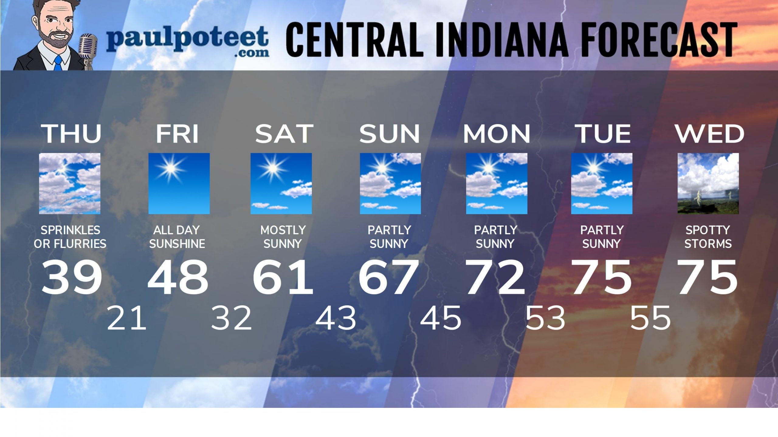
INDY SEVEN DAY FORECAST
Today: Partly to mostly cloudy, breezy, with a few sprinkles or flurries. Wind gusting to 30 mph. Morning chills in the teens. High 39.
Tonight: Clear, with a hard freeze. Low 21.
Friday: All day sunshine. Morning chill in the teens. High 48.
Friday Night: Mostly clear and frosty. Low 32.
Saturday: Mostly sunny. High 61.
Saturday Night: Mostly clear. Low 43.
Easter Sunday: Partly sunny. High 67.
Sunday Night: Mostly clear. Low 45.
Monday: Partly sunny. High 72.
Monday Night: Partly cloudy. Low 53.
Tuesday: Partly sunny. High 75.
Tuesday Night: Partly cloudy. Low 55.
Wednesday: Partly to mostly cloudy. Spotty showers and storms. High 75.
Never miss me! Subscribe for free. My Huge Radar has real-time weather tracking, current temperatures, and severe weather watches and warnings. Get detailed Indiana conditions by clicking here. Click here to see my central Indiana 7-Day Forecast. Follow these links to get my forecasts for Lafayette, Muncie, Hendricks County, and Hamilton County. Need a second opinion? Click here for central Indiana National Weather Service forecasts. (Some charts via WeatherBELL.)


It’s a weather miracle with snow on the ground 😂