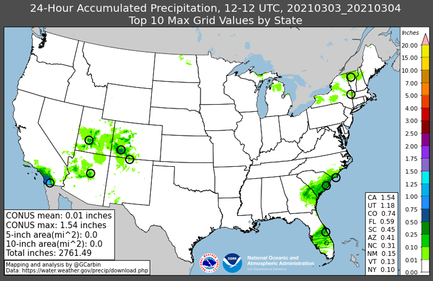
The driest day of the year is in the books! It was last Wednesday across the Lower 48.
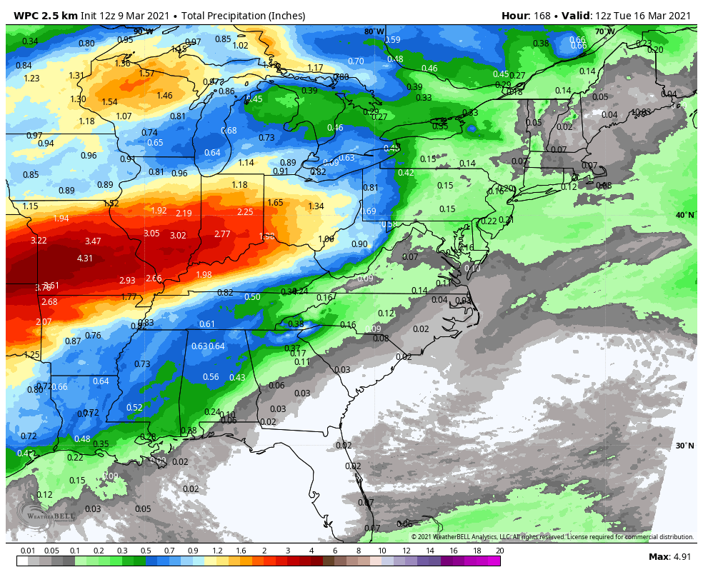
A welcome change after an active February pattern, but things are cranking up again. An inch or two of rainfall is possible later this week in central Indiana.
Never miss me! Subscribe for free. My Huge Radar has real-time weather tracking, current temperatures, and severe weather watches and warnings. Get detailed Indiana conditions by clicking here. Click here to see my central Indiana 7-Day Forecast. Follow these links to get my forecasts for Lafayette, Muncie, Hendricks County, and Hamilton County. Need a second opinion? Click here for central Indiana National Weather Service forecasts. (Some charts via WeatherBELL.)
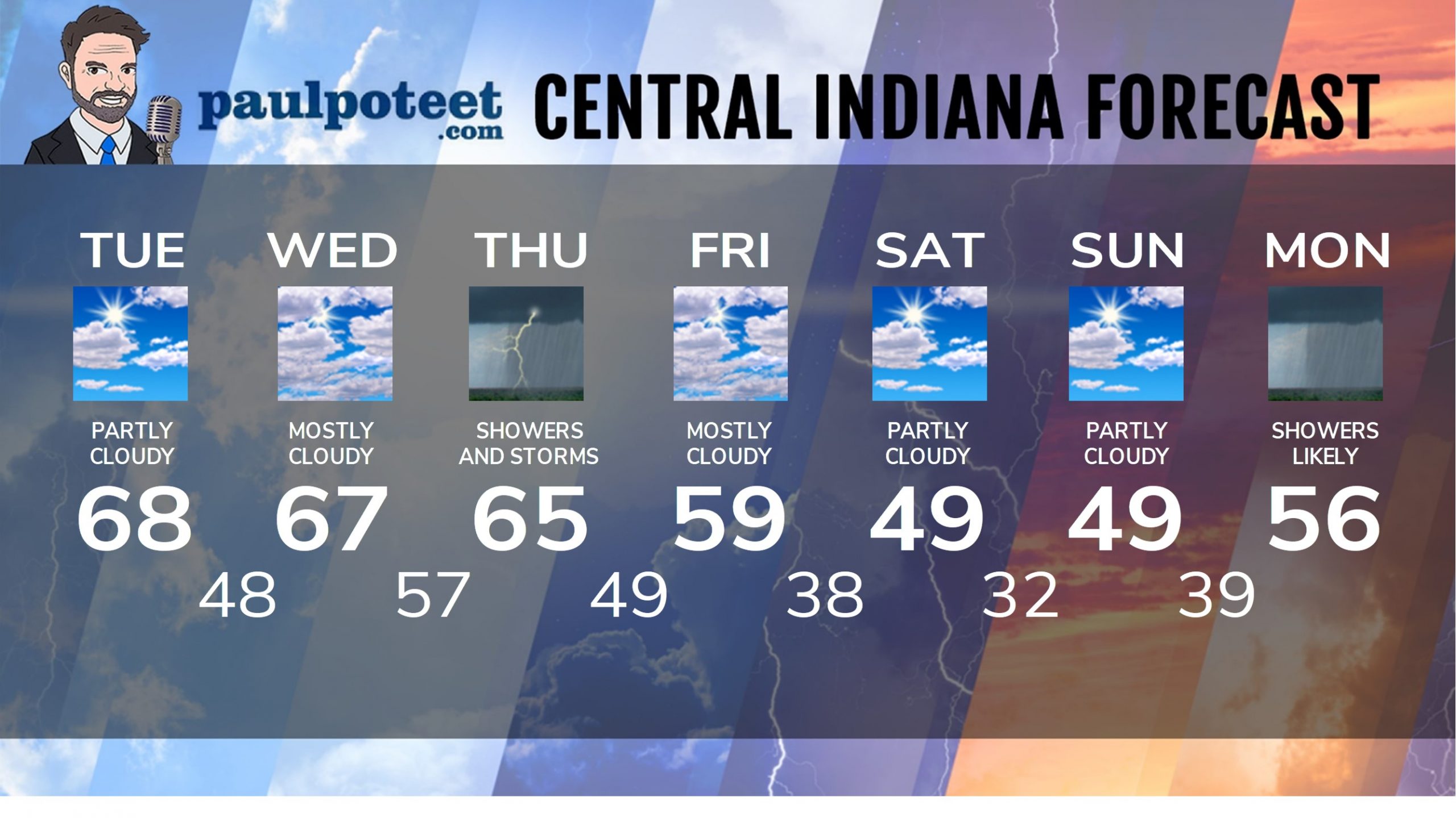
INDY SEVEN DAY FORECAST
Today: Mild again, with some high clouds. Breezy in the afternoon. High 68.
Tonight: Partly cloudy. Low 48.
Wednesday: Mostly cloudy. Wind gusting to 35 mph. High 67.
Wednesday Night: Scattered showers after midnight. Breezy. Low 57.
Thursday: Rainy day. Wind gusting to 35 mph. Thunder also possible. High 65.
Thursday Night: Rainy and breezy. Low 49.
Friday: Mostly cloudy. High 59.
Friday Night: Mostly cloudy. Low 38.
Saturday: Partly sunny and colder. High 49.
Saturday Night: Partly cloudy. Low 32.
Sunday: Partly sunny. High 49.
Saturday Night: Mostly cloudy. Scattered showers after midnight. Low 39.
Monday: Scattered showers. High 56.
Never miss me! Subscribe for free. My Huge Radar has real-time weather tracking, current temperatures, and severe weather watches and warnings. Get detailed Indiana conditions by clicking here. Click here to see my central Indiana 7-Day Forecast. Follow these links to get my forecasts for Lafayette, Muncie, Hendricks County, and Hamilton County. Need a second opinion? Click here for central Indiana National Weather Service forecasts. (Some charts via WeatherBELL.)


