It hasn’t been sub-freezing in Indy since Sunday morning, and our major melt down continues today. Helping the cause: sunshine, a brisk wind, and temps again hitting the 40s. Not as bright tomorrow, with fog and a couple spotty showers possible as a front slides through.
Never miss me! Subscribe for free. My Huge Radar has real-time weather tracking, current temperatures, and severe weather watches and warnings. Get detailed Indiana conditions by clicking here. Click here to see my central Indiana 7-Day Forecast. Follow these links to get my forecasts for Lafayette, Muncie, Hendricks County, and Hamilton County. Need a second opinion? Click here for central Indiana National Weather Service forecasts. (Some charts via WeatherBELL.)
INDY SEVEN DAY FORECAST
Today: Mostly sunny. Wind gusting to 25 mph. High 46.
Tonight: Partly cloudy. Wind gusting to 25 mph. Low 36.
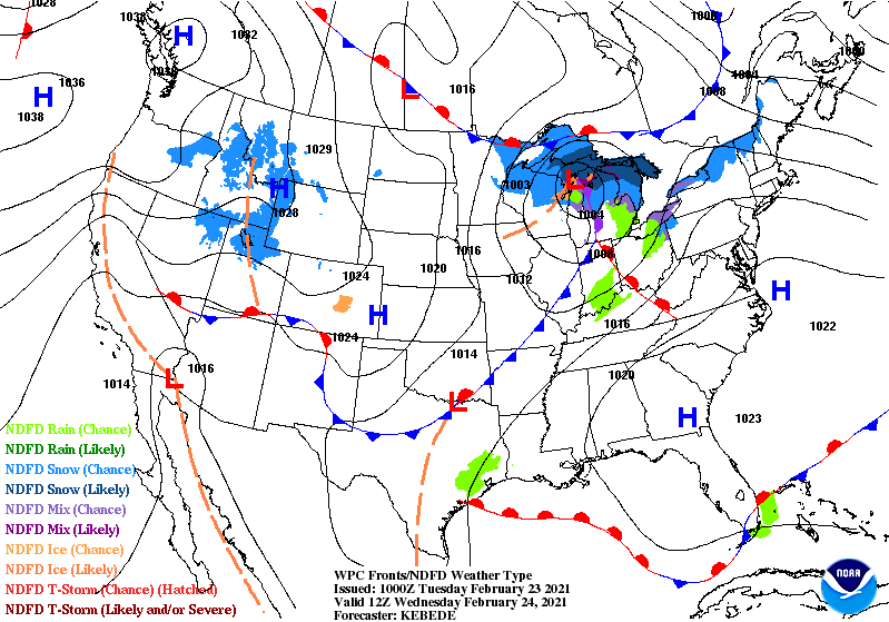
Wednesday: Patchy morning fog. Wind gusting to 25 mph. Mostly cloudy, with an isolated shower possible. High 47.
Wednesday Night: Mostly cloudy evening. Partly cloudy overnight. Low 27.
Thursday: Partly sunny. High 44.
Thursday Night: Partly cloudy. Low 24.
Friday: Mostly sunny. High 46.
Friday Night: Partly cloudy. Low 37.
Saturday: Partly sunny. High 56.
Saturday Night: Partly cloudy evening. Showers return late. Low 39.
Sunday: Cloudy, with scattered showers. High 55.
Sunday Night: Scattered showers. Low 45.
Monday: Scattered showers. High 51.

Never miss me! Subscribe for free. My Huge Radar has real-time weather tracking, current temperatures, and severe weather watches and warnings. Get detailed Indiana conditions by clicking here. Click here to see my central Indiana 7-Day Forecast. Follow these links to get my forecasts for Lafayette, Muncie, Hendricks County, and Hamilton County. Need a second opinion? Click here for central Indiana National Weather Service forecasts. (Some charts via WeatherBELL.)


