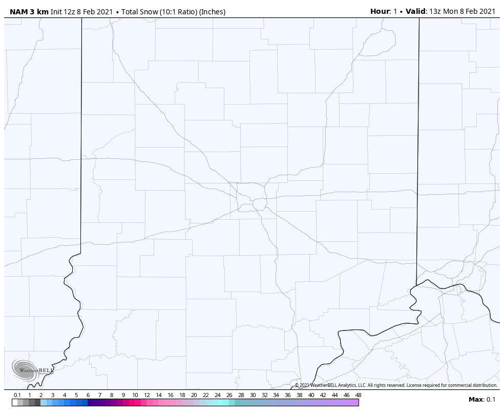
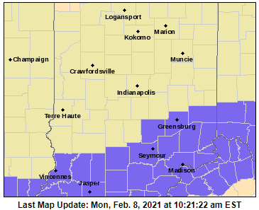
Snow returns this evening to central Indiana, with an inch or two possible to the south and southeast of Indianapolis, where a Winter Weather Advisory is in place.
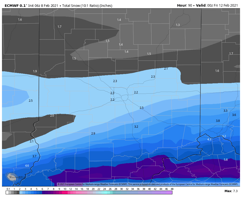
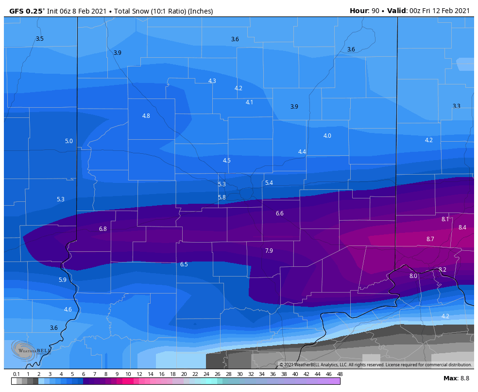
This is likely to be the snowiest week we’ve seen in some time in central Indiana. Here are two raw computer-modeled looks at snowfall (on a simple formula of 10:1 liquid to snow) from Monday through Thursday.
Never miss me! Subscribe for free. My Huge Radar has real-time weather tracking, current temperatures, and severe weather watches and warnings. Get detailed Indiana conditions by clicking here. Click here to see my central Indiana 7-Day Forecast. Follow these links to get my forecasts for Lafayette, Muncie, Hendricks County, and Hamilton County. Need a second opinion? Click here for central Indiana National Weather Service forecasts. (Some charts via WeatherBELL.)
Cold air stays all week, with wind chills in the single digits and teens. Saturday morning’s low of 0 in Indy was the lowest low since January 31, 2019. The low was -3 in Lafayette, 1 in Muncie, 3 in Terre Haute, and 4 in Bloomington.
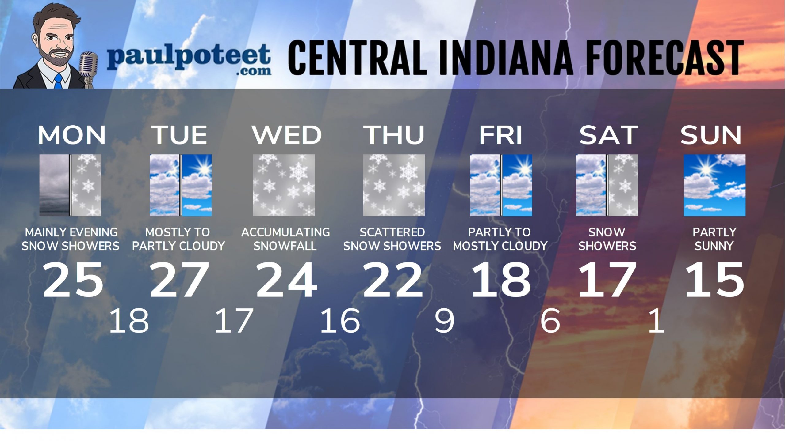
INDY SEVEN DAY FORECAST
Today: Afternoon snow showers. High 25.
Tonight: Snow showers, accumulating around an inch by morning. An inch or two south and southeast of Indianapolis. Low 18.
Tuesday: Mostly to partly cloudy. High 27.
Tuesday Night: Mostly cloudy. Snow begins after midnight. Low 17.
Wednesday: Accumulating snow is likely. High 24.
Wednesday Night: Snow is likely. Low 16.
Thursday: Cloudy, with scattered snow showers. High 22.
Thursday Night: Scattered snow showers. Low 9.
Friday: Partly to mostly cloudy. High 18.
Friday Night: Mostly cloudy. Low 6.
Saturday: Mostly cloudy. Snow showers possible. High 17.
Saturday Night; Snow showers. Low 1.
Sunday: Partly sunny. High 15.
Never miss me! Subscribe for free. My Huge Radar has real-time weather tracking, current temperatures, and severe weather watches and warnings. Get detailed Indiana conditions by clicking here. Click here to see my central Indiana 7-Day Forecast. Follow these links to get my forecasts for Lafayette, Muncie, Hendricks County, and Hamilton County. Need a second opinion? Click here for central Indiana National Weather Service forecasts. (Some charts via WeatherBELL.)


