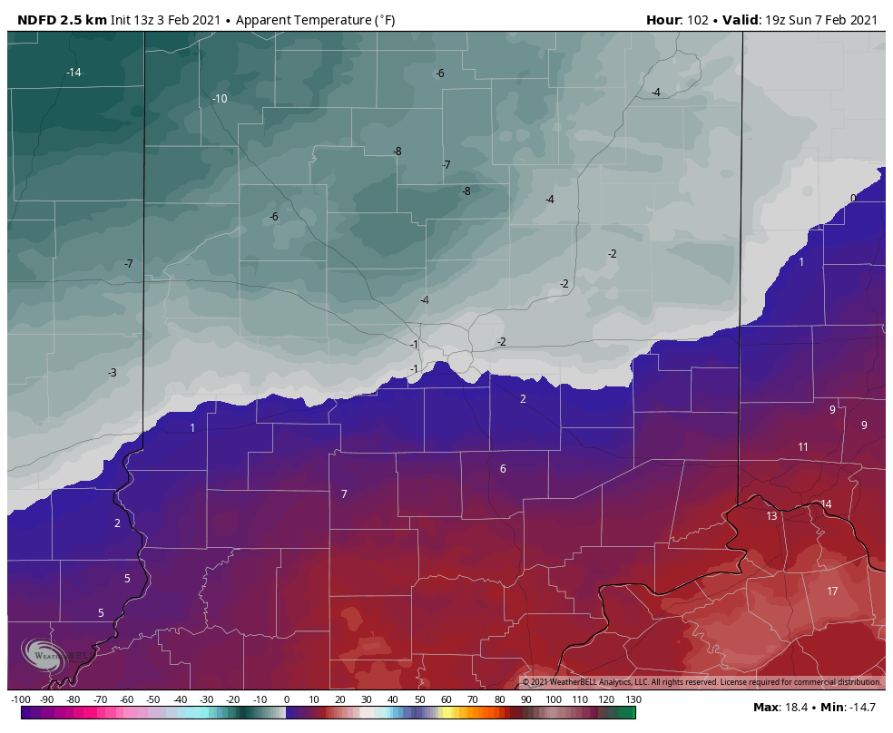
The coldest air of the season is waiting in the weekend wings for central Indiana. Below is the chart showing “feels-like” temperature on Sunday afternoon. (During the second or third hour of the six hour pre-game show.)
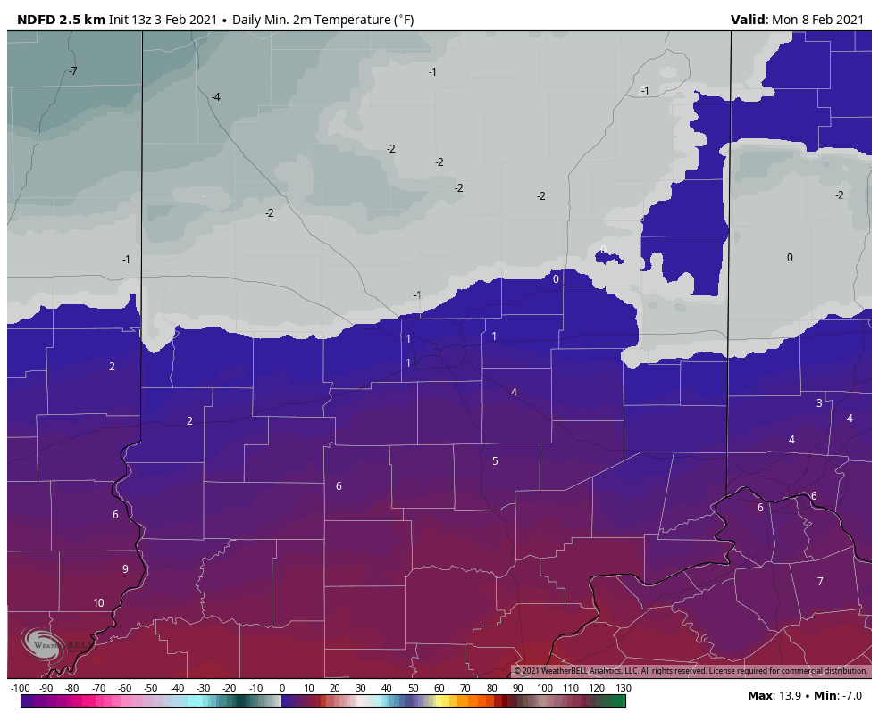
The actual air temperature Monday morning will fall below zero in the northern half of the state.
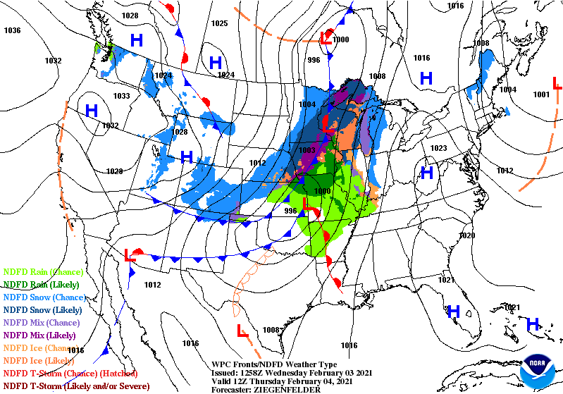
Tomorrow’s weathermaker is centered well north of the area, so it’s mainly a rain thing for us.
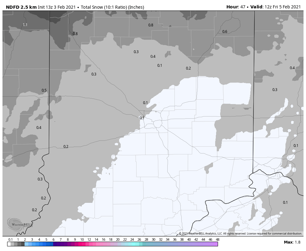
We still could see small snow amounts of snow Thursday night as cooler air (the first of a couple cold shots in a row) arrives.
Never miss me! Subscribe for free. My Huge Radar has real-time weather tracking, current temperatures, and severe weather watches and warnings. Get detailed Indiana conditions by clicking here. Click here to see my central Indiana 7-Day Forecast. Follow these links to get my forecasts for Lafayette, Muncie, Hendricks County, and Hamilton County. Need a second opinion? Click here for central Indiana National Weather Service forecasts. (Some charts via WeatherBELL.)
INDY SEVEN DAY FORECAST
Today: Partly to mostly sunny. High 35.
Tonight: Partly to mostly cloudy. Low 24.
Thursday: Mostly cloudy. Afternoon rain showers. Wind gusting to 30 mph. High 41.
Thursday Night: Rain and snow showers. Wind gusting to 35 mph. Low 21.
Friday: Mostly cloudy with a few flurries in the morning. Partly sunny in the afternoon. Wind gusting to 35 mph. High 28.
Friday Night: Partly cloudy. Low 14.
Saturday: Clouding up, with afternoon snow. High 28.
Saturday Night: Snow in the evening. An inch or two of accumulation. Low 6.
Sunday: Mostly to partly cloudy. A few flurries possible. High 15.
Sunday Night: Mostly cloudy, with a chance of snow showers. Low 2.
Monday: Partly sunny. High 19.
Monday Night: Snow showers. Low 9.
Tuesday: Snow showers. High 21.

Never miss me! Subscribe for free. My Huge Radar has real-time weather tracking, current temperatures, and severe weather watches and warnings. Get detailed Indiana conditions by clicking here. Click here to see my central Indiana 7-Day Forecast. Follow these links to get my forecasts for Lafayette, Muncie, Hendricks County, and Hamilton County. Need a second opinion? Click here for central Indiana National Weather Service forecasts. (Some charts via WeatherBELL.)


