A little milder today, and a little more to stop your SAD.
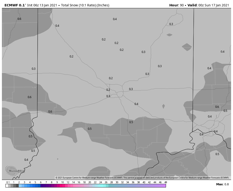
There is still snow Friday, but not much. The snow will peak Friday afternoon and evening, but less than an inch is expected.

Never miss me! Subscribe for free. My Huge Radar has real-time weather tracking, current temperatures, and severe weather watches and warnings. Get detailed Indiana conditions by clicking here. Click here to see my central Indiana 7-Day Forecast. Follow these links to get my forecasts for Lafayette, Muncie, Hendricks County, and Hamilton County. Need a second opinion? Click here for central Indiana National Weather Service forecasts. (Some charts via WeatherBELL.)
INDY SEVEN DAY FORECAST
Today: Morning sunshine. Mostly cloudy by late afternoon. High 46.
Tonight: Mostly cloudy evening. Partly cloudy overnight. Low 32.
Thursday: Partly to mostly cloudy. High 44.
Thursday Night: Cloudy. Rain showers, mixing with snow showers after midnight. Low 31.
Friday: Partly to mostly cloudy. Scattered rain and snow showers. High 38.
Friday Night: Scattered snow showers. Little accumulation. Low 27.
Saturday: Cloudy, with flurries at times. High 34.
Saturday Night: Mostly cloudy. Low 26.
Sunday: Cloudy, with light snow in the afternoon. High 32.
Sunday Night: Light snow. Total accumulations around an inch possible. Low 23.
Monday: Mostly cloudy. High 33.
Monday Night: Mostly cloudy. Low 25.
Tuesday: Mostly cloudy. Afternoon snow showers. High 36.

Never miss me! Subscribe for free. My Huge Radar has real-time weather tracking, current temperatures, and severe weather watches and warnings. Get detailed Indiana conditions by clicking here. Click here to see my central Indiana 7-Day Forecast. Follow these links to get my forecasts for Lafayette, Muncie, Hendricks County, and Hamilton County. Need a second opinion? Click here for central Indiana National Weather Service forecasts. (Some charts via WeatherBELL.)


