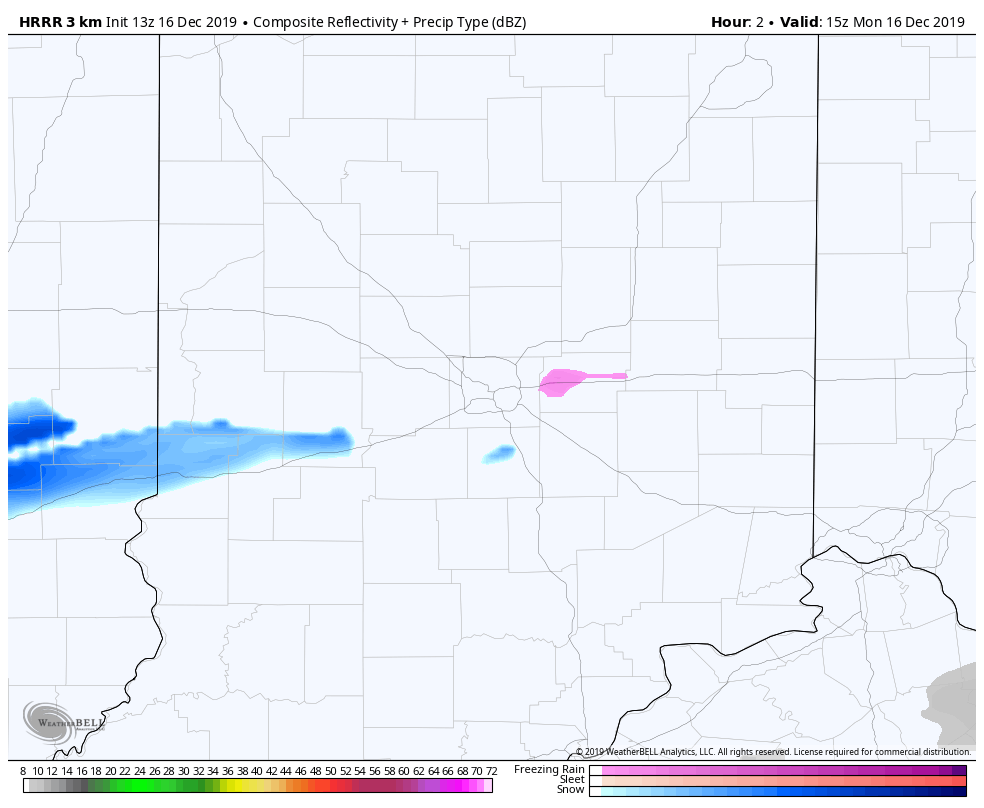
Yet another 2-4 inches of snow this afternoon and tonight, and that’s the reason for the Winter Storm Warning. (Watches, warnings, and advisories are always updated on My Huge Radar.)
SUNDAY NIGHT SNOW TOTALS via the NWS
5.0″ Mccordsville
4.6″ Fishers, Beech Grove
4.3″ NWS Indianapolis
4.2″ Eagle Creek, Plainfield
4.0″ Monrovia, Westfield
3.5″ Carmel, Greencastle, Avon, Zionsville, Rushville
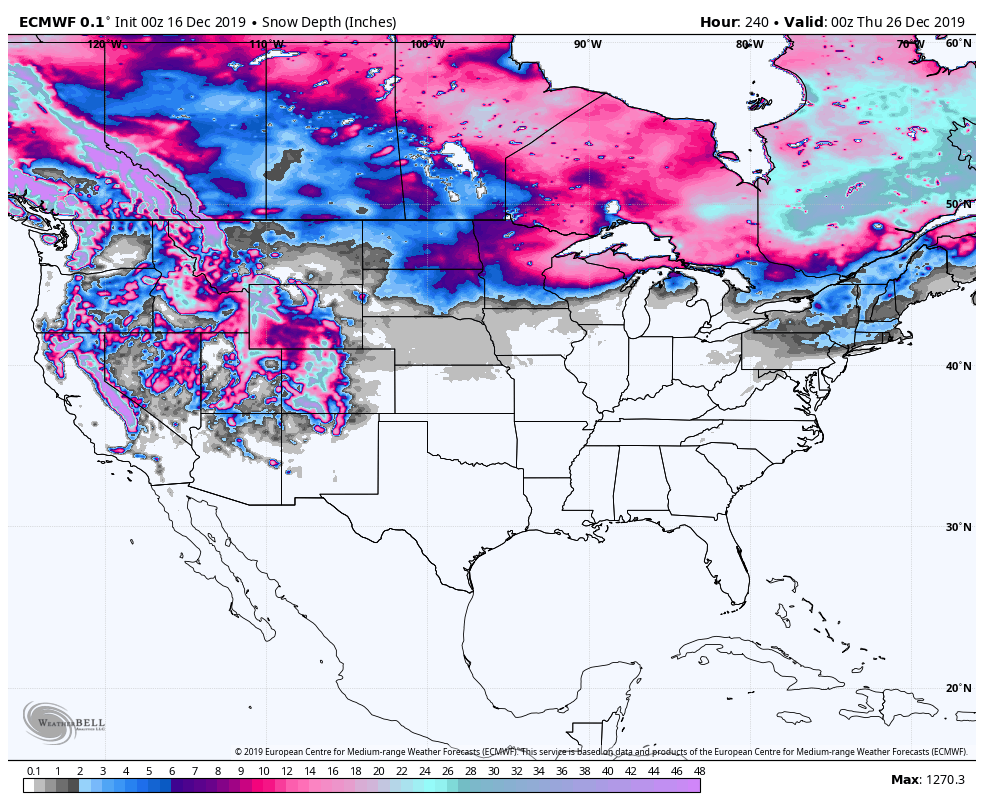
If these snow events were a week later…we’d have that White Christmas. For the moment the computer modeling for “snow on the ground” Christmas Day doesn’t look promising.
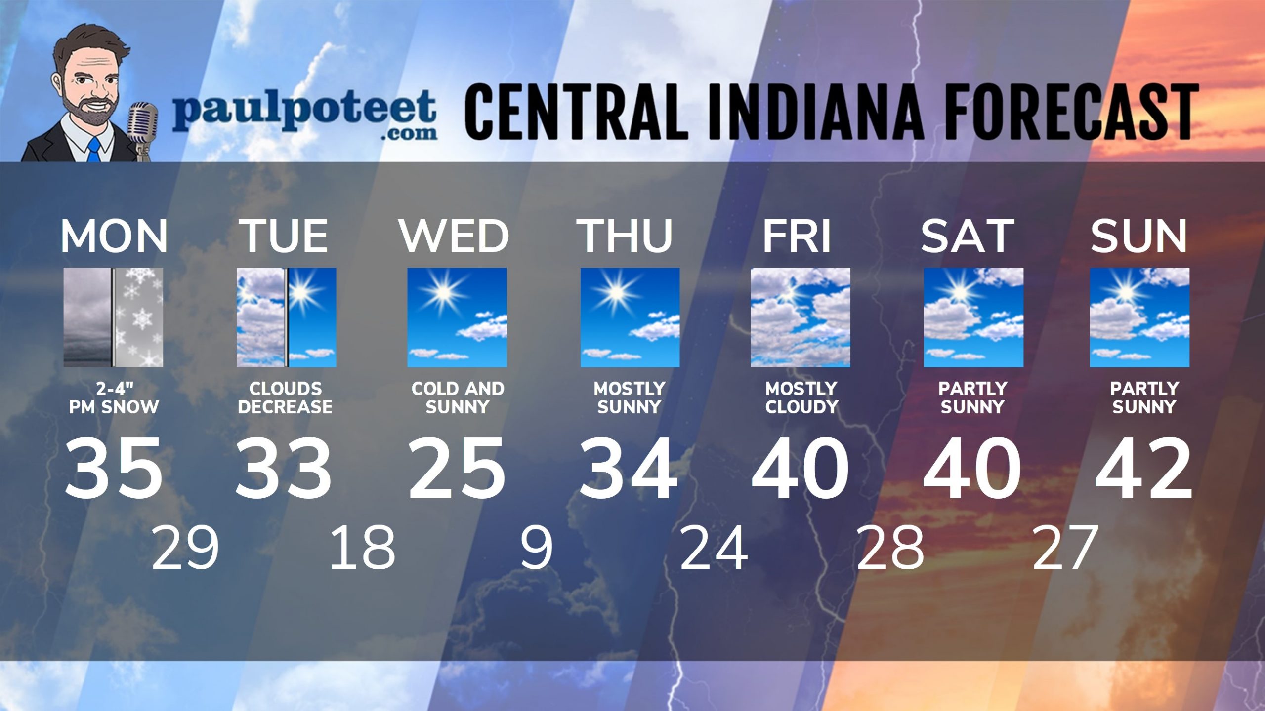
INDY SEVEN DAY FORECAST
Today: Snow returns in the afternoon. High 35.
Tonight: Snow, with an additional accumulation of 2-4 inches. Low 29.
Tuesday: Snow ends by daybreak. Clouds decrease by afternoon. High 33.
Tuesday Night: Partly cloudy. Low 18.
Wednesday: Mostly sunny. High 25.
Wednesday Night: Clear sky. Low 9.
Thursday: Mostly sunny. High 34.
Thursday Night: Partly cloudy. Low 24.
Friday: Mostly cloudy. High 40.
Friday Night: Mostly cloudy. Low 28.
Saturday: Partly sunny. High 40.
Saturday Night: Partly cloudy. Low 27.
Sunday: Partly sunny. High 42.
Never miss me! Subscribe for free. My Huge Radar has real-time weather tracking, current temperatures, and severe weather watches and warnings. Get detailed Indiana conditions by clicking here. Click here to see my central Indiana 7-Day Forecast. Follow these links to get my forecasts for Lafayette, Muncie, Hendricks County, and Hamilton County. Need a second opinion? Click here for central Indiana National Weather Service forecasts. (Some charts via WeatherBELL.)


Indiana’s Weather For Monday
Yet another 2-4 inches of snow this afternoon and tonight, and that’s the reason for… https://t.co/nCnk2ZJWKy