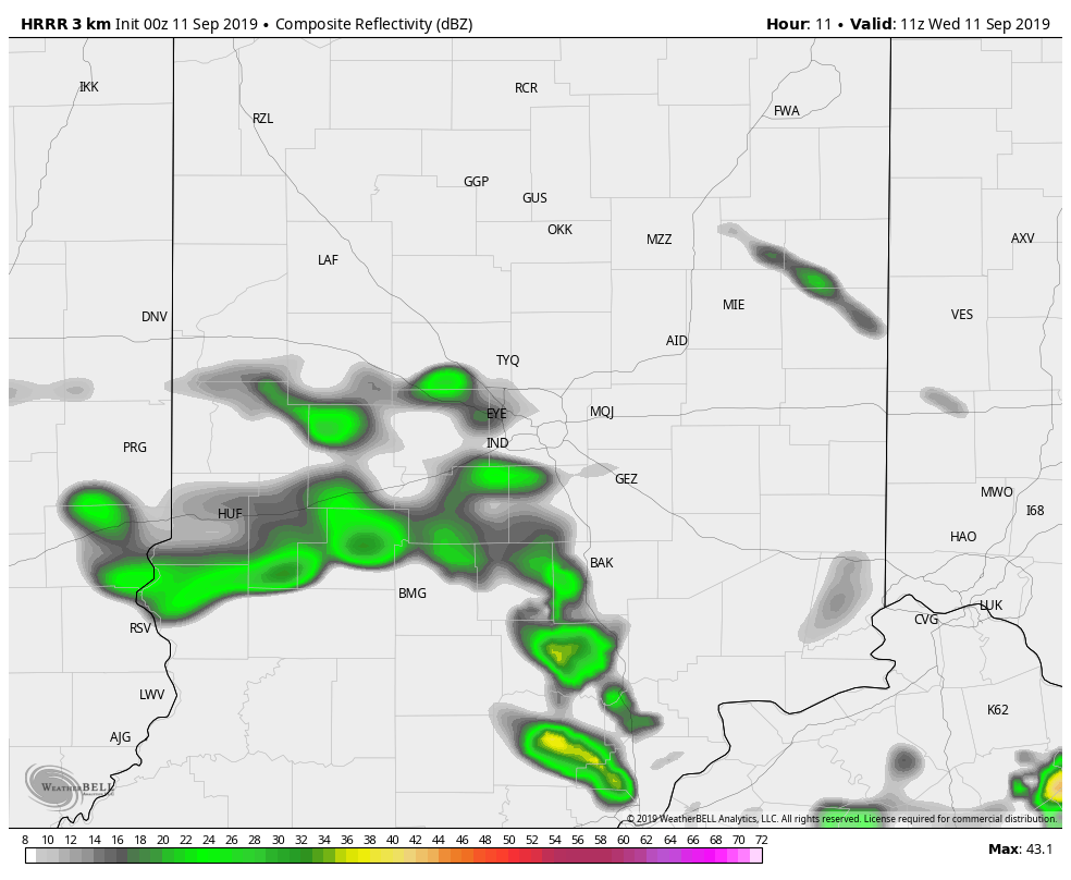
The biggest chance of showers and storms in the state today will be in the northeastern third of the state.
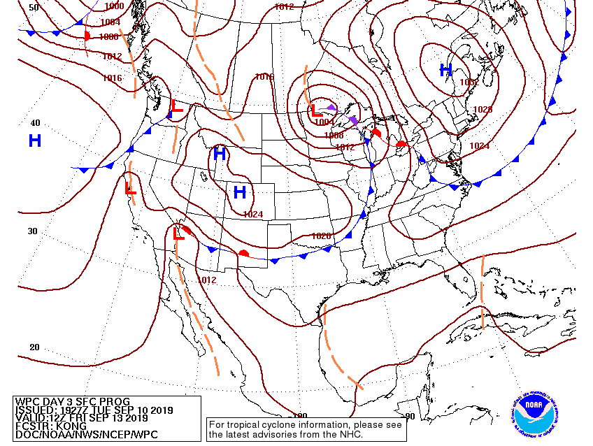
The bigger chance of rain and storms overall remains Friday, when a cold front moves through.
Before that, however, more above average numbers. Yesterday’s high hit 92 in Indy, just four degrees away from tying a record. The high was also 92 in Muncie and Terre Haute, 91 in Bloomington, and 89 in Lafayette.
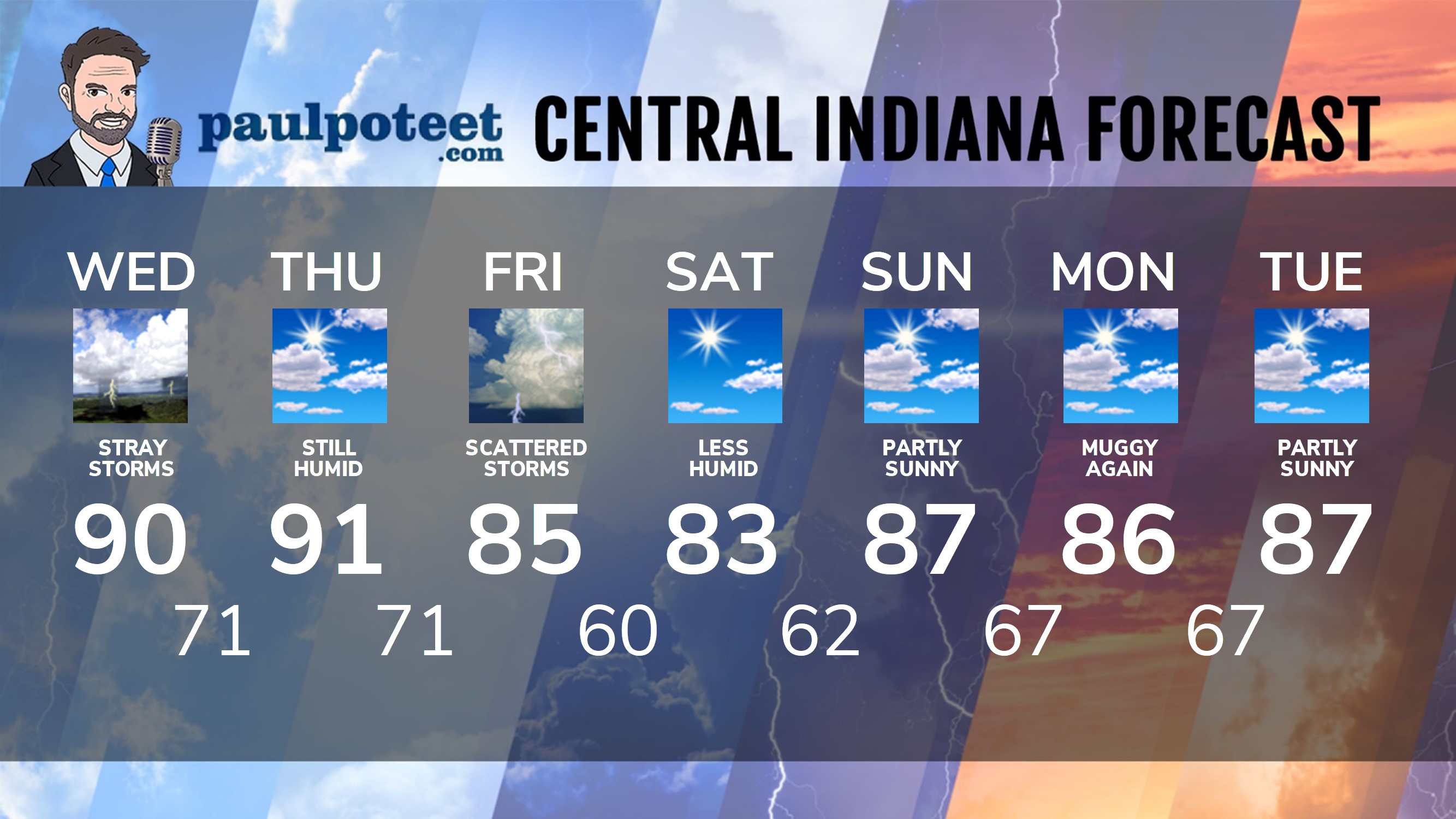
INDY SEVEN DAY FORECAST
Today: Partly sunny. Stray shower or storm. High 90.
Tonight: Mostly clear. Low 71.
Thursday: Partly sunny. High 91.
Thursday Night: Partly cloudy. Spotty shower or storm after midnight. Low 71.
Friday: Partly sunny. Scattered showers and storms. High 85.
Friday Night: Partly cloudy. Low 60.
Saturday: Mostly sunny and less humid. High 83.
Saturday Night: Partly cloudy. Low 62.
Sunday: Partly sunny. High 87.
Sunday Night: Partly cloudy. Low 67.
Monday: Partly sunny. Muggy again! High 86.
Monday Night: Partly cloudy. Low 67.
Tuesday: Partly sunny. High 87.
Never miss me! Subscribe for free. My Huge Radar has real-time weather tracking, current temperatures, and severe weather watches and warnings. Get detailed Indiana conditions by clicking here. Click here to see my central Indiana 7-Day Forecast. Follow these links to get my forecasts for Lafayette, Muncie, Hendricks County, and Hamilton County. Need a second opinion? Click here for central Indiana National Weather Service forecasts. (Some charts via WeatherBELL.)


Indiana’s Weather For Wednesday
The biggest chance of showers and storms in the state today will be in the northe… https://t.co/fiFQogiZJX
RT @PaulPoteet: Indiana’s Weather For Wednesday
The biggest chance of showers and storms in the state today will be in the northeastern t…