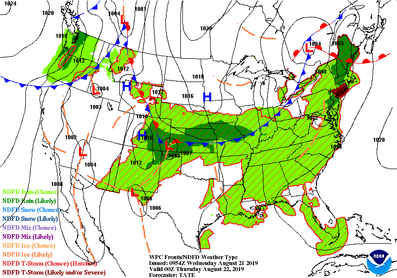
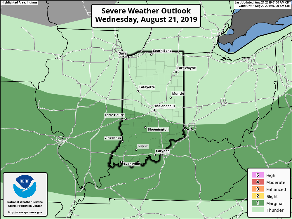
A break again for most of today from storms, in the absence of any significant upper level energy until later in the day. A cold front is slipping slowly southward, and places south of that front late this afternoon and evening have the best chance of a few gusty thunderstorms.
For a recap of yesterday’s storms,click here.
INDY SEVEN DAY FORECAST
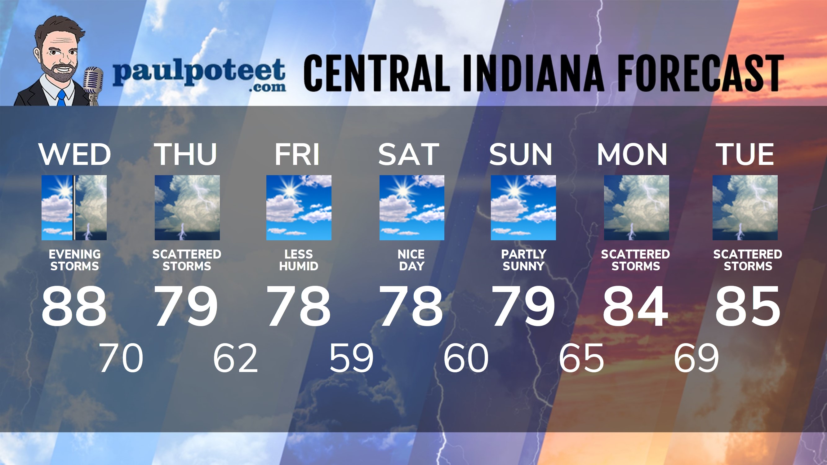
Today: Becoming partly sunny. Isolated afternoon shower or storm. High 88.
Tonight: Better chance of showers and storms. Some storms could be strong. Low 70.
Thursday: Mostly cloudy, with scattered showers. Storms possible. High 79.
Thursday Night: Scattered showers. Some thunder possible. Low 62.
Friday: Partly sunny. Less humid. High 78.
Friday Night: Partly cloudy. Low 59.
Saturday: Partly sunny. High 78.
Saturday Night: Partly cloudy. Low 60.
Sunday: Partly sunny. High 79.
Sunday Night: Partly cloudy. Low 65.
Monday: Partly sunny, with scattered showers and storms. High 84.
Monday Night: Scattered showers and storms. Low 69.
Tuesday: Partly sunny, with scattered showers and storms. High 85.
Never miss me! Subscribe for free. My Huge Radar has real-time weather tracking, current temperatures, and severe weather watches and warnings. Get detailed Indiana conditions by clicking here. Click here to see my central Indiana 7-Day Forecast. Follow these links to get my forecasts for Lafayette, Muncie, Hendricks County, and Hamilton County. Need a second opinion? Click here for central Indiana National Weather Service forecasts. (Some charts via WeatherBELL.)


RT @PaulPoteet: Indiana’s Weather For Wednesday
A break again for most of today from storms, in the absence of any significant upper leve…
RT @PaulPoteet: Indiana’s Weather For Wednesday
A break again for most of today from storms, in the absence of any significant upper leve…