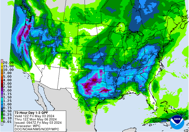
 Less rain has fallen in the south/southeast, but don’t worry: Bill’s on the way. Leftovers from that tropical system should soak the south the most later Friday night into Saturday morning. Two to four inches may fall south of Indy.
 More waves of water will wash ashore in central Indiana Thursday afternoon and evening. This computer projection runs through 7pm:
 PAUL’S PREVIOUS PREDICTION
Yesterday’s high was 79. My forecast was 79.
INDY ALMANAC
The average high today is 83 and the average low is 63. Records are 96 and 45. The sun rises at 6:17 and sets at 9:16.
PAUL’S PREVIOUS PREDICTION
Yesterday’s high was 79. My forecast was 79.
INDY ALMANAC
The average high today is 83 and the average low is 63. Records are 96 and 45. The sun rises at 6:17 and sets at 9:16.
 INDY SEVEN DAY FORECAST
Today: Mostly cloudy with a chance of afternoon showers and storms. High 85.
Thursday Night: Shower and storm chances. Low 67.
Friday: Mostly cloudy. Shower and storm chances. High 78.
Friday Night: Chance of showers and storms. Low 67.
Saturday: Chance of showers and storms, mainly in the morning. High 83.
Saturday Night: Partly cloudy. Low 70.
Sunday: Partly sunny. Afternoon showers and storms. High 85.
Sunday Night: Chance of showers and storms. Low 69.
Monday: Partly sunny. Chance of showers and storms. High 85.
Monday Night: Partly cloudy. Low 68.
Tuesday: Partly sunny. Slight shower and storm chances. High 87.
Tuesday Night: Partly cloudy. Low 71.
Wednesday: Partly sunny. High 90.
]]>
INDY SEVEN DAY FORECAST
Today: Mostly cloudy with a chance of afternoon showers and storms. High 85.
Thursday Night: Shower and storm chances. Low 67.
Friday: Mostly cloudy. Shower and storm chances. High 78.
Friday Night: Chance of showers and storms. Low 67.
Saturday: Chance of showers and storms, mainly in the morning. High 83.
Saturday Night: Partly cloudy. Low 70.
Sunday: Partly sunny. Afternoon showers and storms. High 85.
Sunday Night: Chance of showers and storms. Low 69.
Monday: Partly sunny. Chance of showers and storms. High 85.
Monday Night: Partly cloudy. Low 68.
Tuesday: Partly sunny. Slight shower and storm chances. High 87.
Tuesday Night: Partly cloudy. Low 71.
Wednesday: Partly sunny. High 90.
]]>
Never miss me! Subscribe for free. My Huge Radar has real-time weather tracking, current temperatures, and severe weather watches and warnings. Get detailed Indiana conditions by clicking here. Click here to see my central Indiana 7-Day Forecast. Follow these links to get my forecasts for Lafayette, Muncie, Hendricks County, and Hamilton County. Need a second opinion? Click here for central Indiana National Weather Service forecasts. (Some charts via WeatherBELL.)


