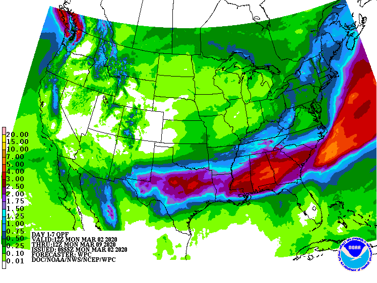
The active weather this week is largely suppressed to the South.
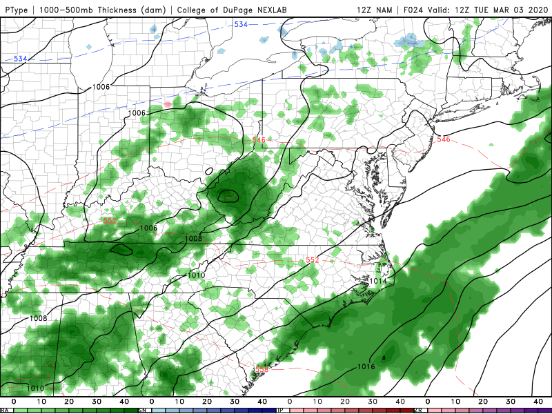
Rain ends from west to east across Indiana through the midday. Here are precipitation totals through 9am.
0.24″ Bloomington
0.23″ Lafayette
0.19″ Indy
0.12″ Muncie
There might be stray showers east/south of Indy tonight.
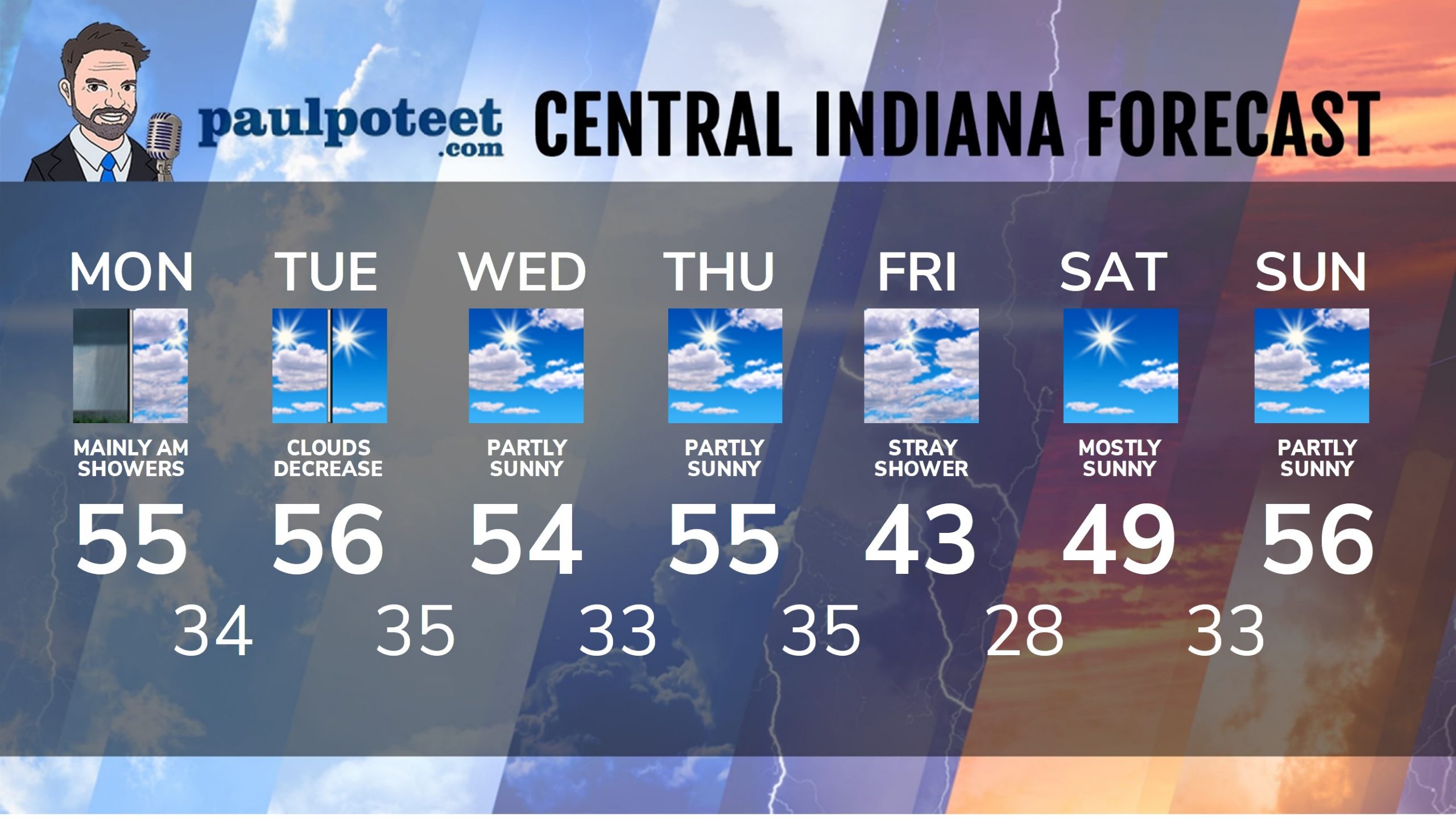
INDY SEVEN DAY FORECAST
Today: Morning and midday rain. Wind gusting to 30 mph. High 55.
Tonight: Mostly cloudy. Spotty showers possible, mainly to the south. Low 34.
Tuesday: Clouds early, mainly to the south/east. Partly to mostly sunny. High 56.
Tuesday Night: Mostly clear. Low 35.
Wednesday: Partly sunny. High 54.
Wednesday Night: Partly cloudy. Low 33.
Thursday: Partly sunny. High 55.
Thursday Night: Partly to mostly cloudy, with a stray shower possible. Low 35.
Friday: Partly to mostly cloudy, with a stray shower possible in the morning. Breezy and colder. High 43.
Friday Night: Clearing and colder. Low 28.
Saturday: Mostly sunny. High 49.
Saturday Night: Partly cloudy. Low 33.
Sunday: Partly sunny. High 56.
Never miss me! Subscribe for free. My Huge Radar has real-time weather tracking, current temperatures, and severe weather watches and warnings. Get detailed Indiana conditions by clicking here. Click here to see my central Indiana 7-Day Forecast. Follow these links to get my forecasts for Lafayette, Muncie, Hendricks County, and Hamilton County. Need a second opinion? Click here for central Indiana National Weather Service forecasts. (Some charts via WeatherBELL.)


RT @PaulPoteet: Indiana’s Weather For Monday: The active weather this week is largely suppressed to the South.
Rain ends from west to eas…