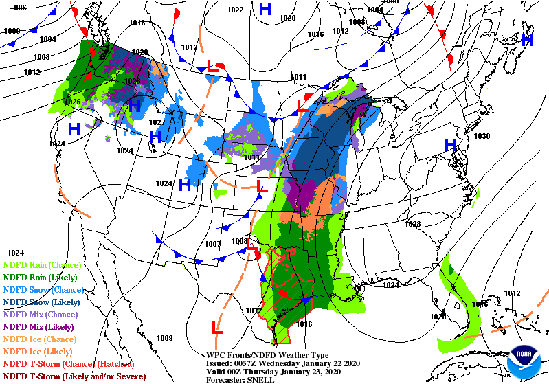
Temps should head back above freezing today, after a three-day stretch of cold weather. The wind was out of the northwest yesterday morning, and it’s out of the south/southeast today, helping with a little heat. The flow comes between big areas of high pressure to the east and low pressure to the west.
That low pressure brings us precipitation Thursday night through Saturday. The biggest dose will be Friday. The total amount of moisture will be near or less than a half-inch. (Graphic via WeatherBELL.)
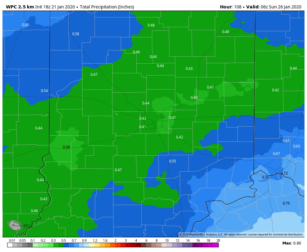
The system will bring us mainly rain, but up to an inch of snow is possible.
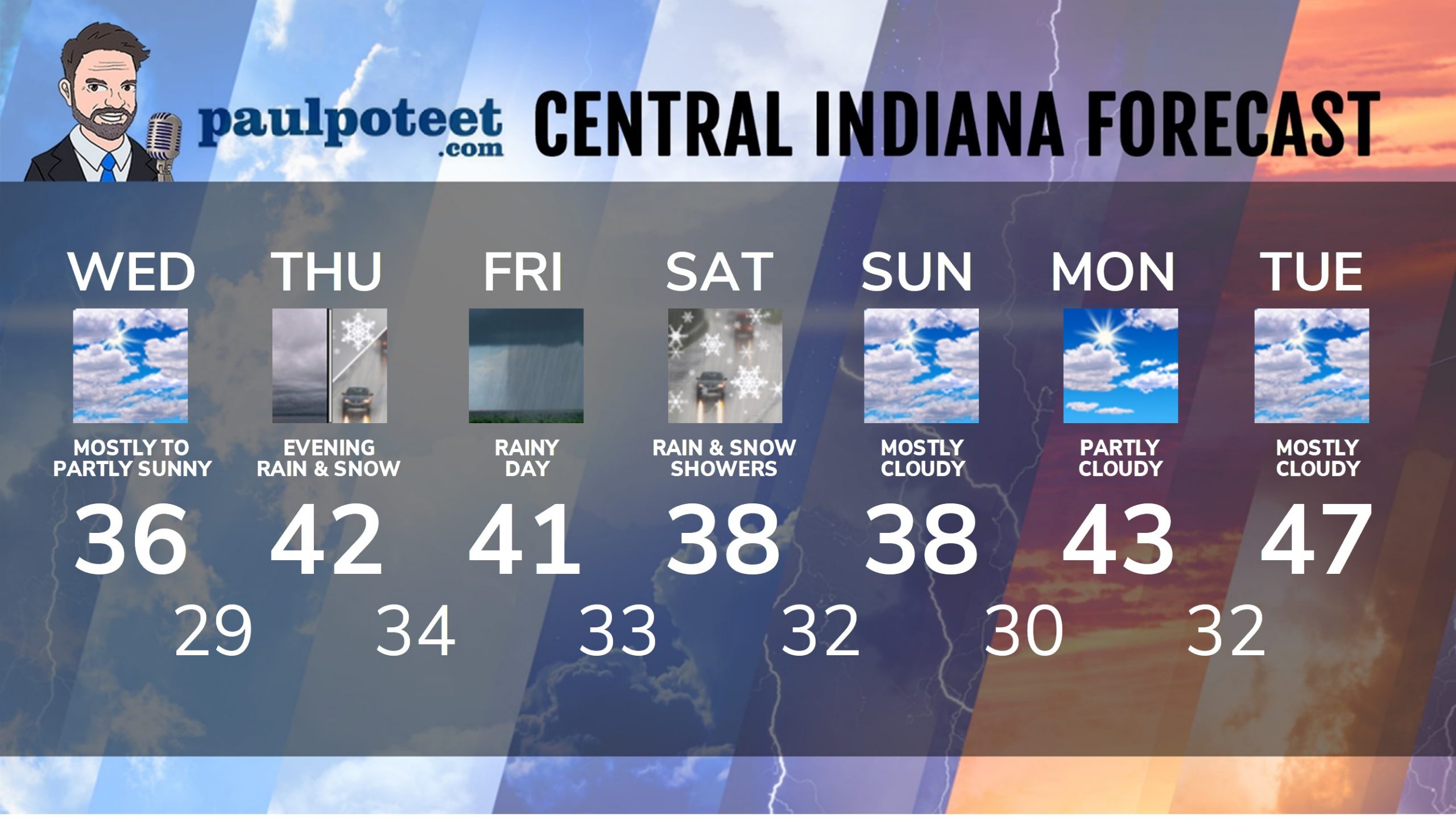
INDY SEVEN DAY FORECAST
Today: Mostly cloudy. High 36.
Tonight: Cloudy and not as cold. Low 29.
Thursday: Cloudy. High 42.
Thursday Night: Scattered rain and snow showers. Low 34.
Friday: A rainy day. High 41.
Friday Night: Rain, possibly mixed with snow. Low 33.
Saturday: Rain and snow showers. High 38.
Saturday Night: Snow showers. Totals less than an inch. Low 32.
Sunday: Mostly cloudy. High 38.
Sunday Night: Mostly cloudy. Low 30.
Monday: Partly cloudy. High 43.
Monday Night: Partly cloudy. Low 32.
Tuesday: Mostly cloudy. High 47.
Never miss me! Subscribe for free. My Huge Radar has real-time weather tracking, current temperatures, and severe weather watches and warnings. Get detailed Indiana conditions by clicking here. Click here to see my central Indiana 7-Day Forecast. Follow these links to get my forecasts for Lafayette, Muncie, Hendricks County, and Hamilton County. Need a second opinion? Click here for central Indiana National Weather Service forecasts. (Some charts via WeatherBELL.)


Indiana’s Weather For Wednesday
Temps should head back above freezing today, after a three-day stretch of cold we… https://t.co/1rnE66XFrw
RT @PaulPoteet: Indiana’s Weather For Wednesday
Temps should head back above freezing today, after a three-day stretch of cold weather. T…