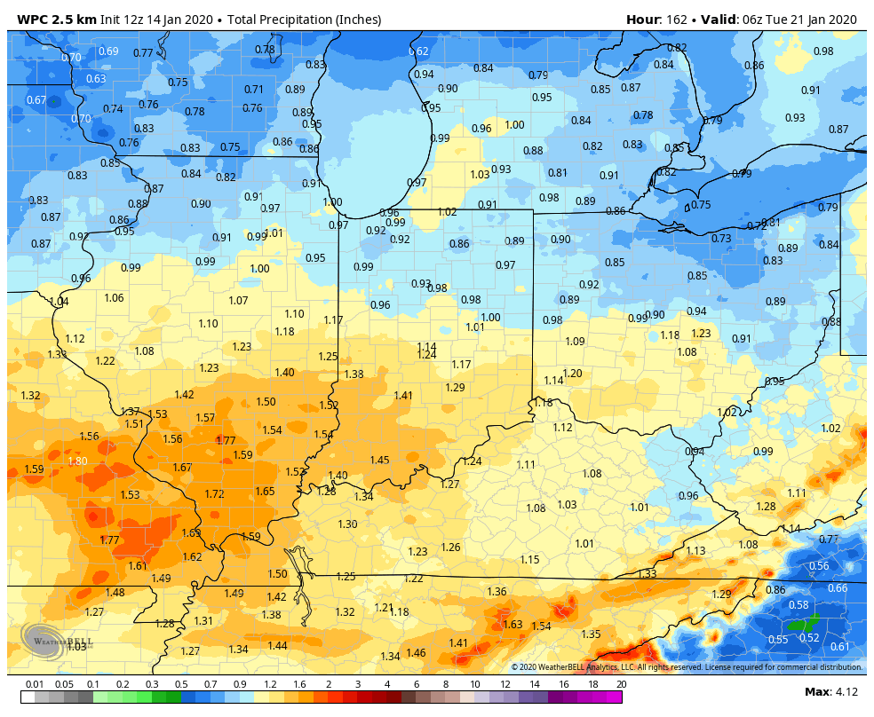
The rain tomorrow won’t be anything like what we had last weekend…just a tenth of an inch or less. The storm arriving this weekend is a bigger deal. Over an inch of un-needed precipitation. Some of that may fall as snow Friday evening before temperatures rise after midnight Saturday morning. Mostly rain Saturday, but a little mo’ snow is possible as the system exits Saturday night.
Here’s a fun fact: the last below-average day in Indy was December 19. That’s finally about to change.
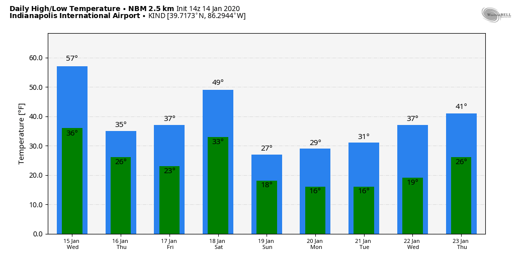
(Charts via WeatherBELL.)
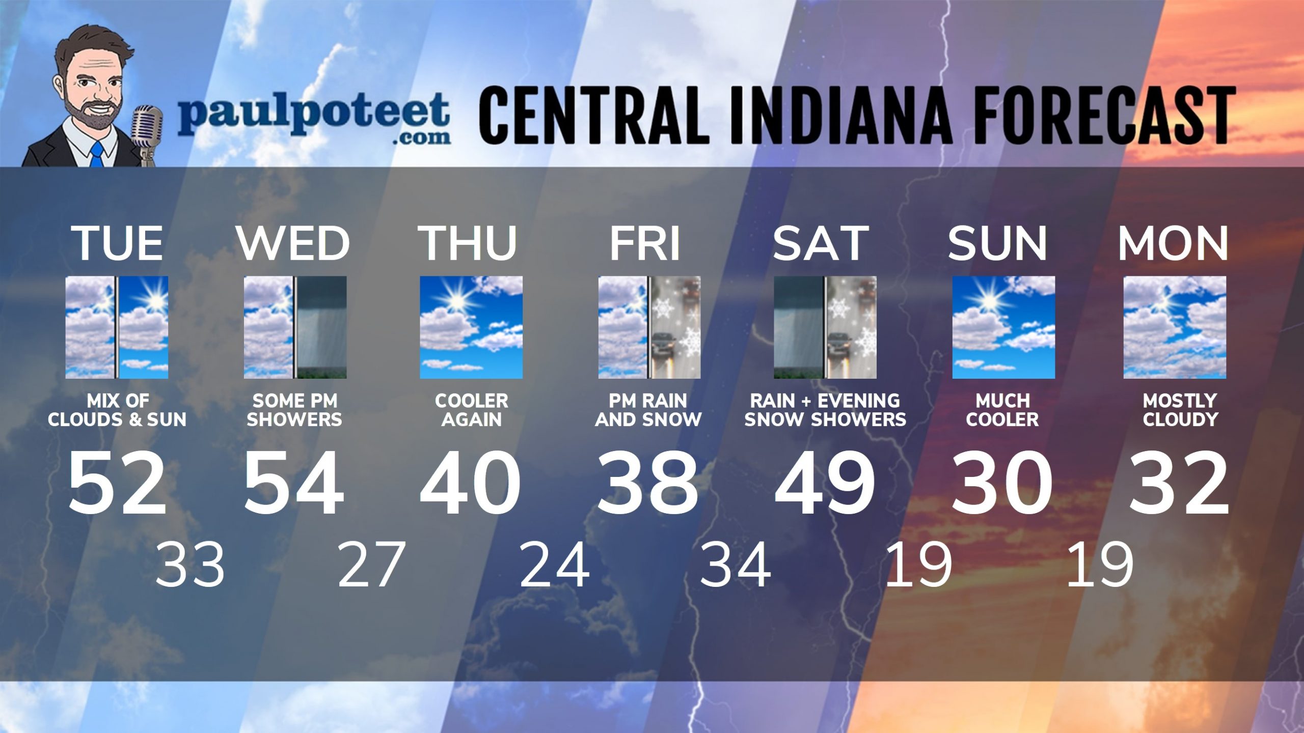
INDY SEVEN DAY FORECAST
Today: Mix of sun and clouds. High 52.
Tonight: Partly cloudy. Low 33.
Wednesday: Clouding up. Scattered showers, mainly in the afternoon. High 54.
Wednesday Night: Spotty shower early, then partly cloudy. Low 27.
Thursday: Partly sunny. High 40.
Thursday Night: Partly cloudy. Low 24.
Friday: Cloudy, with rain and/or snow in the afternoon. High 38.
Friday Night: Snow and/or rain. Temps rise after midnight. Low 34.
Saturday: Rainy. High 49.
Saturday Night: Rain and snow showers. Low 19.
Sunday: Partly sunny. High 30.
Sunday Night: Partly cloudy. Low 19.
Monday: Mostly cloudy. High 32.
Never miss me! Subscribe for free. My Huge Radar has real-time weather tracking, current temperatures, and severe weather watches and warnings. Get detailed Indiana conditions by clicking here. Click here to see my central Indiana 7-Day Forecast. Follow these links to get my forecasts for Lafayette, Muncie, Hendricks County, and Hamilton County. Need a second opinion? Click here for central Indiana National Weather Service forecasts. (Some charts via WeatherBELL.)


Indiana’s Weather For Tuesday
The rain tomorrow won’t be anything like what we had last weekend…just a tenth of a… https://t.co/zrvgrVKAcA