Here’s a snapshot from My Huge Radar at 7:30 this morning.
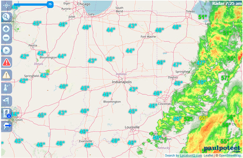
The biggest rain from the cold front occurred to the east of central Indiana. Nothing was measured in Terre Haute or Lafayette. Amounts jumped as you headed toward Ohio.
.03″ | Indianapolis
.04″ | Bloomington
.05″ | Muncie
.43″ | Dayton OH
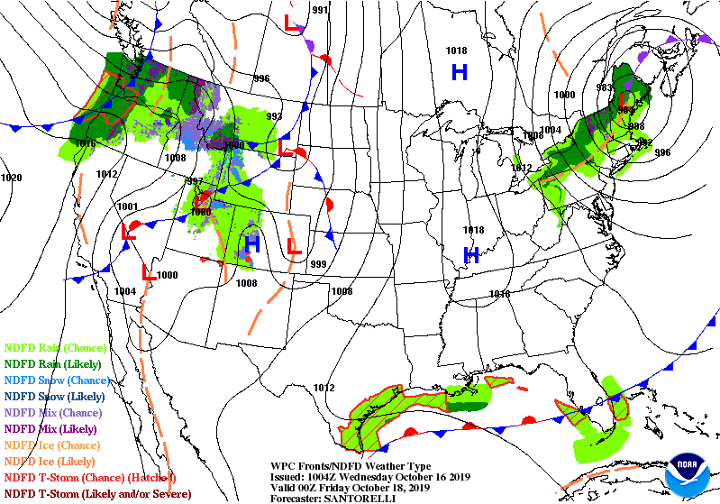
The rain was minimal but the cold will definitely be noticeable today, with northwest winds gusting to 30 mph, and morning chills in the 30s. Tomorrow it won’t be as windy as high pressure drifts overhead. The sky will also be clearer. The lighter wind and clearer sky early Friday morning will lead to patchy frost.
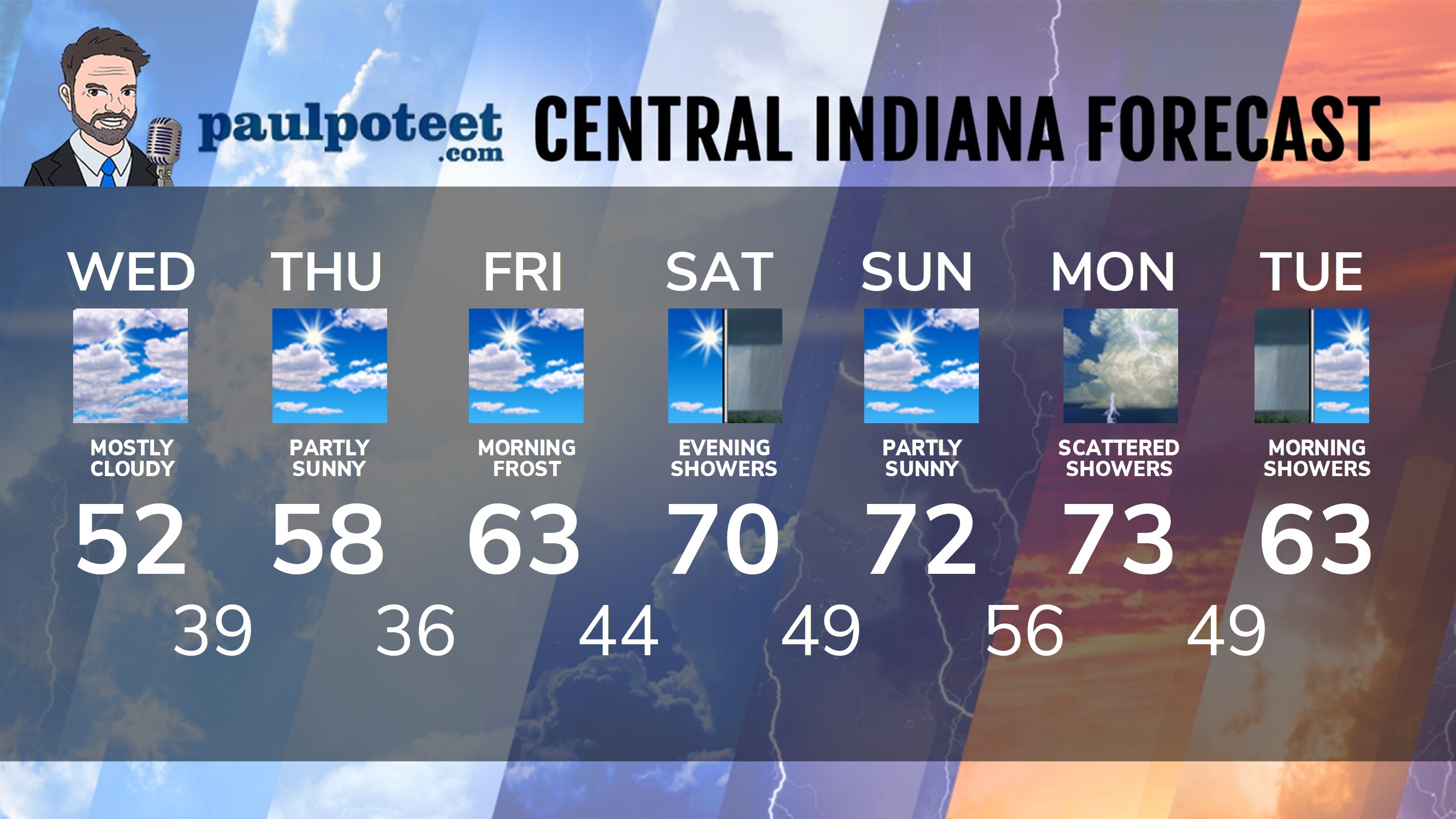
INDY SEVEN DAY FORECAST
Today: Mostly cloudy and much cooler. Wind gusting to 30 mph. High 52.
Tonight: Partly cloudy. Low 39.
Thursday: Mostly sunny morning. Partly sunny afternoon. High 58.
Thursday Night: Mostly clear. Patchy frost late. Low 36.
Friday: Mostly sunny morning. Partly cloudy afternoon. High 63.
Friday Night: Partly cloudy. Low 44.
Saturday: Mostly sunny morning. Partly sunny afternoon. High 70.
Saturday Night: Scattered showers. Low 49.
Sunday: Partly sunny. High 72.
Sunday Night: Partly cloudy. Scattered showers and storms late. Low 56.
Monday: Scattered showers and storms. High 73.
Monday Night: Scattered showers and storms. Low 49.
Tuesday: Morning scattered showers, then partly sunny. High 63.
Never miss me! Subscribe for free. My Huge Radar has real-time weather tracking, current temperatures, and severe weather watches and warnings. Get detailed Indiana conditions by clicking here. Click here to see my central Indiana 7-Day Forecast. Follow these links to get my forecasts for Lafayette, Muncie, Hendricks County, and Hamilton County. Need a second opinion? Click here for central Indiana National Weather Service forecasts. (Some charts via WeatherBELL.)


RT @PaulPoteet: Indiana’s Weather For Wednesday
Here’s a snapshot from My Huge Radar at 7:30 this morning.
The biggest rain from the col…